MyTopo
Saxe Virginia US Topo Map
Couldn't load pickup availability
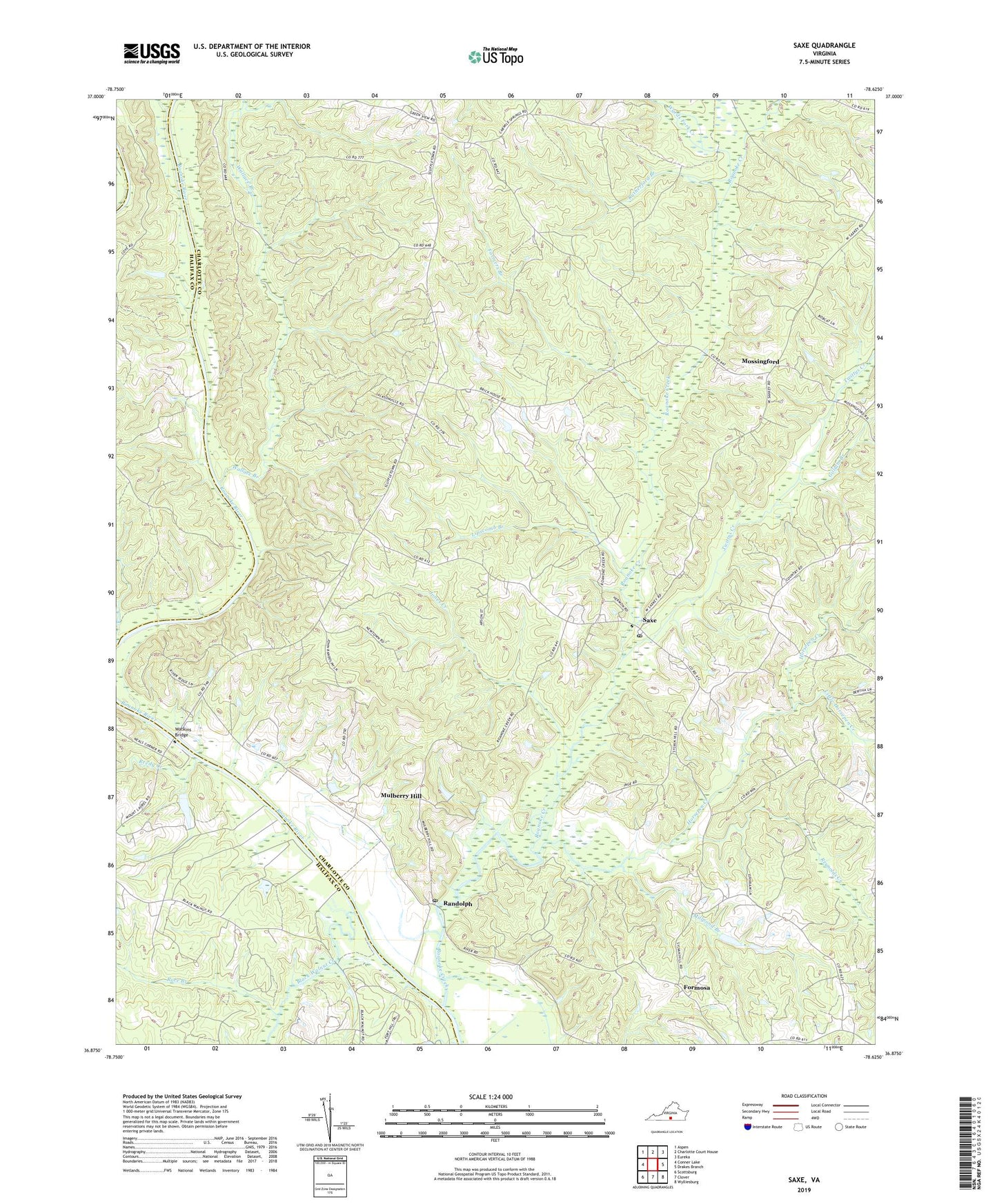
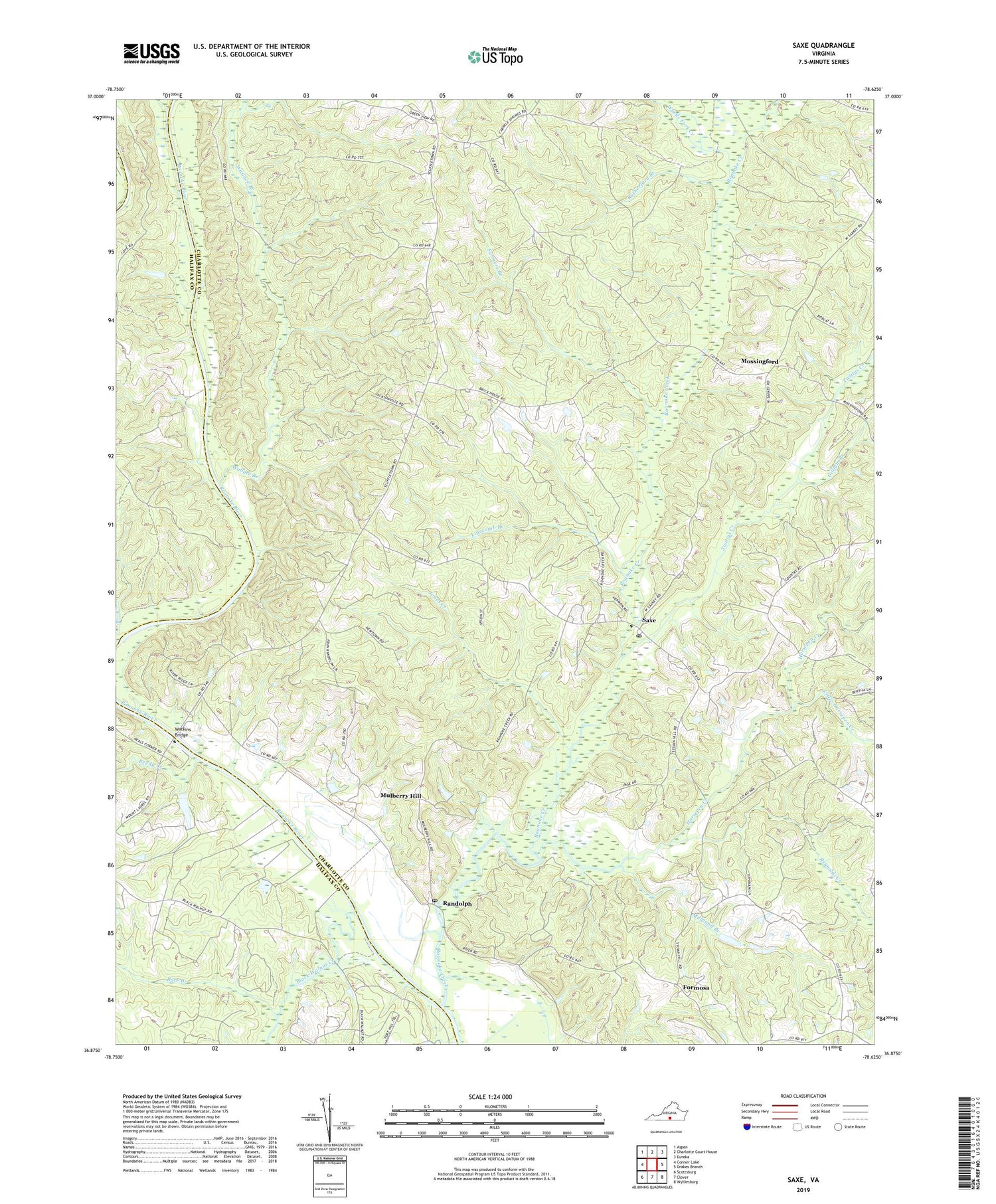
2019 topographic map quadrangle Saxe in the state of Virginia. Scale: 1:24000. Based on the newly updated USGS 7.5' US Topo map series, this map is in the following counties: Charlotte, Halifax. The map contains contour data, water features, and other items you are used to seeing on USGS maps, but also has updated roads and other features. This is the next generation of topographic maps. Printed on high-quality waterproof paper with UV fade-resistant inks.
Quads adjacent to this one:
West: Conner Lake
Northwest: Aspen
North: Charlotte Court House
Northeast: Eureka
East: Drakes Branch
Southeast: Wylliesburg
South: Clover
Southwest: Scottsburg
Contains the following named places: Black Walnut Creek, Burlington Dam, Cove, Devins Lower Dam, Devins Upper Dam, East Branch Wallace Branch, Farmers Branch, Formosa, Galilee Church, Gallilie School, Gilliam Branch, Henry Church, Hermon Church, Horsepen Creek, Jones Creek, Lipscomb Branch, Little Horsepen Creek, Millpond Branch, Mortons Ferry, Mossingford, Mulberry Hill, New Hope Church, Piney Grove Church, Race Branch, Randolph, Randolph Post Office, Reedy Creek, Reynolds Creek, Roanoke Creek, Rutherford Branch, Saxe, Saxe Post Office, Twittys Creek, Wallace Branch, Wards Fork Creek, Watkins Bridge, Willies Dam, ZIP Code: 23967