MyTopo
Abernathy Mountain Washington US Topo Map
Couldn't load pickup availability
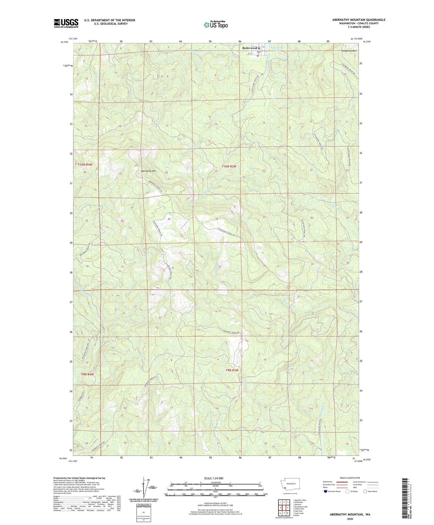
2023 topographic map quadrangle Abernathy Mountain in the state of Washington. Scale: 1:24000. Based on the newly updated USGS 7.5' US Topo map series, this map is in the following counties: Cowlitz. The map contains contour data, water features, and other items you are used to seeing on USGS maps, but also has updated roads and other features. This is the next generation of topographic maps. Printed on high-quality waterproof paper with UV fade-resistant inks.
Quads adjacent to this one:
West: Elochoman Lake
Northwest: Boistfort Peak
North: Wildwood
Northeast: Winlock
East: Castle Rock
Southeast: Kelso
South: Coal Creek
Southwest: Oak Point
This map covers the same area as the classic USGS quad with code o46123c1.
Contains the following named places: Abernathy Mountain, Abernathy Truck Trail, Castle Rock Division, Cowlitz County Fire District 4 Ryderwood, East and West Truck Trail, Pumphrey Mountain, Ryderwood Census Designated Place, Ryderwood Fish Pond Dam, Ryderwood Pond, Ryderwood Post Office, Stillwater Truck Trail, Tucker Creek, ZIP Code: 98581