MyTopo
Ariel Washington US Topo Map
Couldn't load pickup availability
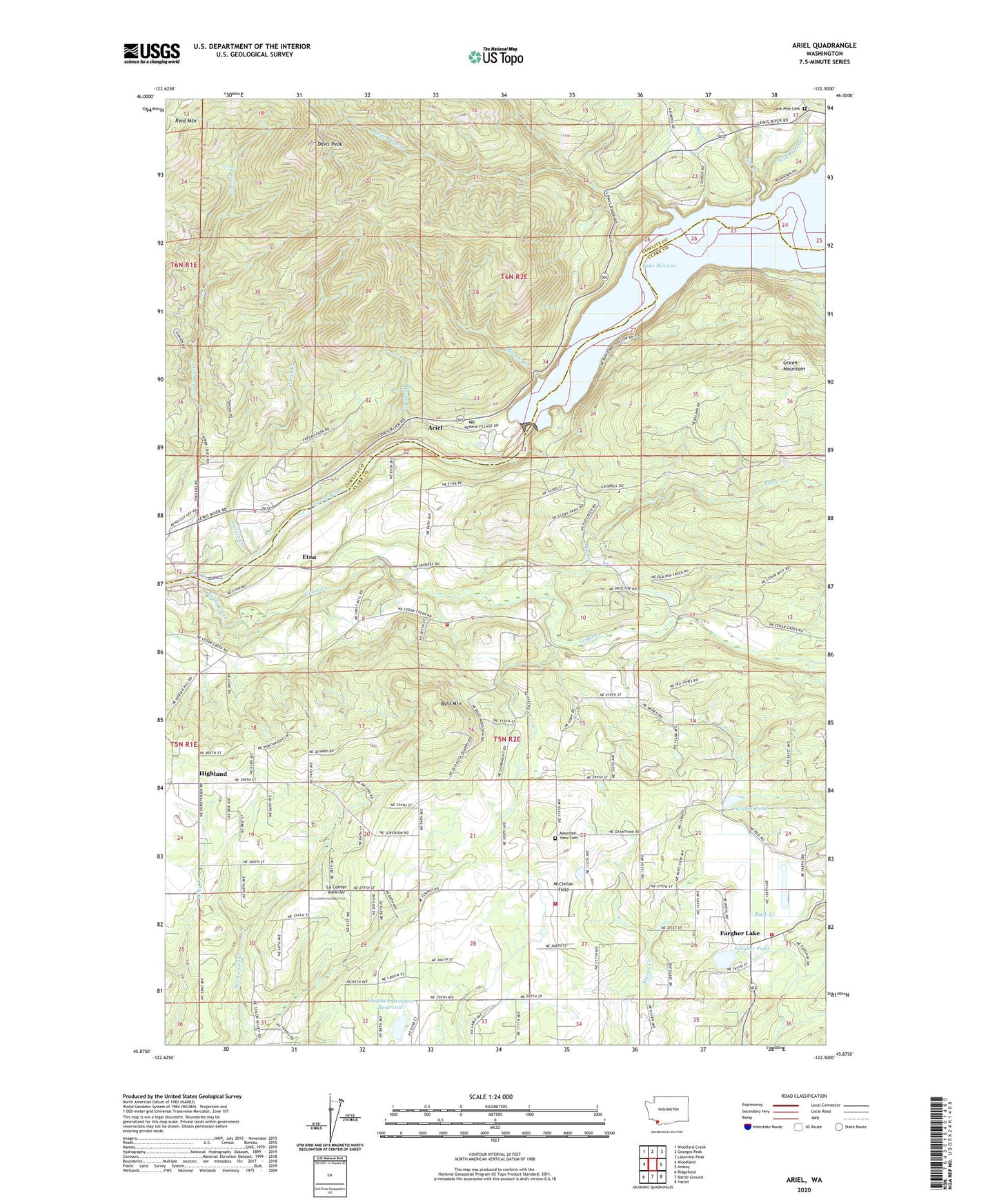
2020 topographic map quadrangle Ariel in the state of Washington. Scale: 1:24000. Based on the newly updated USGS 7.5' US Topo map series, this map is in the following counties: Clark, Cowlitz. The map contains contour data, water features, and other items you are used to seeing on USGS maps, but also has updated roads and other features. This is the next generation of topographic maps. Printed on high-quality waterproof paper with UV fade-resistant inks.
Quads adjacent to this one:
West: Woodland
Northwest: Woolford Creek
North: Georges Peak
Northeast: Lakeview Peak
East: Amboy
Southeast: Yacolt
South: Battle Ground
Southwest: Ridgefield
Contains the following named places: Ariel, Ariel Post Office, Bald Mountain, Cape Horn Creek, Cedar Creek, Cedar Creek State Wildlife Recreation Area, Cedarville, Clark County Fire District 10 Station 103, Clark County Fire District 10 Station 104, Clark County Fire District 10 Station 5, Colvin Creek, Colvin Creek Dam, Davis Peak, Day Creek, Dayton, Elmer Dam, Erickson Dam, Etna, Fargher Lake, Fargher Pond, Fargher Pond Dam, Green Mountain School, Hall, Highland, Husky Creek, Indian George Creek, Jim Creek, La Center Division, La Center View-Air, Lone Pine Cemetery, Marble Creek, McClellan Field, Merwin, Merwin Dam, Mountain View Cemetery, North Country Emergency Medical Services Fire Station 2, North Country Emergency Medical Services Station 2, Pup Creek, Reid Mountain, Tsugawa Brothers Reservoir, Tsugawa Brothers Reservoir Dam, View, ZIP Code: 98629