MyTopo
Beverly NE Washington US Topo Map
Couldn't load pickup availability
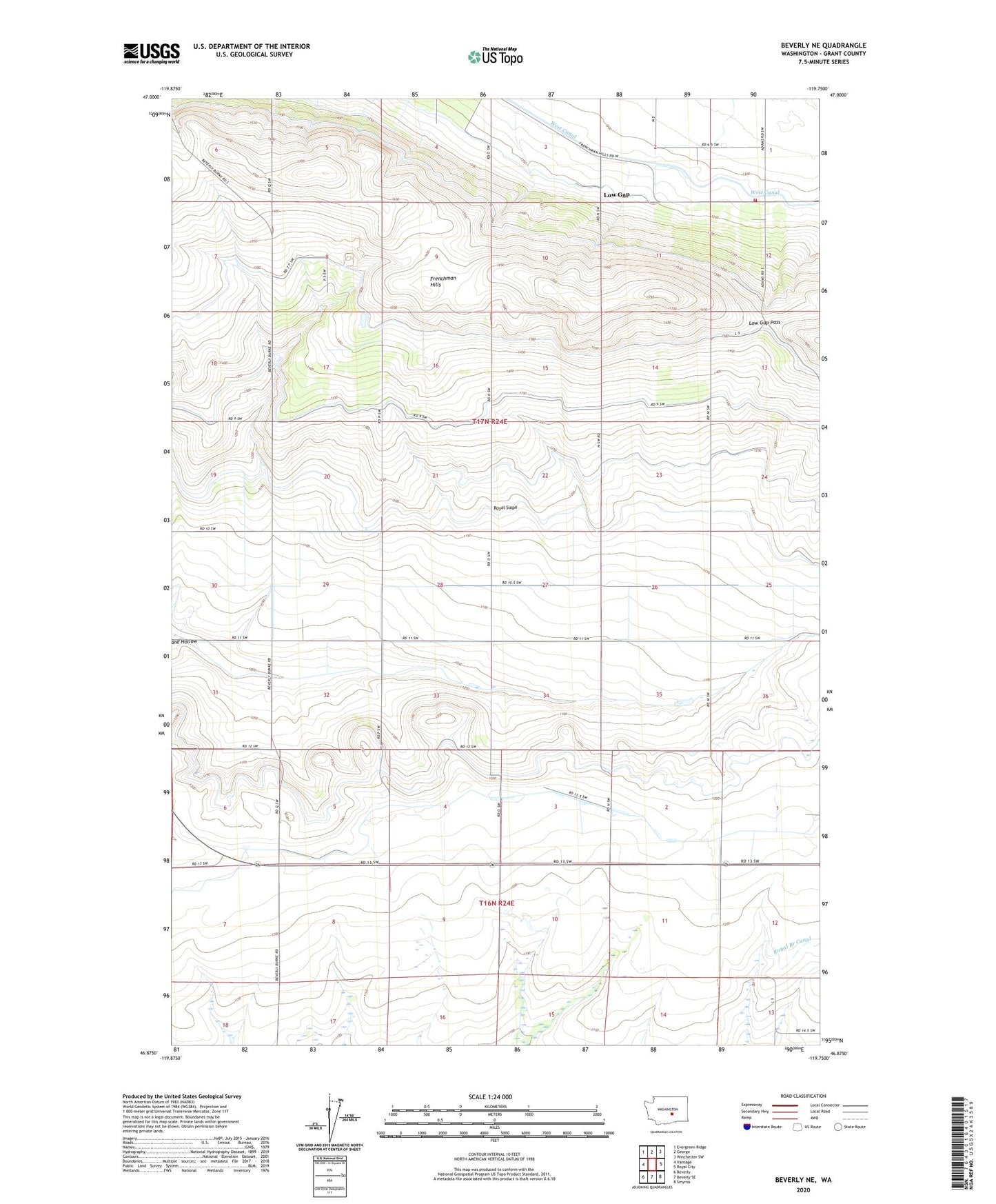
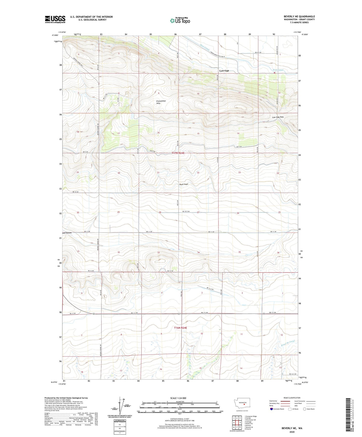
2020 topographic map quadrangle Beverly NE in the state of Washington. Scale: 1:24000. Based on the newly updated USGS 7.5' US Topo map series, this map is in the following counties: Grant. The map contains contour data, water features, and other items you are used to seeing on USGS maps, but also has updated roads and other features. This is the next generation of topographic maps. Printed on high-quality waterproof paper with UV fade-resistant inks.
Quads adjacent to this one:
West: Vantage
Northwest: Evergreen Ridge
North: George
Northeast: Winchester SW
East: Royal City
Southeast: Smyrna
South: Beverly SE
Southwest: Beverly
Contains the following named places: Frenchman Hills, Grant County Fire District 3 Station 34, Jericho Substation, Low Gap, Low Gap Pass, Sand Hollow Pumping Station