MyTopo
Cape Horn SE Washington US Topo Map
Couldn't load pickup availability
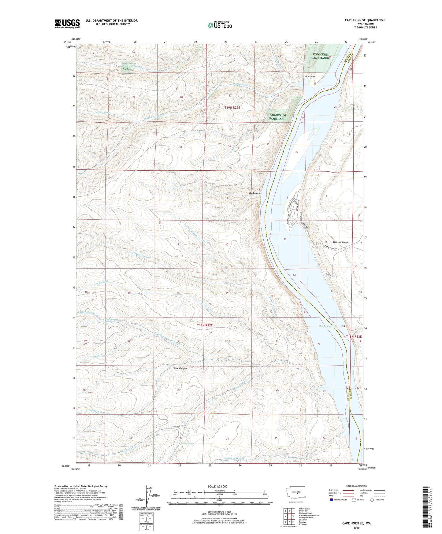
2020 topographic map quadrangle Cape Horn SE in the state of Washington. Scale: 1:24000. Based on the newly updated USGS 7.5' US Topo map series, this map is in the following counties: Kittitas, Grant. The map contains contour data, water features, and other items you are used to seeing on USGS maps, but also has updated roads and other features. This is the next generation of topographic maps. Printed on high-quality waterproof paper with UV fade-resistant inks.
Quads adjacent to this one:
West: Whiskey Dick Mountain
Northwest: Stray Gulch
North: West Bar
Northeast: Babcock Ridge
East: Evergreen Ridge
Southeast: Vantage
South: Ginkgo
Southwest: Boylston
Contains the following named places: Bohinkleman Spring, Box Canyon, Brushy Creek, Bryant Creek, Dry Gulch, Frenchman Coulee, Grant County Fire District 3 Station 36, Hartman Creek, Jackknife Creek, Kohler Spring, Little Bohinkleman Creek, North Fork Skookumchuck Creek, North Fork Whiskey Dick Creek, Patte Canyon, Perkins Fork, Quilomene Creek, Quilomene Creek Dam, Rollinger Creek, Scammon Landing, Schaake State Wildlife Recreation Area, Skookumchuck Creek, Spring Cayuse Creek, Sunland Estates, Sunland Estates Census Designated Place, Upper North Fork Skookumchuck Creek, Wanapum Lake, Whiskey Dick Creek