MyTopo
Ediz Hook Washington US Topo Map
Couldn't load pickup availability
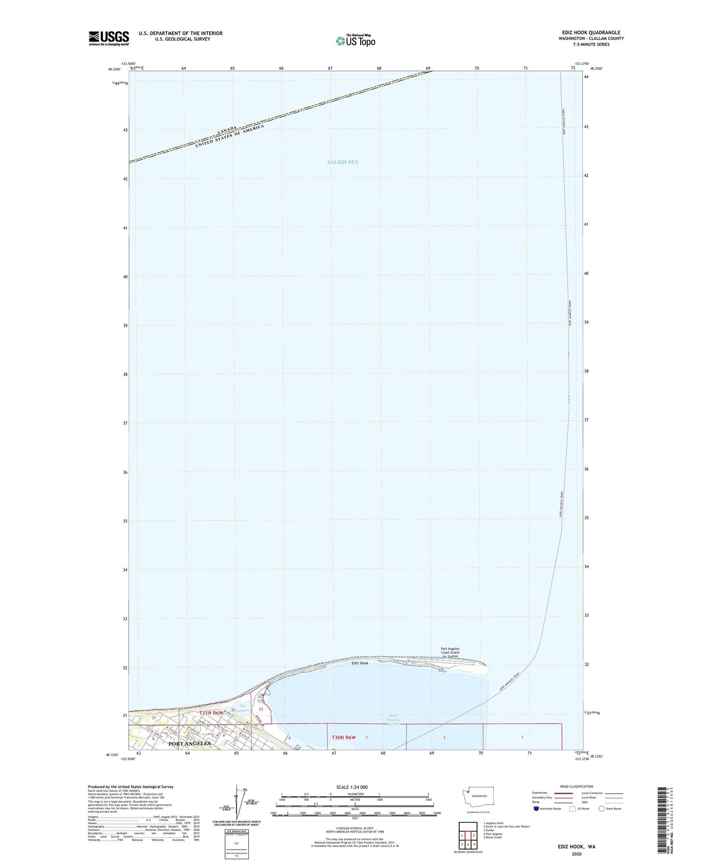
2023 topographic map quadrangle Ediz Hook in the state of Washington. Scale: 1:24000. Based on the newly updated USGS 7.5' US Topo map series, this map is in the following counties: Clallam. The map contains contour data, water features, and other items you are used to seeing on USGS maps, but also has updated roads and other features. This is the next generation of topographic maps. Printed on high-quality waterproof paper with UV fade-resistant inks.
Quads adjacent to this one:
West: Angeles Point
Southeast: Morse Creek
South: Port Angeles
Southwest: Elwha
This map covers the same area as the classic USGS quad with code o48123b4.
Contains the following named places: Coast Guard Air Station Port Angeles, Ediz Hook, Ediz Hook Lighthouse, Ediz Hook Reservation for Native Birds, Hamilton Elementary School, Port Angeles Boat Haven, Port Angeles Coast Guard Air Station, Port Angeles Harbor, The Lagoon