MyTopo
Fishtrap Lake Washington US Topo Map
Couldn't load pickup availability
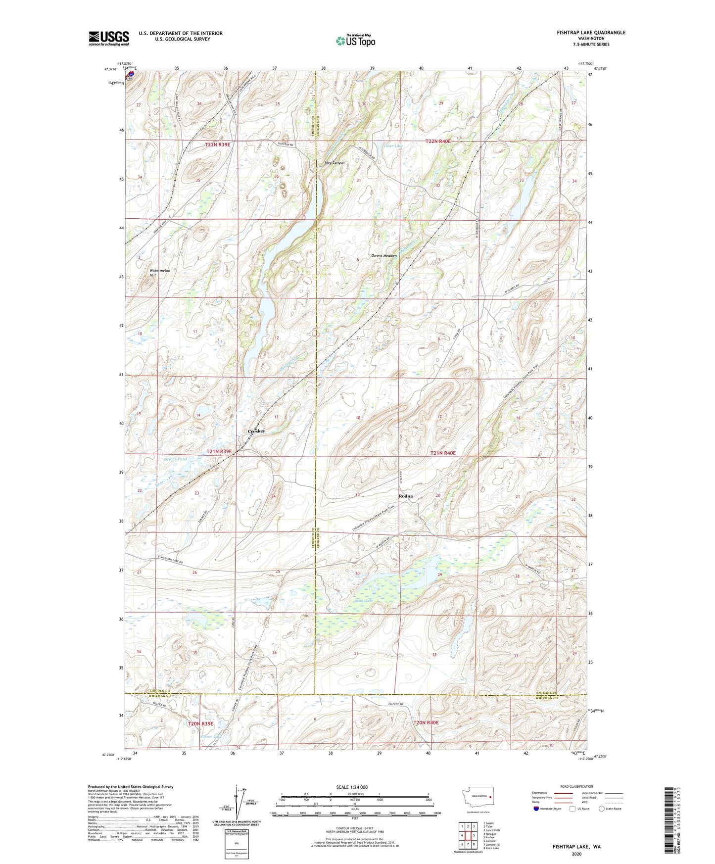
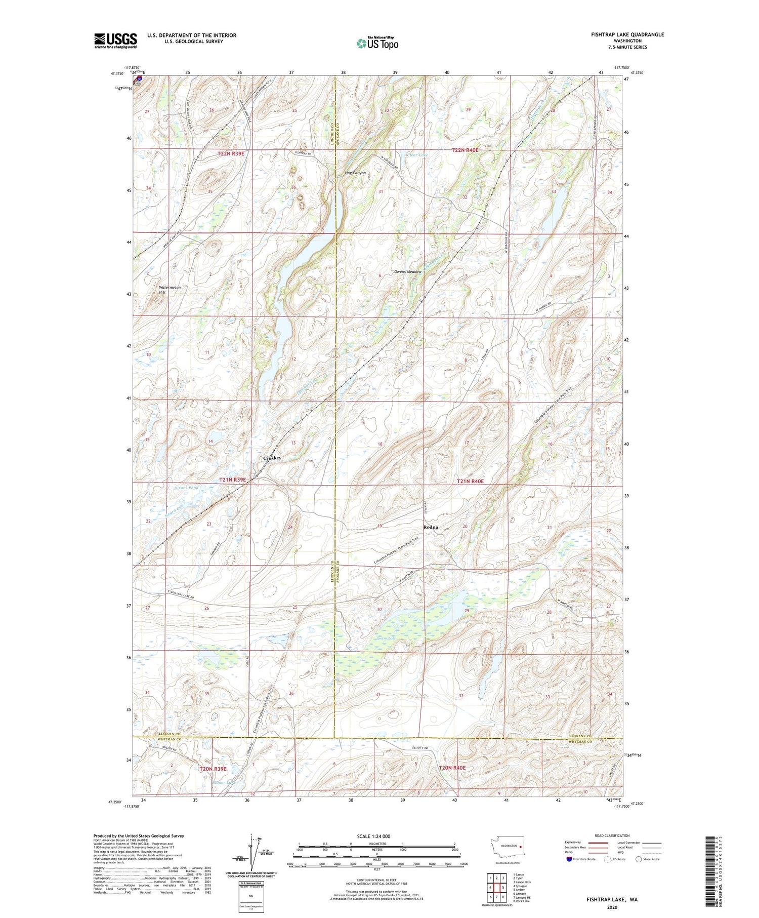
2020 topographic map quadrangle Fishtrap Lake in the state of Washington. Scale: 1:24000. Based on the newly updated USGS 7.5' US Topo map series, this map is in the following counties: Spokane, Lincoln, Whitman. The map contains contour data, water features, and other items you are used to seeing on USGS maps, but also has updated roads and other features. This is the next generation of topographic maps. Printed on high-quality waterproof paper with UV fade-resistant inks.
Quads adjacent to this one:
West: Sprague
Northwest: Sassin
North: Tyler
Northeast: Lance Hills
East: Amber
Southeast: Rock Lake
South: Lamont NE
Southwest: Lamont
Contains the following named places: Clear Lake, Croskey, Damage Creek, Dixons Pond, Downs Lake, Feustal Lake, Fishtrap Lake, Fishtrap Lake Dam, Hog Canyon, Hog Canyon Creek, Hog Lake Dam, Kline, Mason, Mason Lake, Owens Meadow, Rodna, Stoner, Watermelon Hill