MyTopo
Gloyd Washington US Topo Map
Couldn't load pickup availability
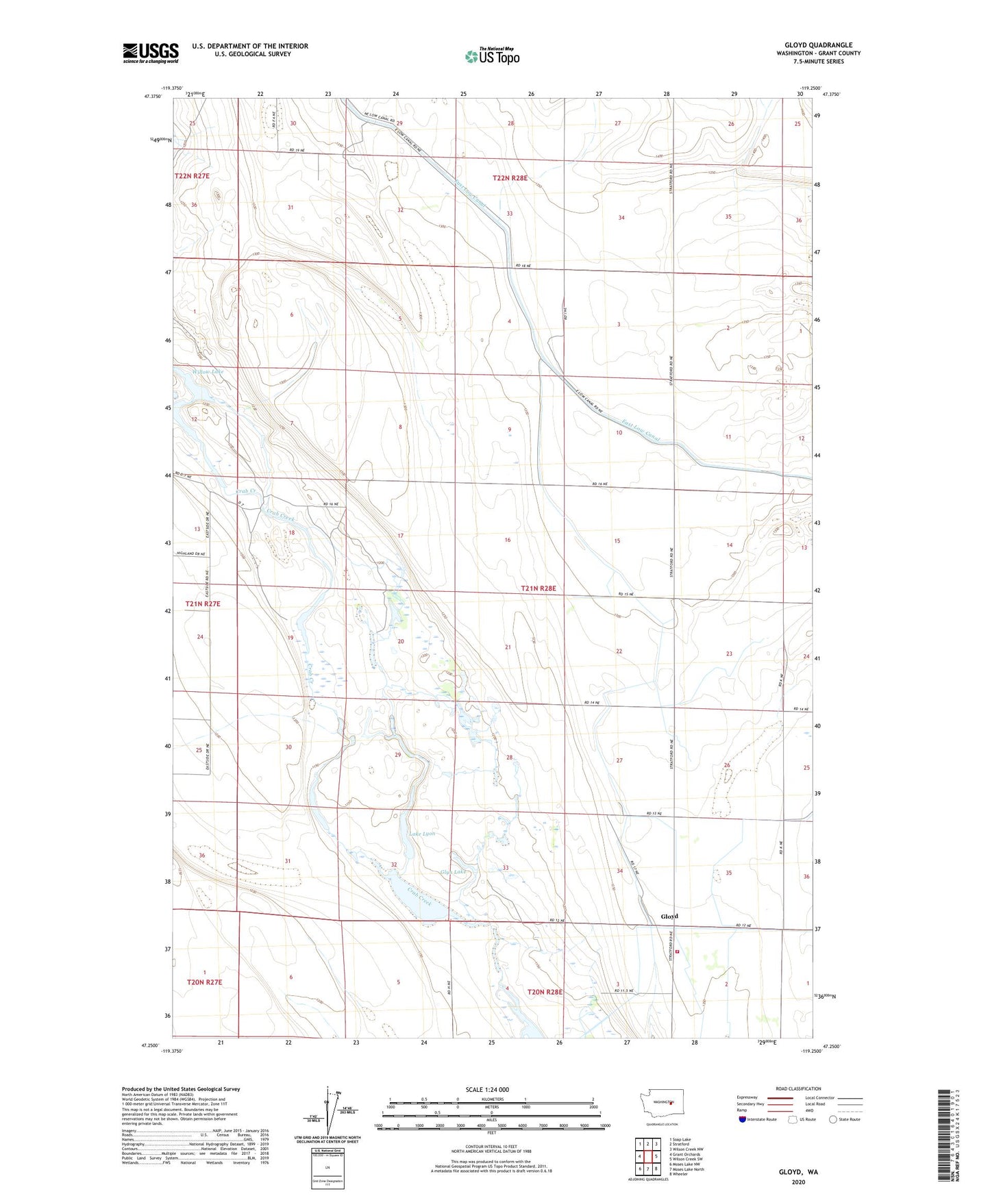
2023 topographic map quadrangle Gloyd in the state of Washington. Scale: 1:24000. Based on the newly updated USGS 7.5' US Topo map series, this map is in the following counties: Grant. The map contains contour data, water features, and other items you are used to seeing on USGS maps, but also has updated roads and other features. This is the next generation of topographic maps. Printed on high-quality waterproof paper with UV fade-resistant inks.
Quads adjacent to this one:
West: Grant Orchards
Northwest: Soap Lake
North: Stratford
Northeast: Wilson Creek NW
East: Wilson Creek SW
Southeast: Wheeler
South: Moses Lake North
Southwest: Moses Lake NW
This map covers the same area as the classic USGS quad with code o47119c3.
Contains the following named places: Gloyd, Gloyd Division, Glyn Dam, Glyn Lake, Grant County Fire District 5 Station 6, Lake Lyon, Lyon Lake Dam, North Columbia Basin State Wildlife Recreation Area - Gloyd Seeps Unit, South Willow Lake, Willow Lake