MyTopo
Helmer Mountain Washington US Topo Map
Couldn't load pickup availability
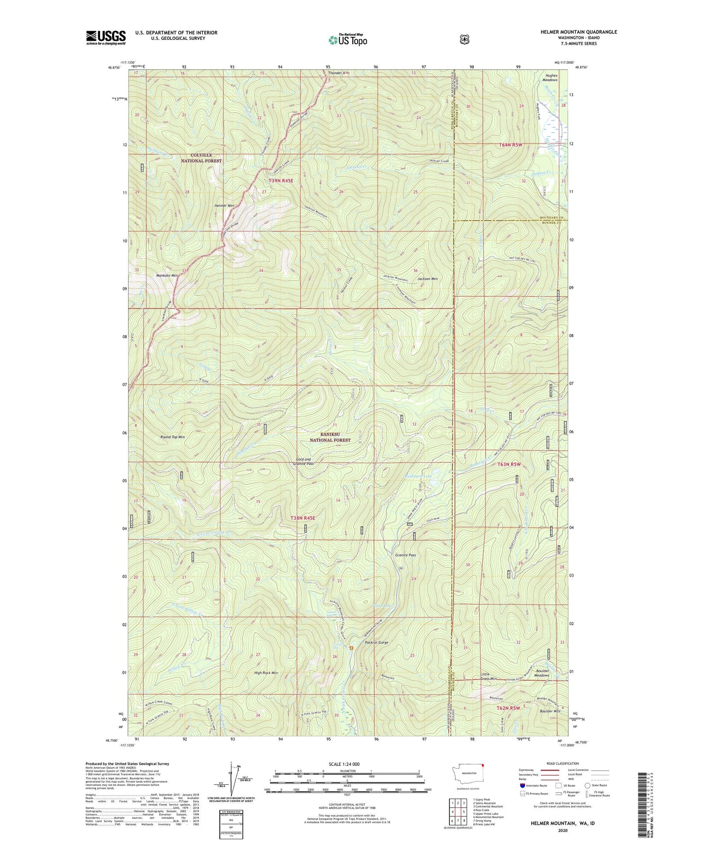
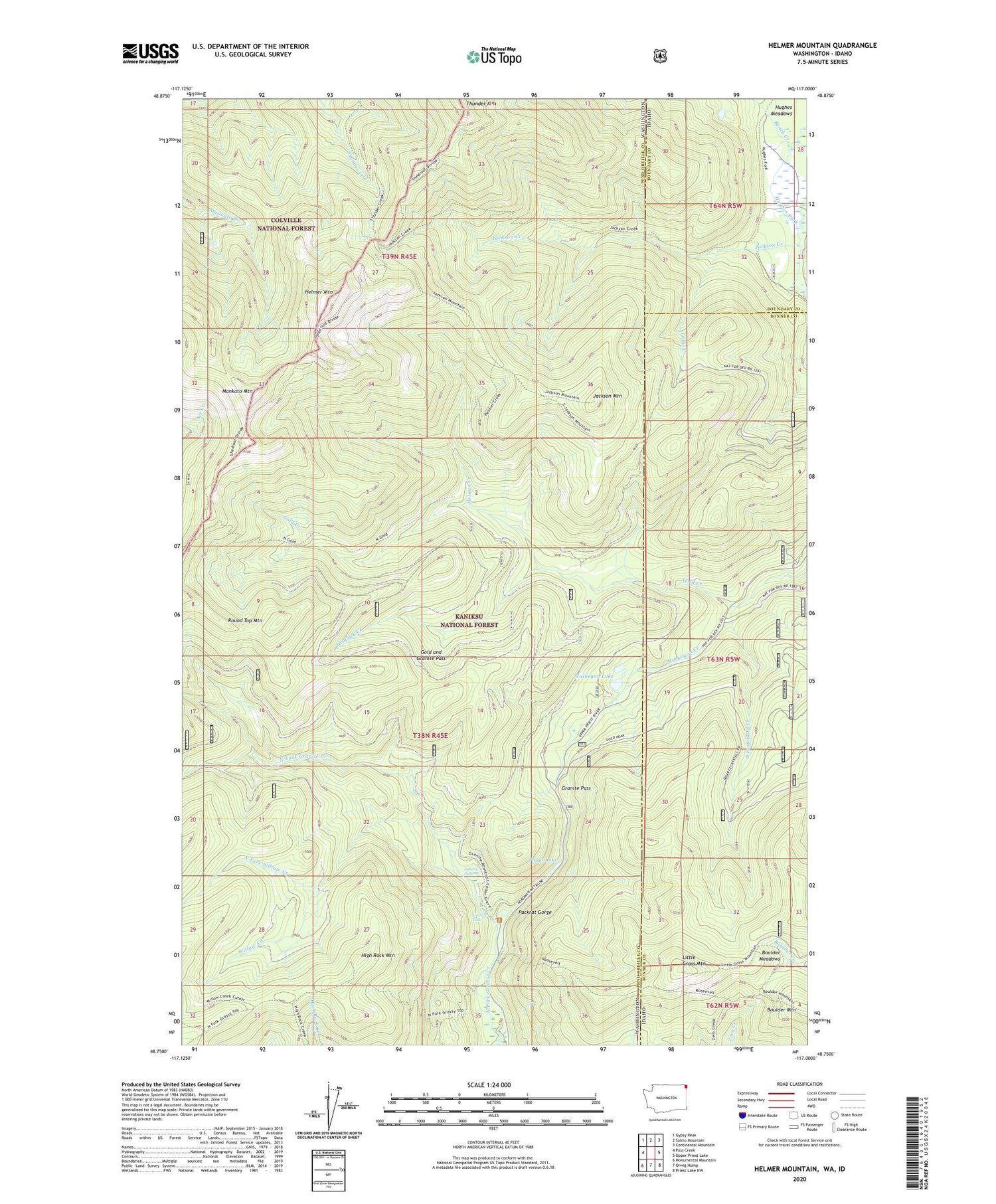
2020 topographic map quadrangle Helmer Mountain in the states of Washington, Idaho. Scale: 1:24000. Based on the newly updated USGS 7.5' US Topo map series, this map is in the following counties: Pend Oreille, Bonner, Boundary. The map contains contour data, water features, and other items you are used to seeing on USGS maps, but also has updated roads and other features. This is the next generation of topographic maps. Printed on high-quality waterproof paper with UV fade-resistant inks.
Quads adjacent to this one:
West: Pass Creek
Northwest: Gypsy Peak
North: Salmo Mountain
Northeast: Continental Mountain
East: Upper Priest Lake
Southeast: Priest Lake NW
South: Orwig Hump
Southwest: Monumental Mountain
Contains the following named places: Bench Creek, Boulder Meadows, Gold and Granite Pass, Gold Creek, Granite Falls, Granite Pass, Helmer Creek, Helmer Mountain, Hemlock Creek, High Rock Mountain, Hughes Meadows, Hughes Meadows Fire Station, Jackson Creek, Jackson Mountain, LaSota Falls, Ledge Creek, Little Grass Mountain, Mankato Mountain, Muskegon Creek, Muskegon Lake, North Fork Willow Creek, Packrat Gorge, Playa Lake, Roosevelt Grove of Ancient Cedars, South Fork Gold Creek, Stagger Inn Campground, Willow Creek