MyTopo
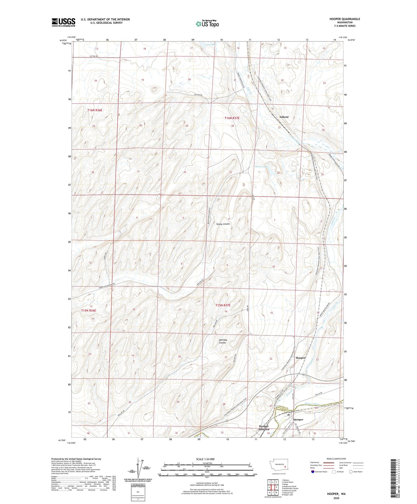
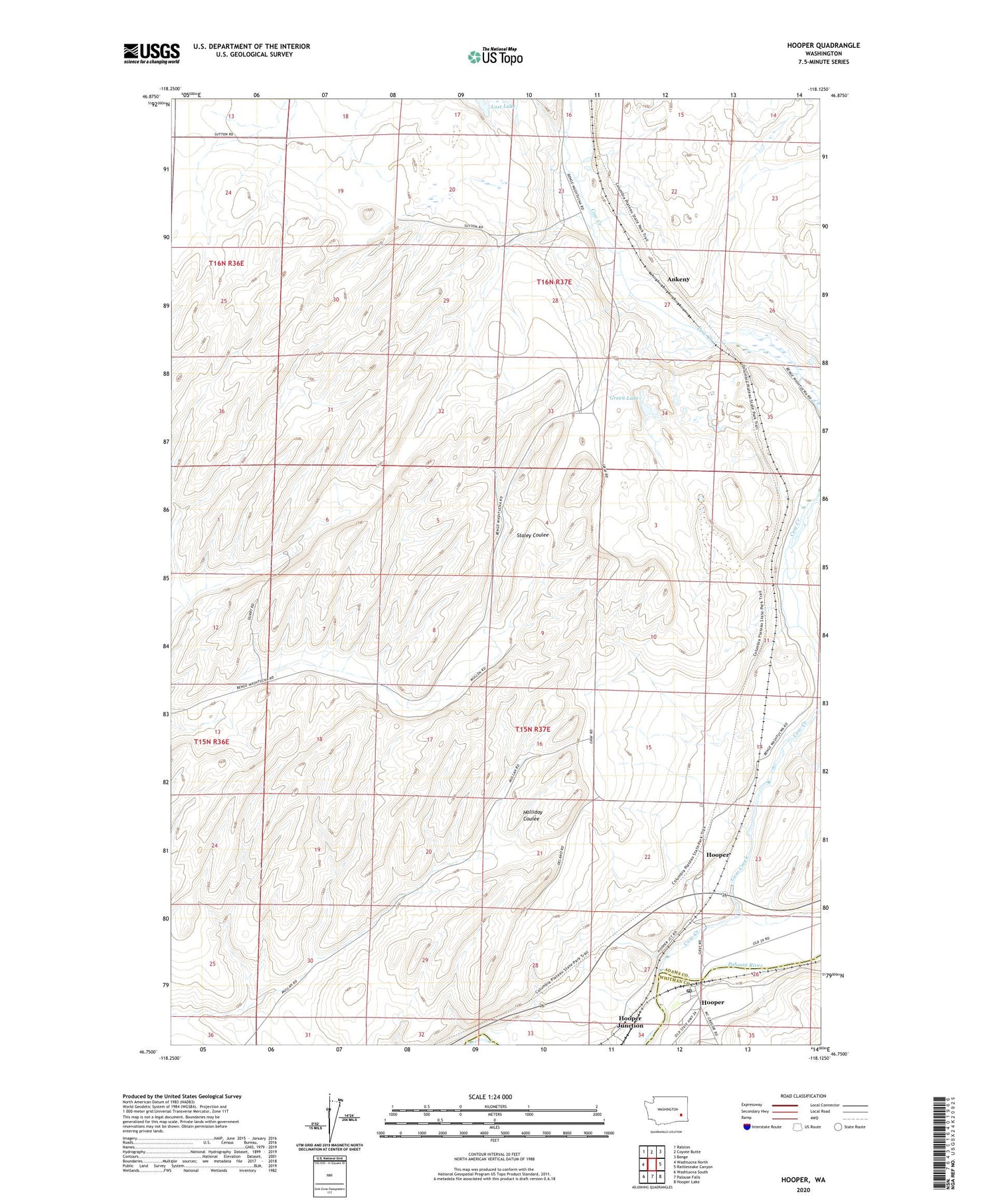
Hooper Washington US Topo Map
Couldn't load pickup availability
2020 topographic map quadrangle Hooper in the state of Washington. Scale: 1:24000. Based on the newly updated USGS 7.5' US Topo map series, this map is in the following counties: Adams, Whitman. The map contains contour data, water features, and other items you are used to seeing on USGS maps, but also has updated roads and other features. This is the next generation of topographic maps. Printed on high-quality waterproof paper with UV fade-resistant inks.
Quads adjacent to this one:
West: Washtucna North
Northwest: Ralston
North: Coyote Butte
Northeast: Benge
East: Rattlesnake Canyon
Southeast: Hooper Lake
South: Palouse Falls
Southwest: Washtucna South
Contains the following named places: Ankeny, Bar U Ranch, Cow Creek, Gray Ranch Airport, Green Lake, Hooper, Hooper Junction, Hooper Post Office, Lost Lake