
MyTopo
Lost Horse Plateau Washington US Topo Map
Couldn't load pickup availability
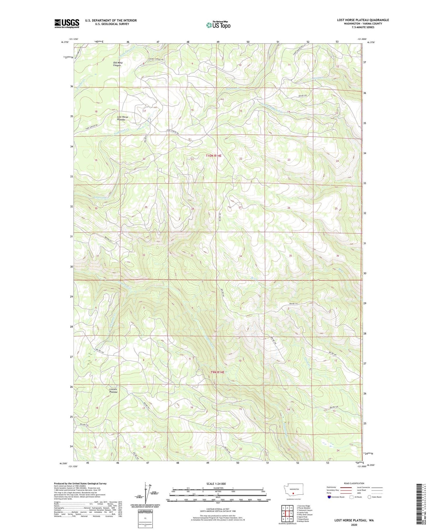
2020 topographic map quadrangle Lost Horse Plateau in the state of Washington. Scale: 1:24000. Based on the newly updated USGS 7.5' US Topo map series, this map is in the following counties: Yakima. The map contains contour data, water features, and other items you are used to seeing on USGS maps, but also has updated roads and other features. This is the next generation of topographic maps. Printed on high-quality waterproof paper with UV fade-resistant inks.
Quads adjacent to this one:
West: Castile Falls
Northwest: Fairview Ridge
North: Piscoe Meadow
Northeast: Yesmowit Canyon
East: Willy Dick Canyon
Southeast: McKays Butte
South: Poland Butte
Southwest: Signal Peak
Contains the following named places: Lost Horse Plateau, O'Connor Creek, Olney Corral


