MyTopo
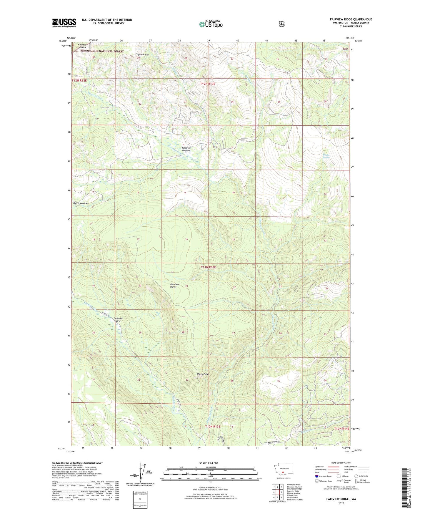
Fairview Ridge Washington US Topo Map
Couldn't load pickup availability
Also explore the Fairview Ridge Forest Service Topo of this same quad for updated USFS data
2023 topographic map quadrangle Fairview Ridge in the state of Washington. Scale: 1:24000. Based on the newly updated USGS 7.5' US Topo map series, this map is in the following counties: Yakima. The map contains contour data, water features, and other items you are used to seeing on USGS maps, but also has updated roads and other features. This is the next generation of topographic maps. Printed on high-quality waterproof paper with UV fade-resistant inks.
Quads adjacent to this one:
West: Jennies Butte
Northwest: Pinegrass Ridge
North: Darland Mountain
Northeast: Foundation Ridge
East: Piscoe Meadow
Southeast: Lost Horse Plateau
South: Castile Falls
Southwest: Windy Point
This map covers the same area as the classic USGS quad with code o46121d2.
Contains the following named places: Caldwell Prairie, Coyote Creek, Coyote Rocks, Cuitin Creek, Cultus Hole, Fairview Ridge, Kesslers Ranch, Klickitat Camp, Klickitat Meadow, Maiden Springs, Sheep Point