MyTopo
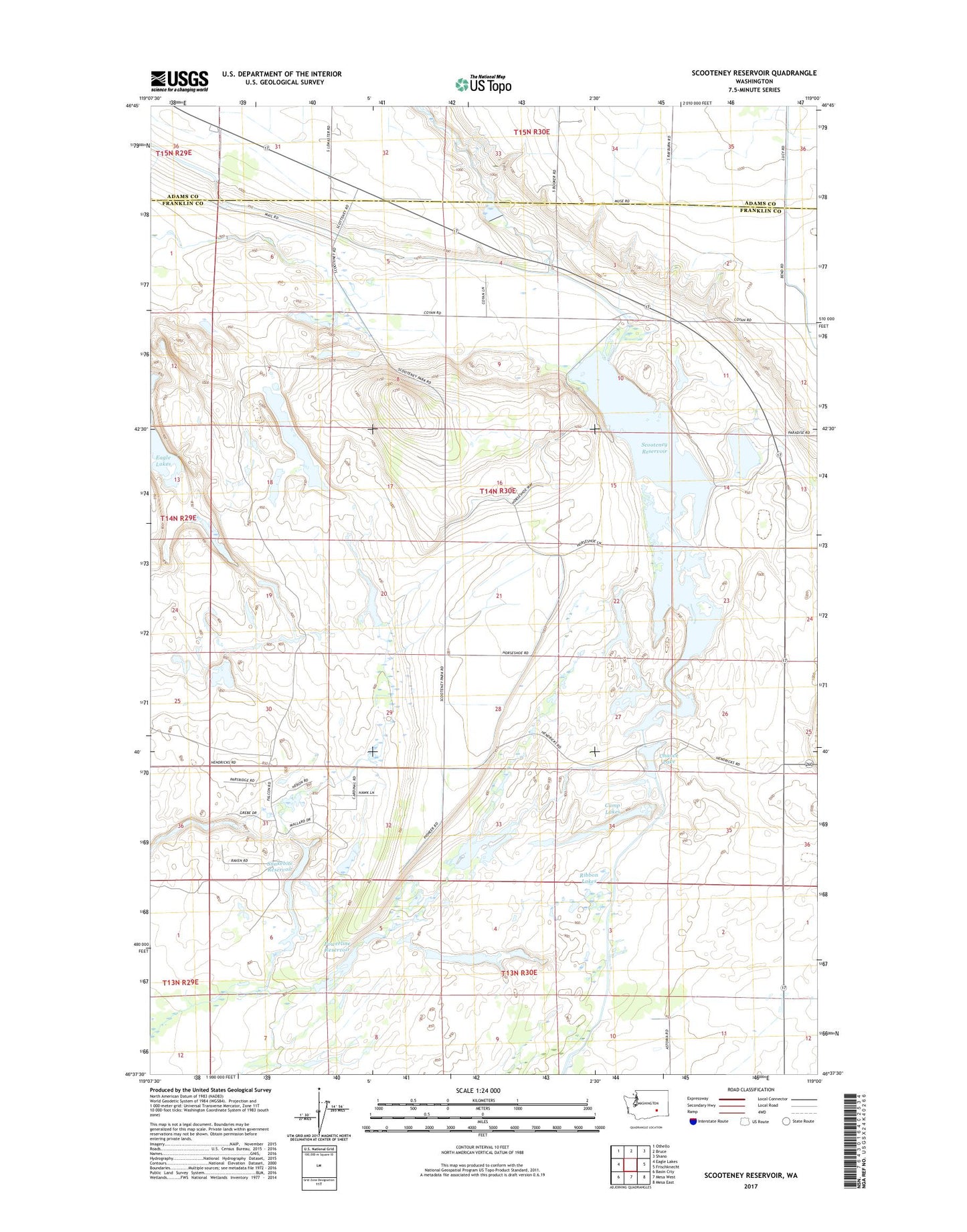
Scooteney Reservoir Washington US Topo Map
Couldn't load pickup availability
2020 topographic map quadrangle Scooteney Reservoir in the state of Washington. Scale: 1:24000. Based on the newly updated USGS 7.5' US Topo map series, this map is in the following counties: Franklin, Adams. The map contains contour data, water features, and other items you are used to seeing on USGS maps, but also has updated roads and other features. This is the next generation of topographic maps. Printed on high-quality waterproof paper with UV fade-resistant inks.
Quads adjacent to this one:
West: Eagle Lakes
Northwest: Othello
North: Bruce
Northeast: Shano
East: Frischknecht
Southeast: Mesa East
South: Mesa West
Southwest: Basin City
Contains the following named places: Bernsen Dam, Camp Lakes, Chance Lake, Connell Division, North Scooteney Dike Dam, Potholes Canal, Powerline Reservoir, Ribbon Lakes, Russel D Smith Powerplant, Scooteney Park Recreation Area, Scooteney Reservoir, Scooteney Substation, Snakebite Reservoir, Snakebite Reservoir Dam