MyTopo
Snively Basin Washington US Topo Map
Couldn't load pickup availability
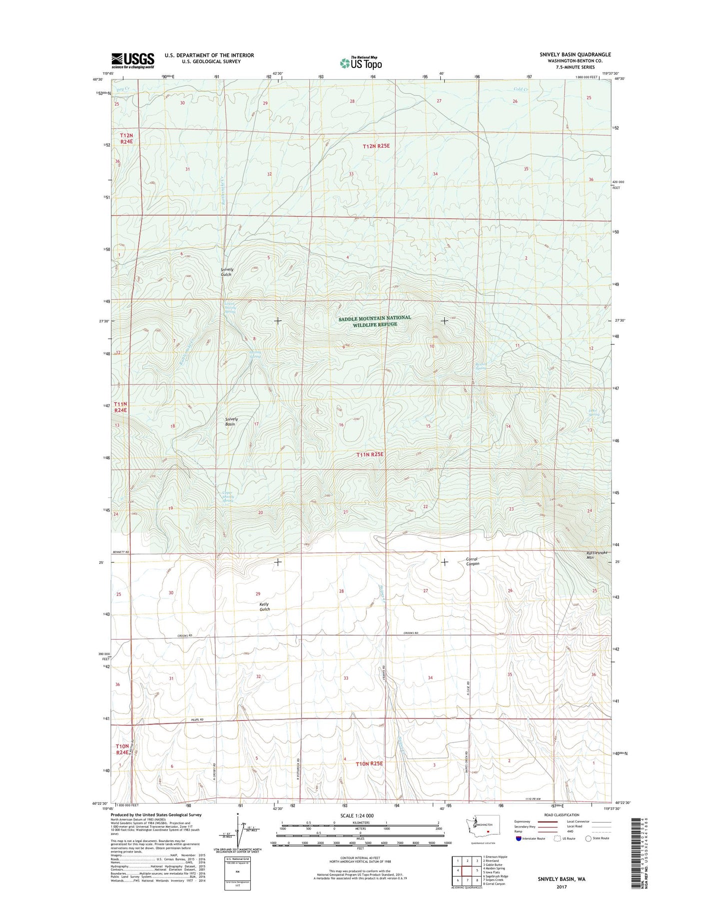
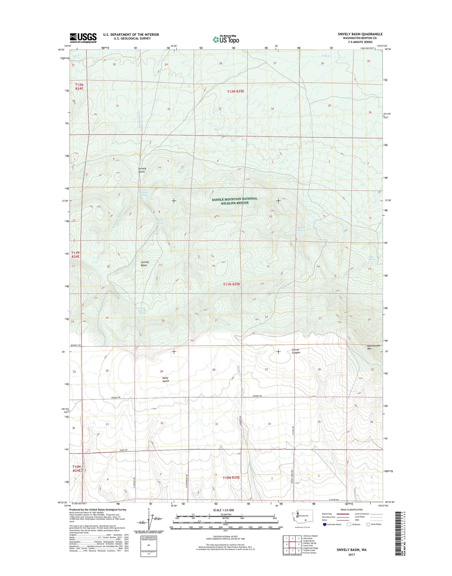
2020 topographic map quadrangle Snively Basin in the state of Washington. Scale: 1:24000. Based on the newly updated USGS 7.5' US Topo map series, this map is in the following counties: Benton. The map contains contour data, water features, and other items you are used to seeing on USGS maps, but also has updated roads and other features. This is the next generation of topographic maps. Printed on high-quality waterproof paper with UV fade-resistant inks.
Quads adjacent to this one:
West: Maiden Spring
Northwest: Emerson Nipple
North: Riverland
Northeast: Gable Butte
East: Iowa Flats
Southeast: Corral Canyon
South: Snipes Creek
Southwest: Sagebrush Ridge
Contains the following named places: Benson Ranch, Benson Spring, Doke Spring, Lower Snively Spring, Snively Basin, Snively Gulch, Snively Ranch, Snively Spring, Upper Snively Spring, ZIP Code: 98944