MyTopo
Iowa Flats Washington US Topo Map
Couldn't load pickup availability
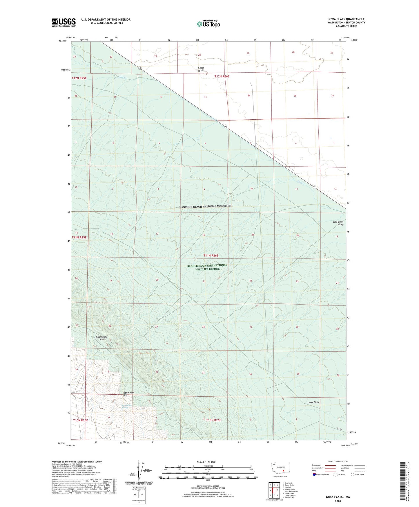
2023 topographic map quadrangle Iowa Flats in the state of Washington. Scale: 1:24000. Based on the newly updated USGS 7.5' US Topo map series, this map is in the following counties: Benton. The map contains contour data, water features, and other items you are used to seeing on USGS maps, but also has updated roads and other features. This is the next generation of topographic maps. Printed on high-quality waterproof paper with UV fade-resistant inks.
Quads adjacent to this one:
West: Snively Basin
Northwest: Riverland
North: Gable Butte
Northeast: Hanford
East: Horn Rapids Dam
Southeast: Benton City
South: Corral Canyon
Southwest: Snipes Creek
This map covers the same area as the classic USGS quad with code o46119d5.
Contains the following named places: Goose Egg Hill, Hanford Reach National Monument, Iowa Flats, Rattlesnake Hills Research Natural Area, Rattlesnake Mountain, Sam White Spring