MyTopo
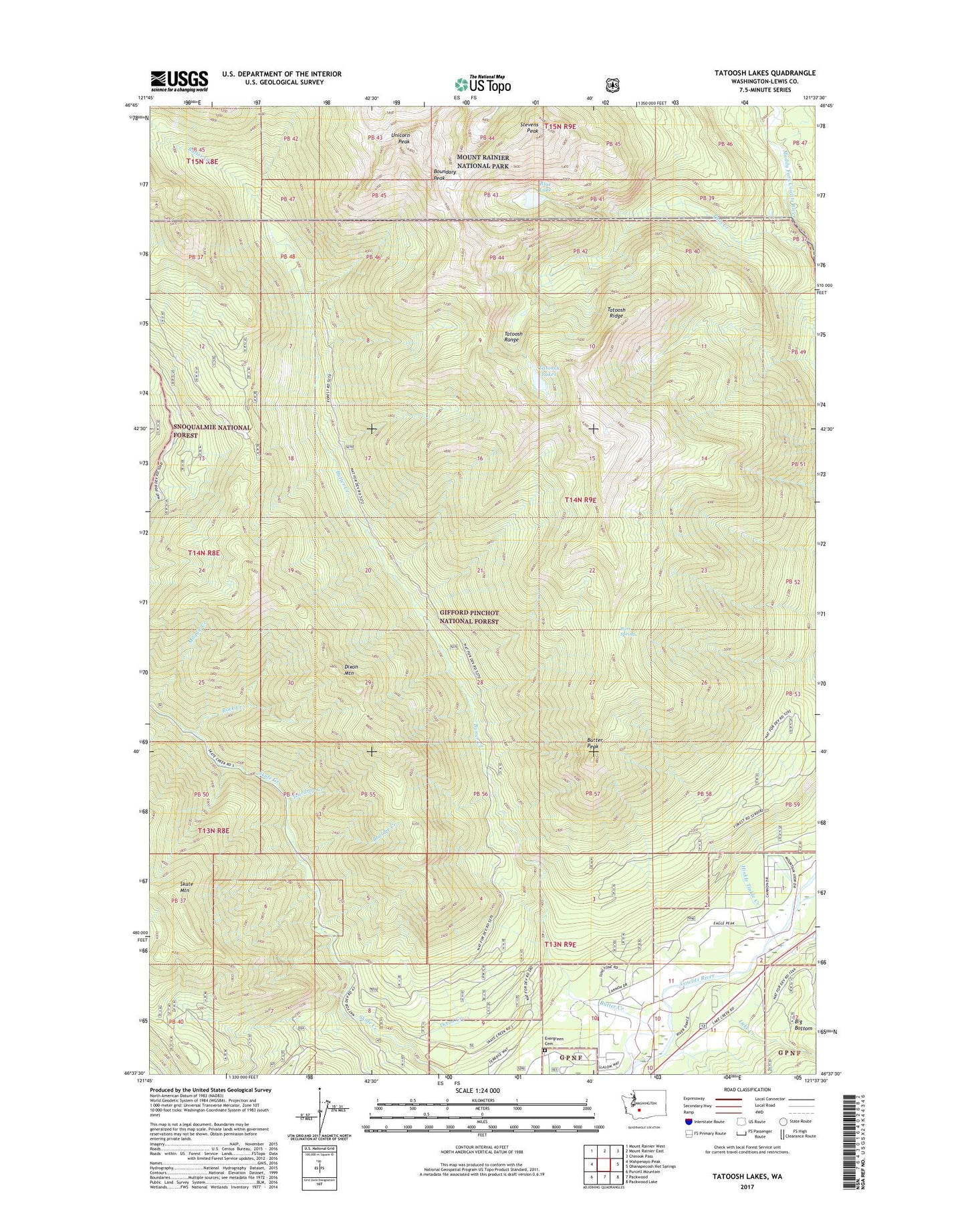
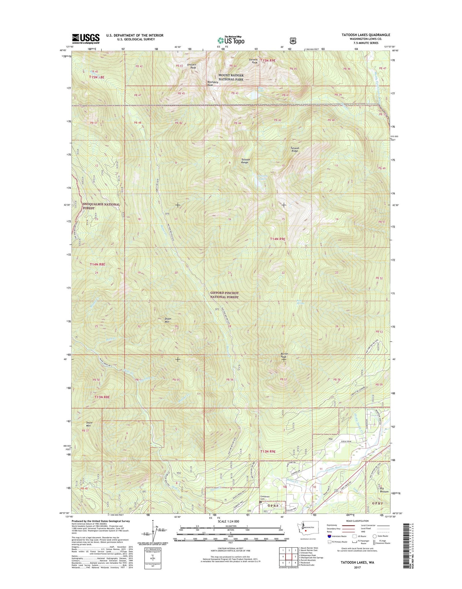
Tatoosh Lakes Washington US Topo Map
Couldn't load pickup availability
2020 topographic map quadrangle Tatoosh Lakes in the state of Washington. Scale: 1:24000. Based on the newly updated USGS 7.5' US Topo map series, this map is in the following counties: Lewis. The map contains contour data, water features, and other items you are used to seeing on USGS maps, but also has updated roads and other features. This is the next generation of topographic maps. Printed on high-quality waterproof paper with UV fade-resistant inks.
Quads adjacent to this one:
West: Wahpenayo Peak
Northwest: Mount Rainier West
North: Mount Rainier East
Northeast: Chinook Pass
East: Ohanapecosh Hot Springs
Southeast: Packwood Lake
South: Packwood
Southwest: Purcell Mountain
Contains the following named places: Blue Lake, Boulder Creek, Boundary Peak, Bum Springs, Butter Creek, Butter Creek Research Natural Area, Butter Peak, Dixon Creek, Dixon Mountain, Evergreen Cemetery, Hinkle Tinkle Creek, Hinkle Tinkle Trail, Lake Creek, Lewis County Fire District 10 Station 2, Maggie Creek, Rock Creek, Stevens Creek, Stevens Peak, Taos Creek, Tatoosh Lakes, Tatoosh Lookout, Tatoosh Range, Tatoosh Ridge, Tatoosh Ridge Lookout, Tatoosh Trail, Tatoosh Trailhead, Tatoosh Wilderness, Teardrop Creek, The Burn, Unicorn Glacier, Unicorn Peak