MyTopo
Weber Washington US Topo Map
Couldn't load pickup availability
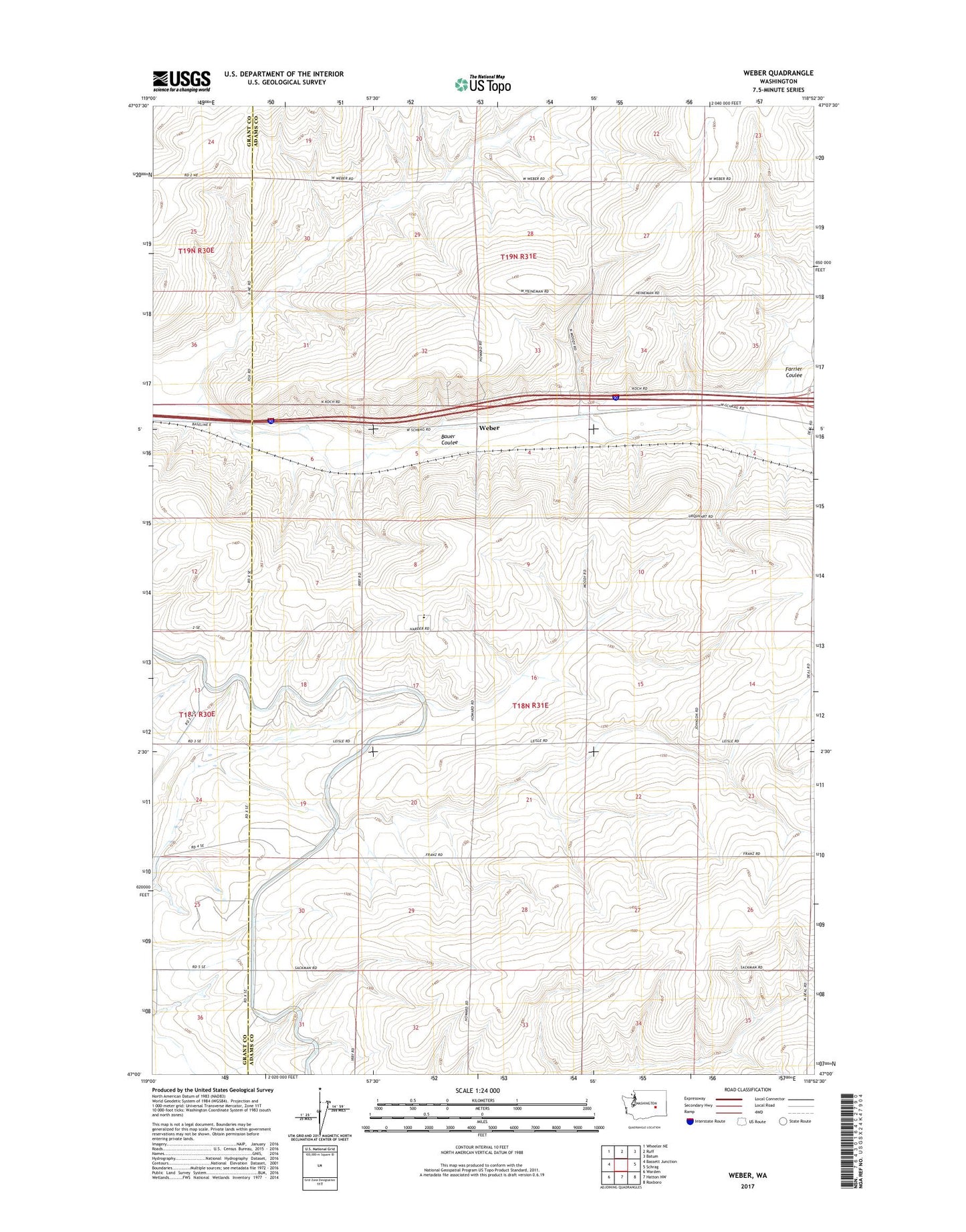
2023 topographic map quadrangle Weber in the state of Washington. Scale: 1:24000. Based on the newly updated USGS 7.5' US Topo map series, this map is in the following counties: Adams, Grant. The map contains contour data, water features, and other items you are used to seeing on USGS maps, but also has updated roads and other features. This is the next generation of topographic maps. Printed on high-quality waterproof paper with UV fade-resistant inks.
Quads adjacent to this one:
West: Bassett Junction
Northwest: Wheeler NE
North: Ruff
Northeast: Batum
East: Schrag
Southeast: Roxboro
South: Hatton NW
Southwest: Warden
This map covers the same area as the classic USGS quad with code o47118a8.
Contains the following named places: Bauer Coulee, Country Morning Dairy Farms, Farrier Coulee, Schaeffer Spur, Warden Hutterian Brethren, Warden Hutterian Brethren School, Weber