MyTopo
Folsom West Virginia US Topo Map
Couldn't load pickup availability
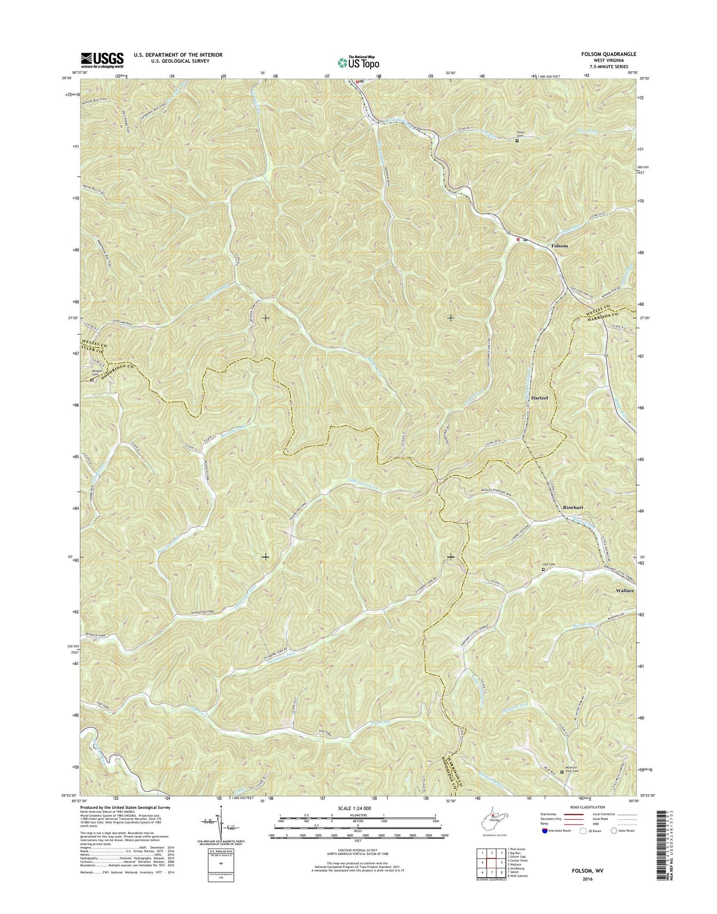
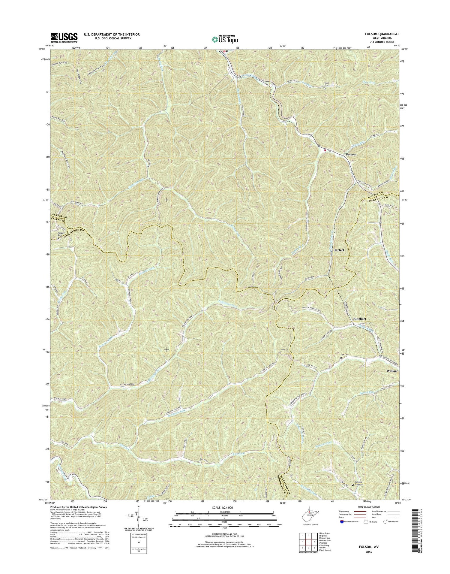
2019 topographic map quadrangle Folsom in the state of West Virginia. Scale: 1:24000. Based on the newly updated USGS 7.5' US Topo map series, this map is in the following counties: Wetzel, Doddridge, Harrison, Tyler. The map contains contour data, water features, and other items you are used to seeing on USGS maps, but also has updated roads and other features. This is the next generation of topographic maps. Printed on high-quality waterproof paper with UV fade-resistant inks.
Quads adjacent to this one:
West: Center Point
Northwest: Pine Grove
North: Big Run
Northeast: Glover Gap
East: Wallace
Southeast: Wolf Summit
South: Salem
Southwest: Smithburg
Contains the following named places: Arches School, Beverlin Fork, Dye Cemetery, Fairview Baptist Church, Folsom, Folsom Post Office, Folsom School, Folsom Volunteer Fire Department, Garrett School, Hartzel, Lower Beverlin Fork School, Lower Sycamore School, Manion Run, McIntire Fork Cemetery, McIntire Fork School, Morgan Cemetery, Morgan Run, Mount Zion Church, Mudlick Run, Pike Fork Church, Pike Fork School, Pisgah Church, Price Run, Rinehart, Rinehart Evangelical United Brethren Church, Sams Run, Slabcamp Run, Smithfield, Smithfield Post Office, Smithfield Volunteer Fire Department, Stout Run, Stout Run Cemetery, Sycamore Fork, Talkington Fork School, Town of Smithfield, Trader Fork, Tunnel School, Union Mission Church, Upper Beverlin Fork School, Upper Franks Run School, Upper Sycamore School, ZIP Codes: 26339, 26348, 26448