
MyTopo
Big Briens Lake Wisconsin US Topo Map
Couldn't load pickup availability
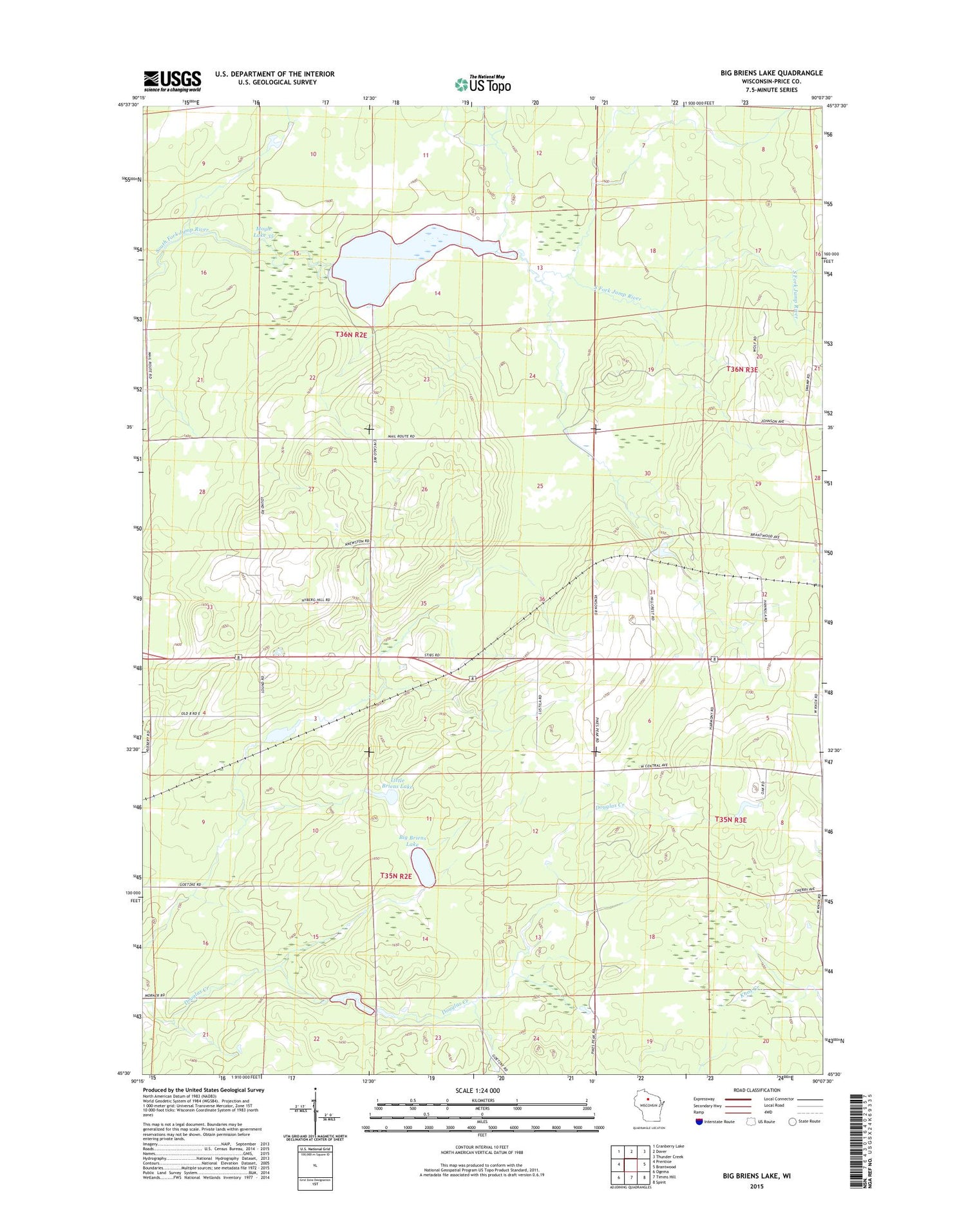
2018 topographic map quadrangle Big Briens Lake in the state of Wisconsin. Scale: 1:24000. Based on the newly updated USGS 7.5' US Topo map series, this map is in the following counties: Price. The map contains contour data, water features, and other items you are used to seeing on USGS maps, but also has updated roads and other features. This is the next generation of topographic maps. Printed on high-quality waterproof paper with UV fade-resistant inks.
Quads adjacent to this one:
West: Prentice
Northwest: Cranberry Lake
North: Dover
Northeast: Thunder Creek
East: Brantwood
Southeast: Spirit
South: Timms Hill
Southwest: Ogema
Contains the following named places: Big Briens Lake, Little Briens Lake, Lone Corner School, Moyle 2WP978 Dam, Moyle Lake 35, ZIP Code: 54513


