MyTopo
Big Falls Dam Wisconsin US Topo Map
Couldn't load pickup availability
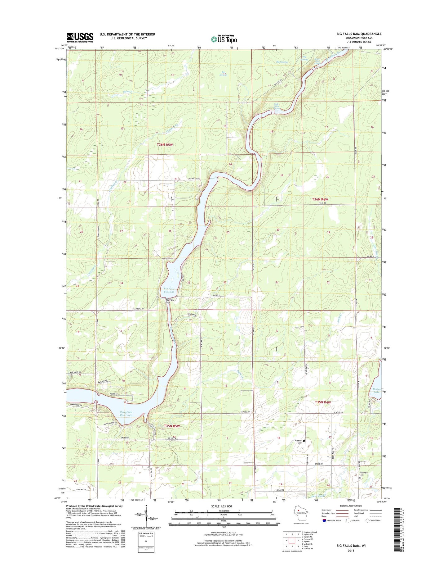
2018 topographic map quadrangle Big Falls Dam in the state of Wisconsin. Scale: 1:24000. Based on the newly updated USGS 7.5' US Topo map series, this map is in the following counties: Rusk. The map contains contour data, water features, and other items you are used to seeing on USGS maps, but also has updated roads and other features. This is the next generation of topographic maps. Printed on high-quality waterproof paper with UV fade-resistant inks.
Quads adjacent to this one:
West: Exeland SE
Northwest: Hogsback Creek
North: Ingram NW
Northeast: Ingram NE
East: Ingram
Southeast: Sheldon NE
South: Tony
Southwest: Ladysmith
Contains the following named places: Beaver Dam Rapids, Big Falls Dam, Big Falls Flowage, Big Swamp, Campbell Dam, Dairyland Reservoir, Glenview Cemetery, Josie Creek, Josie Creek County Park, Little Cedar Rapids, McGee Lake, Rusk Camp, Swedish Cemetery, Town of Big Falls, Town of Dewey, Town of True