MyTopo
Chambers Island Wisconsin US Topo Map
Couldn't load pickup availability
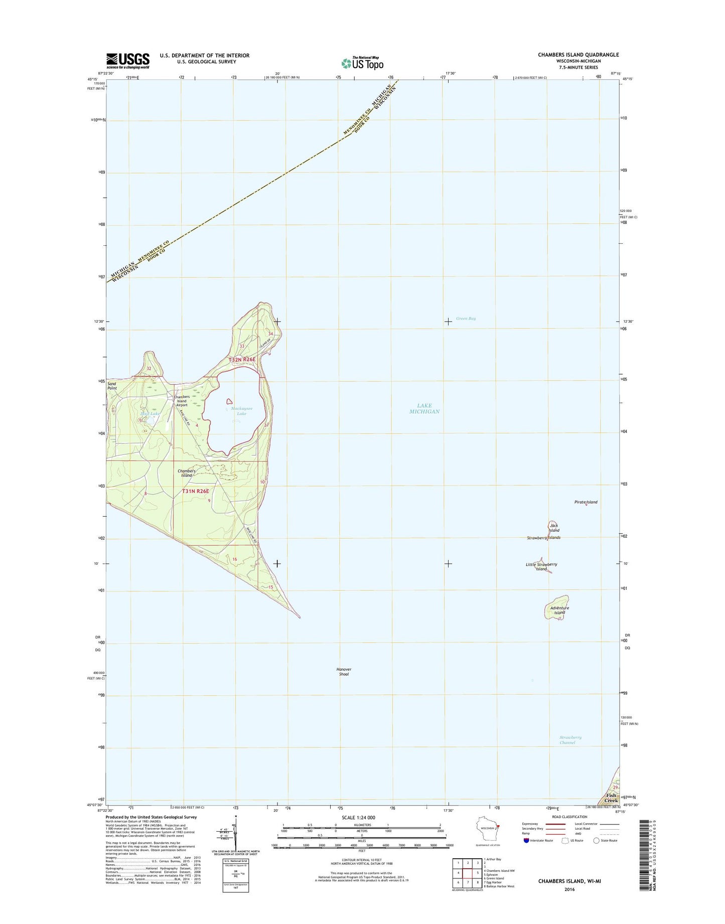
2018 topographic map quadrangle Chambers Island in the state of Wisconsin. Scale: 1:24000. Based on the newly updated USGS 7.5' US Topo map series, this map is in the following counties: Door, Menominee. The map contains contour data, water features, and other items you are used to seeing on USGS maps, but also has updated roads and other features. This is the next generation of topographic maps. Printed on high-quality waterproof paper with UV fade-resistant inks.
Quads adjacent to this one:
West: Chambers Island NW
Northwest: Arthur Bay
East: Ephraim
Southeast: Baileys Harbor West
South: Egg Harbor
Southwest: Green Island
Contains the following named places: Adventure Island, Chambers Island, Chambers Island Airport, Chambers Island Lighthouse, Diocese Retreat, Gilbraltar Township Park, Hanover Shoal, Jack Island, Little Strawberry Island, Mackaysee Lake, Mud Lake, Pirate Island, Strawberry Channel, Strawberry Islands, Sunset Beach Park, Town of Gibraltar