MyTopo
Coon Valley Wisconsin US Topo Map
Couldn't load pickup availability
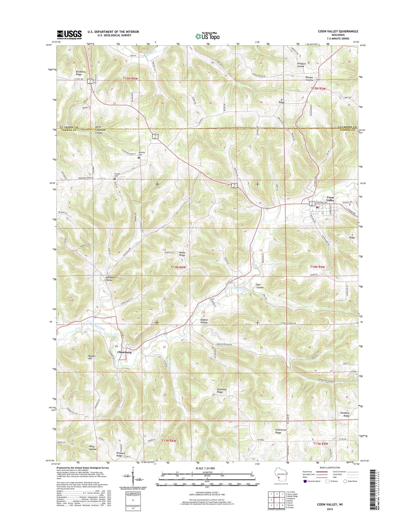
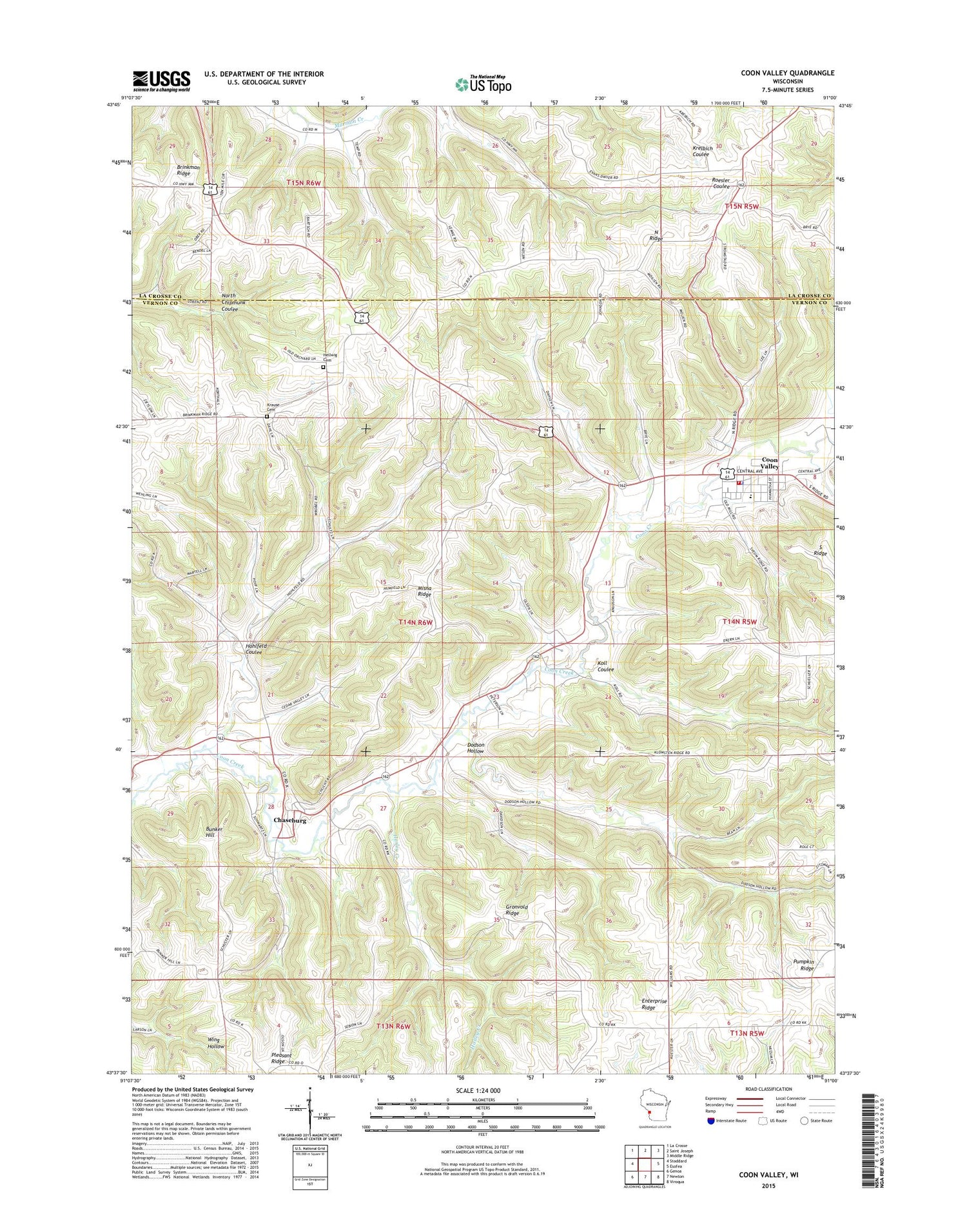
2018 topographic map quadrangle Coon Valley in the state of Wisconsin. Scale: 1:24000. Based on the newly updated USGS 7.5' US Topo map series, this map is in the following counties: Vernon, La Crosse. The map contains contour data, water features, and other items you are used to seeing on USGS maps, but also has updated roads and other features. This is the next generation of topographic maps. Printed on high-quality waterproof paper with UV fade-resistant inks.
Quads adjacent to this one:
West: Stoddard
Northwest: La Crosse
North: Saint Joseph
Northeast: Middle Ridge
East: Esofea
Southeast: Viroqua
South: Newton
Southwest: Genoa
Contains the following named places: Brinkman Ridge, Brinkman Ridge School, Brown School, Bunker Hill, Chaseburg, Chaseburg Middle School, Chaseburg Post Office, Cliffside School, Coon Valley, Coon Valley Elementary School, Coon Valley Fire Department, Coon Valley Police Department, Coon Valley Post Office, Dodson Hollow, Enterprise Ridge, Gronvold Ridge, Hasley Creek, Hellwig Cemetery, Hohlfeld Coulee, Koll Coulee, Krause Cemetery, Linrud School, Middle Coon Valley Church, Misna Ridge, North Ridge, North Ridge School, Ober Quarry, Onward School, Pumpkin Ridge, Town of Hamburg, Village of Chaseburg, Village of Coon Valley, ZIP Codes: 54621, 54623