
MyTopo
Dyckesville Wisconsin US Topo Map
Couldn't load pickup availability
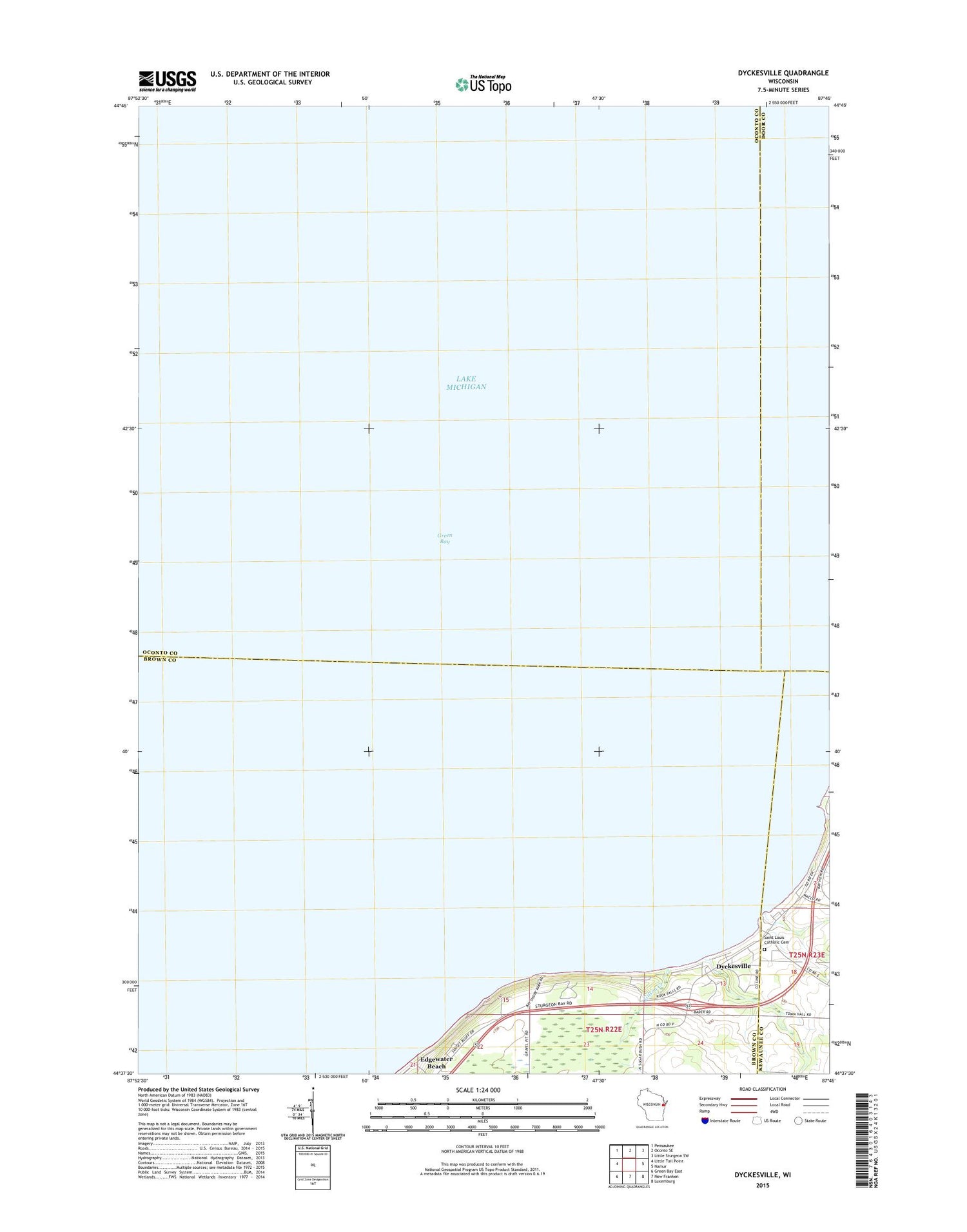
2018 topographic map quadrangle Dyckesville in the state of Wisconsin. Scale: 1:24000. Based on the newly updated USGS 7.5' US Topo map series, this map is in the following counties: Brown, Oconto, Door, Kewaunee. The map contains contour data, water features, and other items you are used to seeing on USGS maps, but also has updated roads and other features. This is the next generation of topographic maps. Printed on high-quality waterproof paper with UV fade-resistant inks.
Quads adjacent to this one:
West: Little Tail Point
Northwest: Pensaukee
North: Oconto SE
Northeast: Little Sturgeon SW
East: Namur
Southeast: Luxemburg
South: New Franken
Southwest: Green Bay East
Contains the following named places: Barretts Point, Bayshore County Park, Dyckesville, Dyckesville Census Designated Place, Gilson Creek, Saint Louis Catholic Cemetery, Saint Louis Catholic Church, Saint Louis Catholic School, Wellers Dock


