MyTopo
Little Sturgeon SW Wisconsin US Topo Map
Couldn't load pickup availability
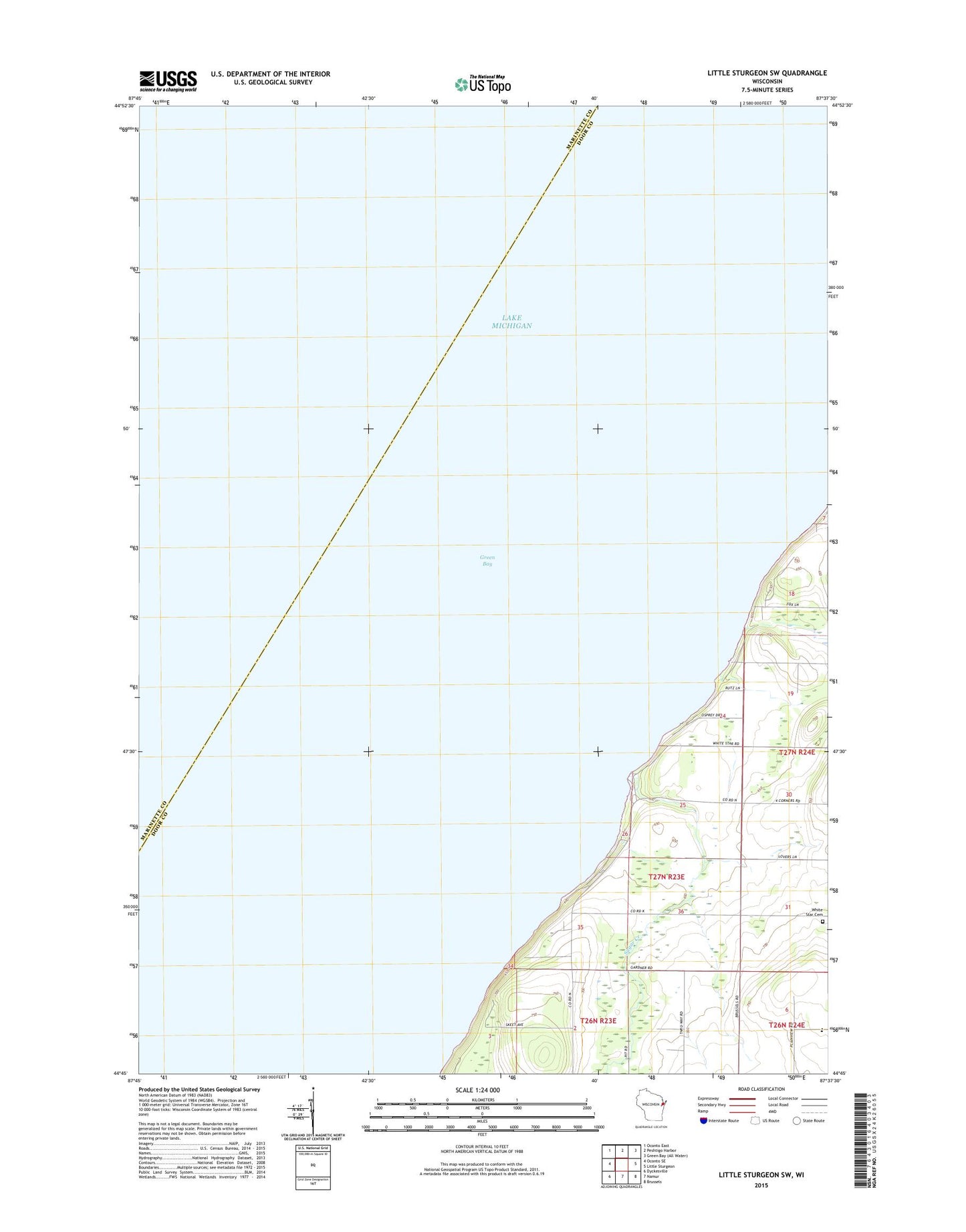
2022 topographic map quadrangle Little Sturgeon SW in the state of Wisconsin. Scale: 1:24000. Based on the newly updated USGS 7.5' US Topo map series, this map is in the following counties: Door, Marinette. The map contains contour data, water features, and other items you are used to seeing on USGS maps, but also has updated roads and other features. This is the next generation of topographic maps. Printed on high-quality waterproof paper with UV fade-resistant inks.
Quads adjacent to this one:
West: Oconto SE
Northwest: Oconto East
North: Peshtigo Harbor
East: Little Sturgeon
Southeast: Brussels
South: Namur
Southwest: Dyckesville
This map covers the same area as the classic USGS quad with code o44087g6.
Contains the following named places: Goat Hill Farm, Sugar Creek, Sugar Creek County Park, White Star Cemetery