MyTopo
Ellison Bay Wisconsin US Topo Map
Couldn't load pickup availability
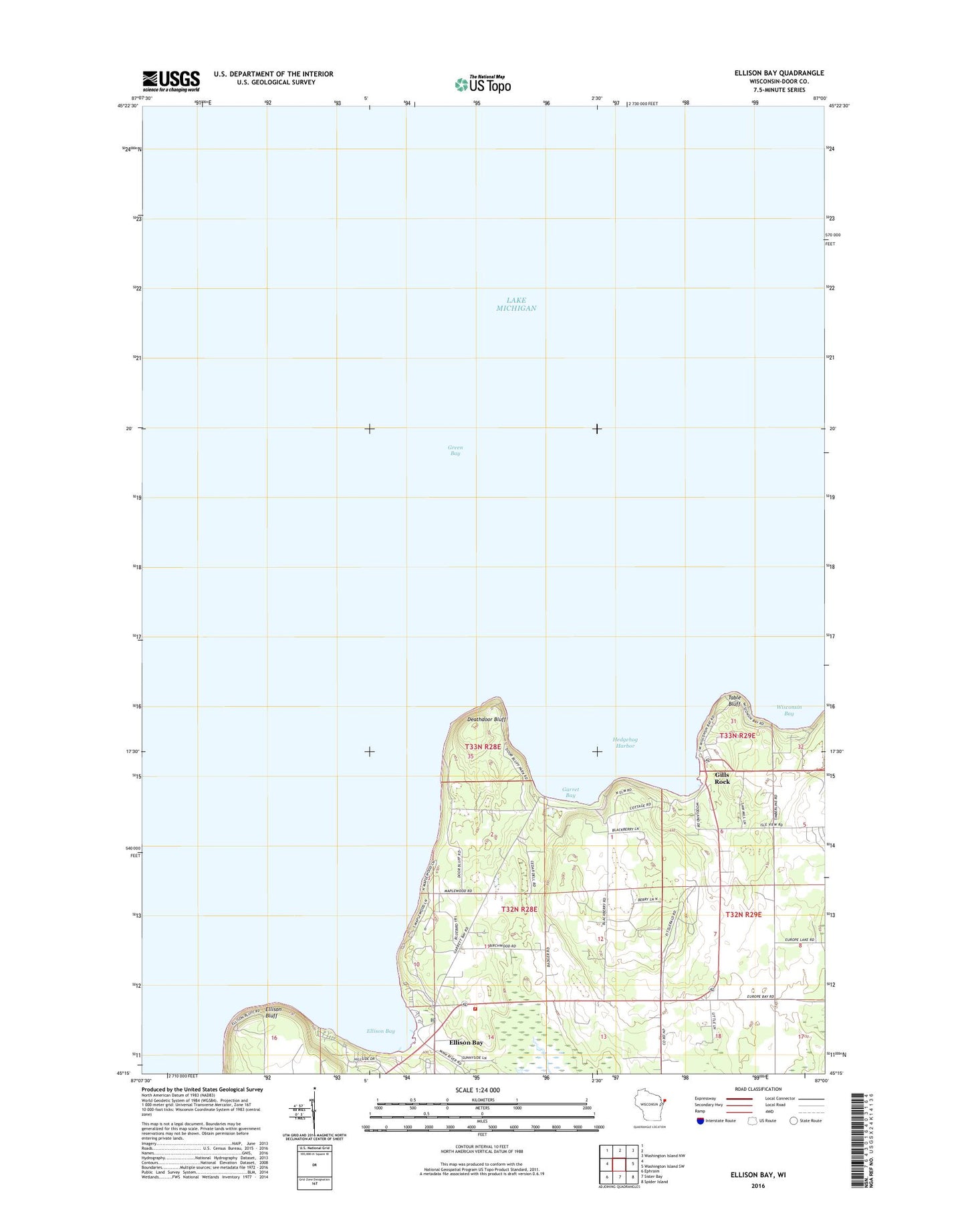
2018 topographic map quadrangle Ellison Bay in the state of Wisconsin. Scale: 1:24000. Based on the newly updated USGS 7.5' US Topo map series, this map is in the following counties: Door. The map contains contour data, water features, and other items you are used to seeing on USGS maps, but also has updated roads and other features. This is the next generation of topographic maps. Printed on high-quality waterproof paper with UV fade-resistant inks.
Quads adjacent to this one:
Northeast: Washington Island NW
East: Washington Island SW
Southeast: Spider Island
South: Sister Bay
Southwest: Ephraim
Contains the following named places: Bethel Church, Cedar Grove Resort, Deathdoor Bluff, Door Bluff County Park, Ellison Bay, Ellison Bay Bluff County Park, Ellison Bay Census Designated Place, Ellison Bay Post Office, Ellison Bluff, Ellison Bluff State Natural Area, Garret Bay, Gills Rock, Hedgehog Harbor, Sister Bay - Liberty Grove Fire Department North Station, Table Bluff, Trinity Lutheran Cemetery, Wisconsin Bay