MyTopo
Gates Lake Wisconsin US Topo Map
Couldn't load pickup availability
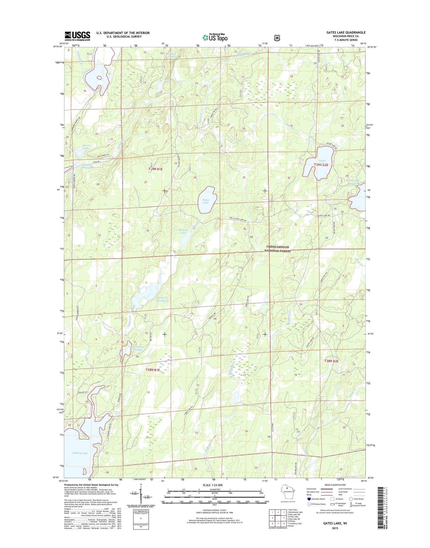
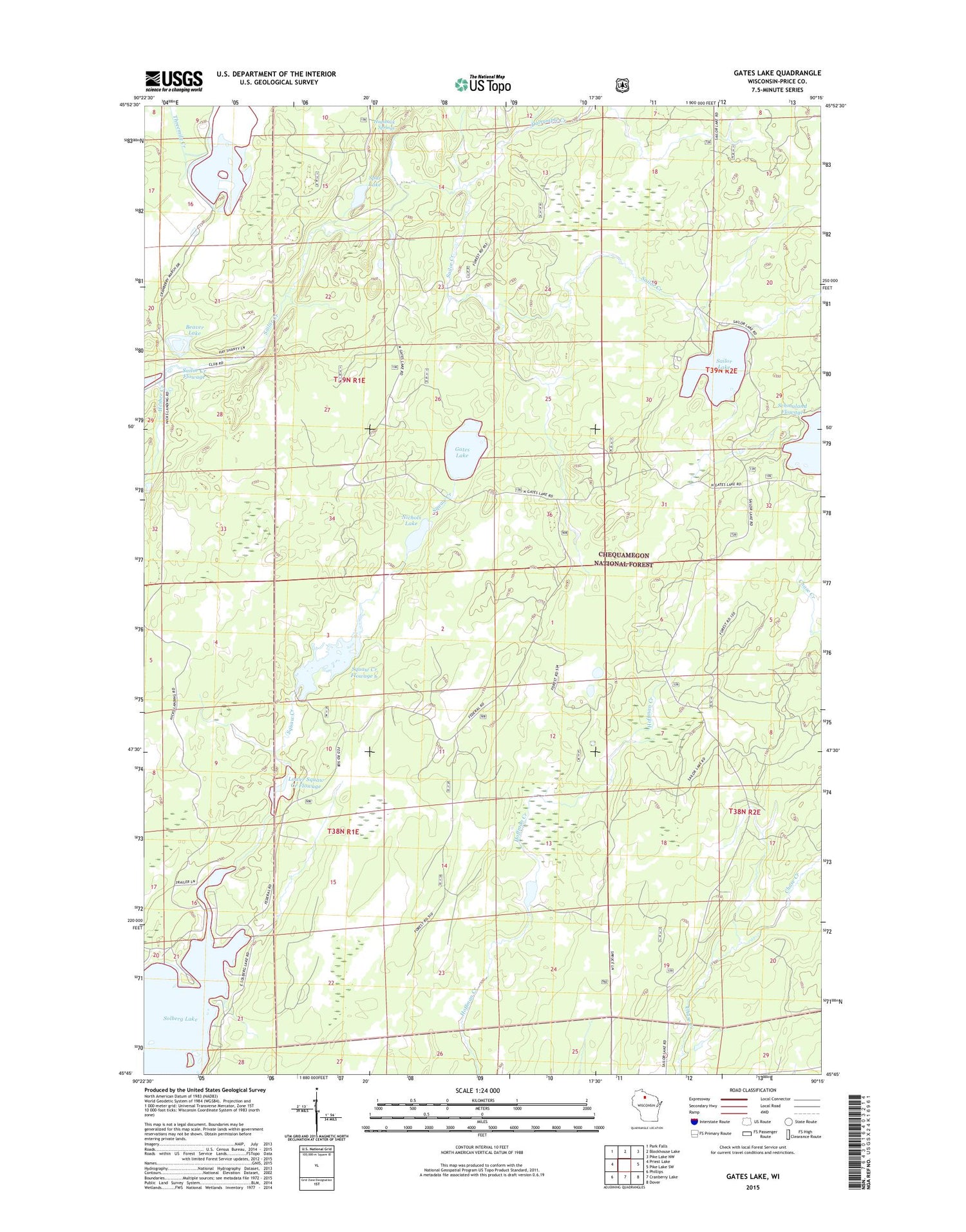
2018 topographic map quadrangle Gates Lake in the state of Wisconsin. Scale: 1:24000. Based on the newly updated USGS 7.5' US Topo map series, this map is in the following counties: Price. The map contains contour data, water features, and other items you are used to seeing on USGS maps, but also has updated roads and other features. This is the next generation of topographic maps. Printed on high-quality waterproof paper with UV fade-resistant inks.
Quads adjacent to this one:
West: Priest Lake
Northwest: Park Falls
North: Blockhouse Lake
Northeast: Pike Lake NW
East: Pike Lake SW
Southeast: Dover
South: Cranberry Lake
Southwest: Phillips
Contains the following named places: Beaver Lake, Dalrymple Creek, Gates Lake, Hesher Creek, Hicks Landing, Hogsback Springs, Lower Squaw Creek Flowage, Lower Squaw Creek Waterfowl Area, Nichols Lake, Sailor Lake, Sailor Lake Recreation Site, Schmuland Flowage, Schmuland Waterfowl Area, Solberg Lake, Solberg Lake County Park, Spur Lake, Squaw Creek D31.18 Dam, Squaw Creek Flowage 6, Squaw Creek Wildlife Flowage 2WP2459 Dam, Upper Squaw Creek Waterfowl Area, ZIP Code: 54524