MyTopo
Park Falls Wisconsin US Topo Map
Couldn't load pickup availability
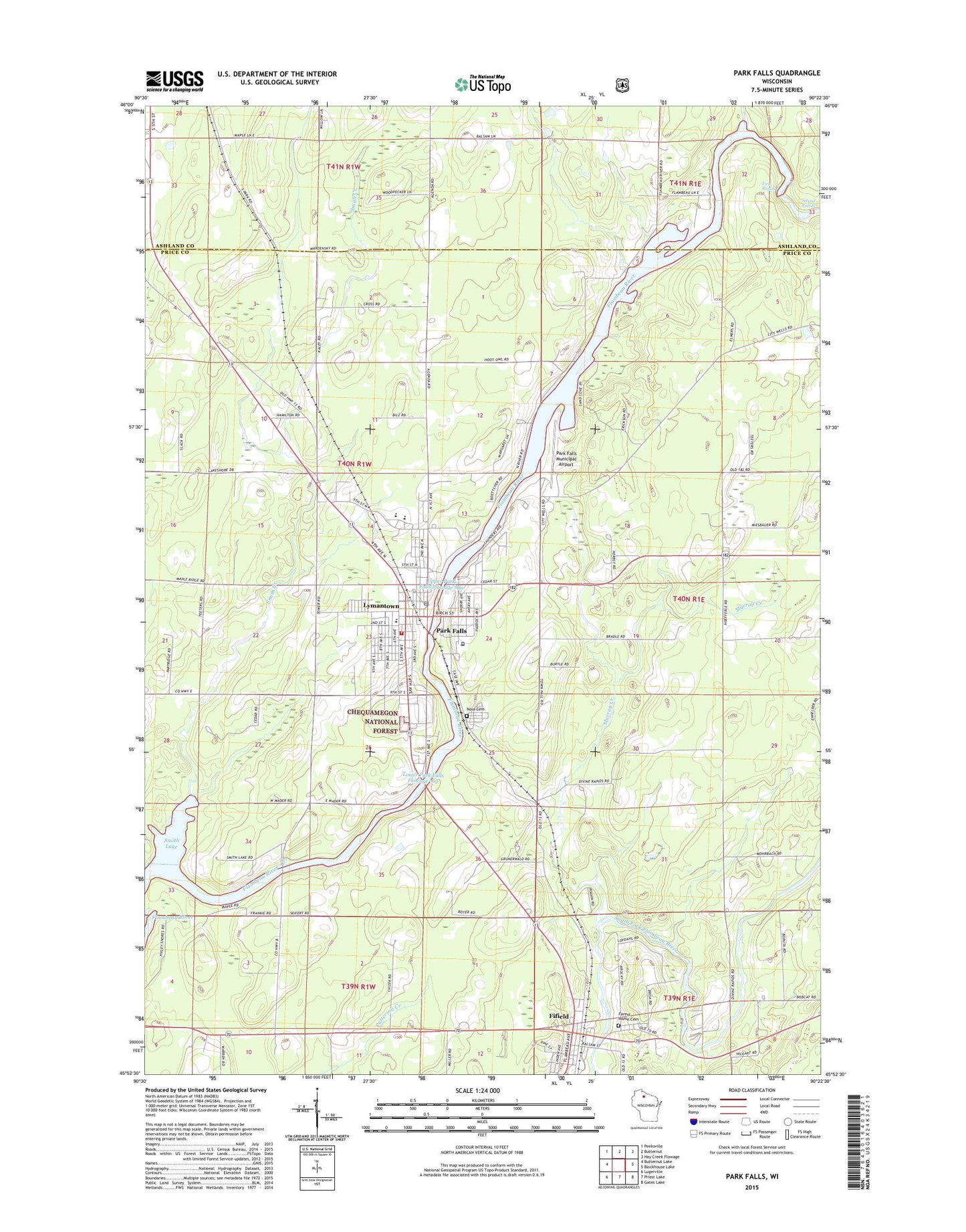
2022 topographic map quadrangle Park Falls in the state of Wisconsin. Scale: 1:24000. Based on the newly updated USGS 7.5' US Topo map series, this map is in the following counties: Price, Ashland. The map contains contour data, water features, and other items you are used to seeing on USGS maps, but also has updated roads and other features. This is the next generation of topographic maps. Printed on high-quality waterproof paper with UV fade-resistant inks.
Quads adjacent to this one:
West: Butternut Lake
Northwest: Peeksville
North: Butternut
Northeast: Hay Creek Flowage
East: Blockhouse Lake
Southeast: Gates Lake
South: Priest Lake
Southwest: Lugerville
This map covers the same area as the classic USGS quad with code o45090h4.
Contains the following named places: Bosner Creek, Chequamegon High School, Christ the Servant Lutheran Church, City of Park Falls, Class Act Charter School, Cummings Dam, Divine Rapids, Divine Rapids School, Evangelical Covenant Church, Faith Baptist Church, Family Worship Center of the Assemblies of God, Fifield, Fifield Post Office, First Congregational United Church of Christ, First Rapids, Forest Home Cemetery, Green Valley School, Greenfield School, Hines Park, Lakeside School, Lincoln School, Lower Hydro WP183 Dam, Lower Park Falls Flowage 762, Lymantown, Marshfield Medical Center - Park Falls, Murray Creek, Nola Cemetery, Park Falls, Park Falls Center Marshfield Clinic, Park Falls City Hall, Park Falls Elementary School, Park Falls Fire Department, Park Falls Junior High School, Park Falls Municipal Airport, Park Falls Police Department, Park Falls Post Office, Park Falls Public Library, Park Manor Nursing Home, Peace Lutheran Church, Pleasant View School, Saint Anthony of Padua Catholic Church, Saint Anthony of Padua Catholic School, Saint Margarets Episcopal Church, Second Rapids, Smith Creek, Smith Lake, Swamp Lake, Sweet Clover School, Triangle Park, United Pentecostal Church, Upper Hydro Dam, Upper Park Falls Flowage 760, WNBI-AM (Park Falls), WNBI-FM (Park Falls), Wood School


