MyTopo
Jump River Fire Tower NW Wisconsin US Topo Map
Couldn't load pickup availability
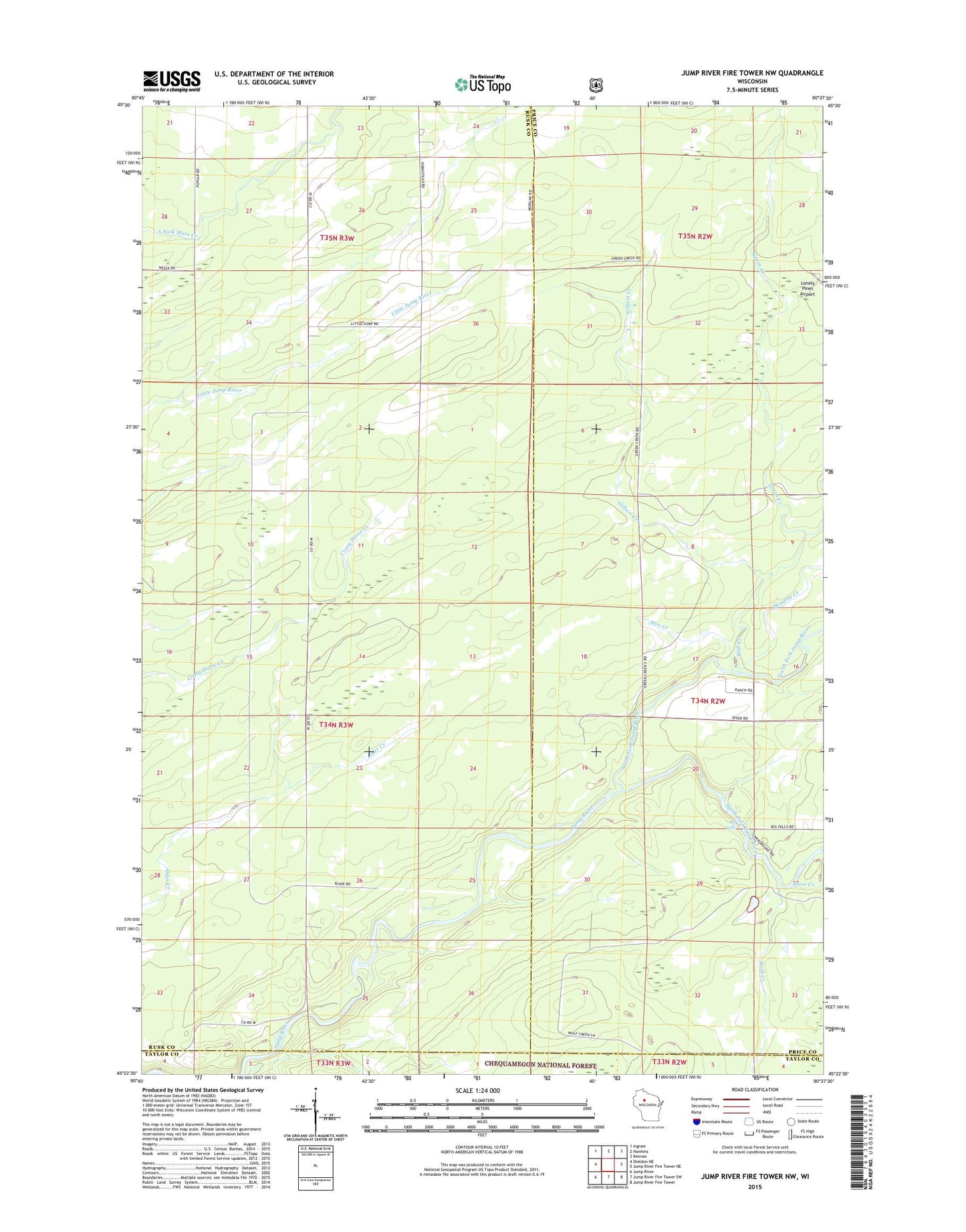
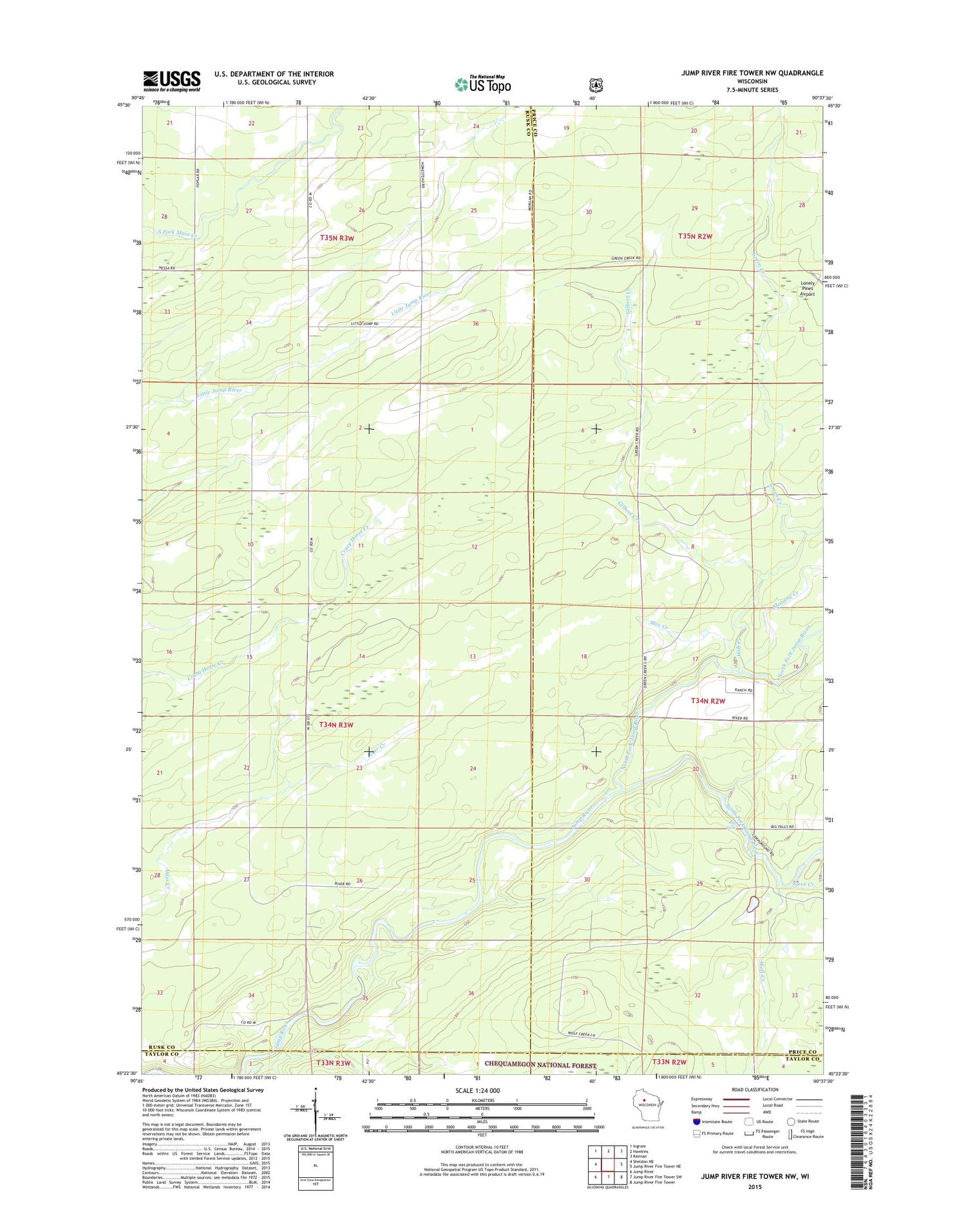
2018 topographic map quadrangle Jump River Fire Tower NW in the state of Wisconsin. Scale: 1:24000. Based on the newly updated USGS 7.5' US Topo map series, this map is in the following counties: Rusk, Price, Taylor. The map contains contour data, water features, and other items you are used to seeing on USGS maps, but also has updated roads and other features. This is the next generation of topographic maps. Printed on high-quality waterproof paper with UV fade-resistant inks.
Quads adjacent to this one:
West: Sheldon NE
Northwest: Ingram
North: Hawkins
Northeast: Kennan
East: Jump River Fire Tower NE
Southeast: Jump River Fire Tower
South: Jump River Fire Tower SW
Southwest: Jump River
Contains the following named places: Big Falls, Big Falls Campground, Gilbert Creek, Green Creek, Meadow Creek, Mox Creek, North Fork Jump River, South Fork Jump River, Steve Creek, Town of Hawkins, Web Creek, Wolf Creek