MyTopo
Lindsey Wisconsin US Topo Map
Couldn't load pickup availability
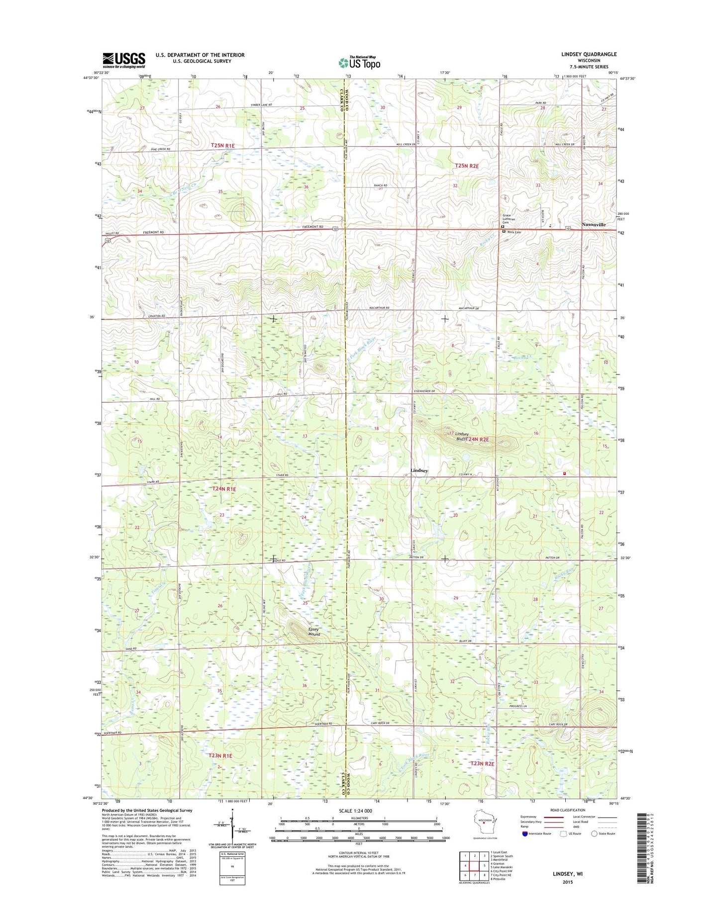
2018 topographic map quadrangle Lindsey in the state of Wisconsin. Scale: 1:24000. Based on the newly updated USGS 7.5' US Topo map series, this map is in the following counties: Wood, Clark. The map contains contour data, water features, and other items you are used to seeing on USGS maps, but also has updated roads and other features. This is the next generation of topographic maps. Printed on high-quality waterproof paper with UV fade-resistant inks.
Quads adjacent to this one:
West: Granton
Northwest: Loyal East
North: Spencer South
Northeast: Marshfield
East: Lake Manakiki
Southeast: Pittsville
South: City Point NE
Southwest: City Point NW
Contains the following named places: East Fremont School, Epsey Mound, Forest Side School, Grace Church, Grace Lutheran Cemetery, Hill Crest School, Lincoln School, Lindsey, Lindsey Bluffs, Lone Elm School, Maple Grove School, Nasonville, Nasonville Church, Nasonville Elementary School, Pleasant Rock School, Rock Cemetery, Rock Fire Department, Town of Rock, Washington School, ZIP Code: 54420