MyTopo
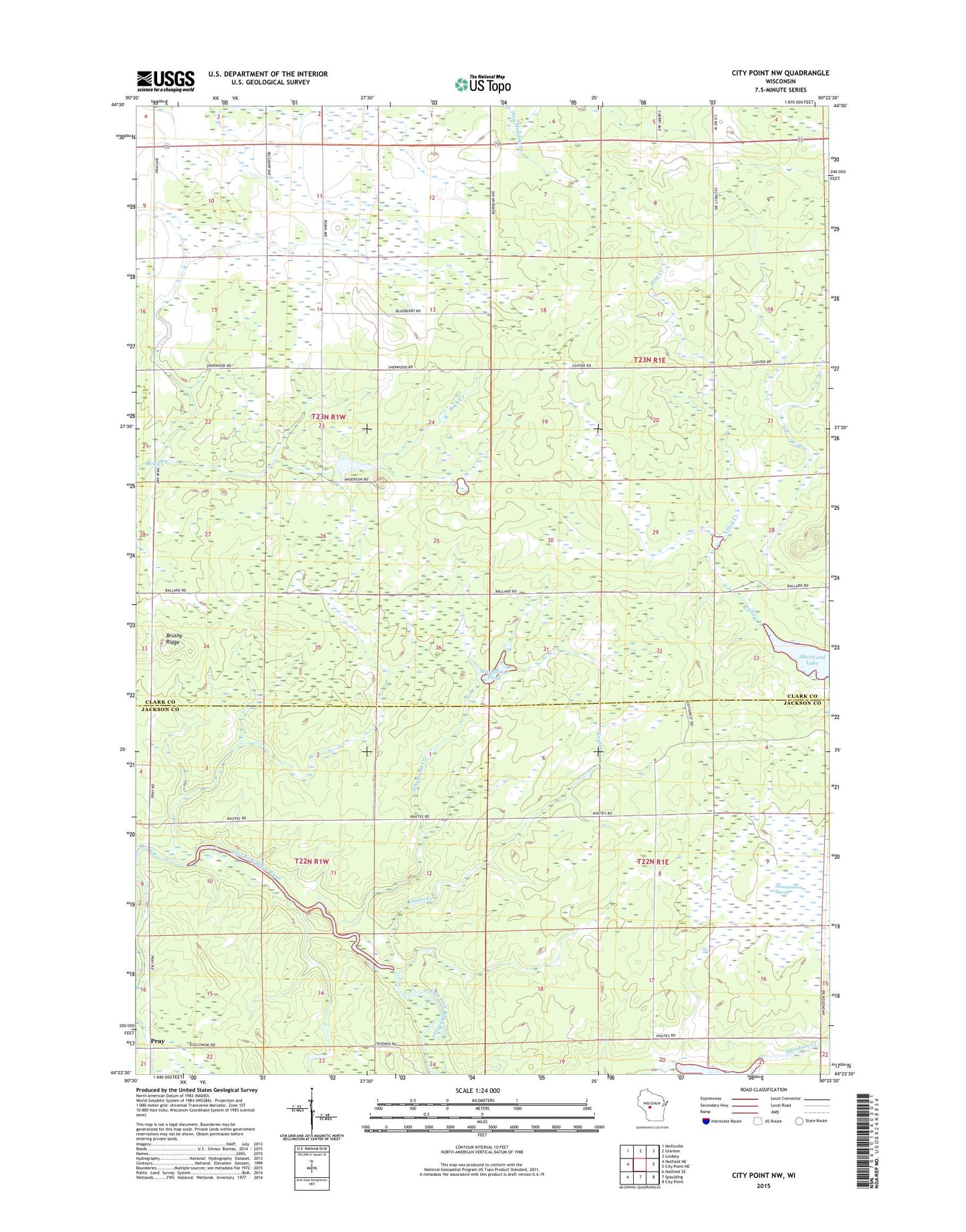
City Point NW Wisconsin US Topo Map
Couldn't load pickup availability
2022 topographic map quadrangle City Point NW in the state of Wisconsin. Scale: 1:24000. Based on the newly updated USGS 7.5' US Topo map series, this map is in the following counties: Clark, Jackson. The map contains contour data, water features, and other items you are used to seeing on USGS maps, but also has updated roads and other features. This is the next generation of topographic maps. Printed on high-quality waterproof paper with UV fade-resistant inks.
Quads adjacent to this one:
West: Hatfield NE
Northwest: Neillsville
North: Granton
Northeast: Lindsey
East: City Point NE
Southeast: City Point
South: Spaulding
Southwest: Hatfield SE
This map covers the same area as the classic USGS quad with code o44090d4.
Contains the following named places: 1.95 Reservoir, Knutes Creek, Lake 21-7 8, Qualley E1854 Dam, Schumann Creek, Sherwood Lake, Town of Sherwood, Town of Washburn, Washwood Pond