MyTopo
Spencer South Wisconsin US Topo Map
Couldn't load pickup availability
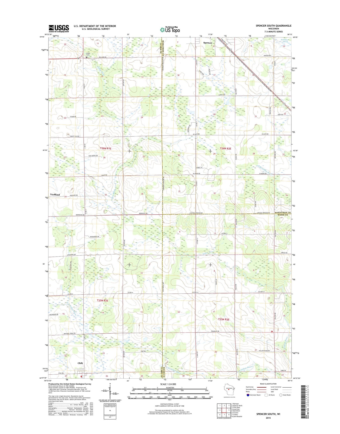
2022 topographic map quadrangle Spencer South in the state of Wisconsin. Scale: 1:24000. Based on the newly updated USGS 7.5' US Topo map series, this map is in the following counties: Clark, Marathon, Wood. The map contains contour data, water features, and other items you are used to seeing on USGS maps, but also has updated roads and other features. This is the next generation of topographic maps. Printed on high-quality waterproof paper with UV fade-resistant inks.
Quads adjacent to this one:
West: Loyal East
Northwest: Riplinger
North: Spencer North
Northeast: Little Rose
East: Marshfield
Southeast: Lake Manakiki
South: Lindsey
Southwest: Granton
This map covers the same area as the classic USGS quad with code o44090f3.
Contains the following named places: Cameron School, Chili, Chili - Fremont Volunteer Fire Department, Chili Census Designated Place, Chili Post Office, Coles Cemetery, Coles School, East Branch Yellow River, Ebbe School, Grant School, Holmes School, Lincoln Township Fire Department, Saint Stephens Church, Town of Lincoln, Town of Spencer, Veefkind, Veefkind School