MyTopo
Mawikwe Bay Wisconsin US Topo Map
Couldn't load pickup availability
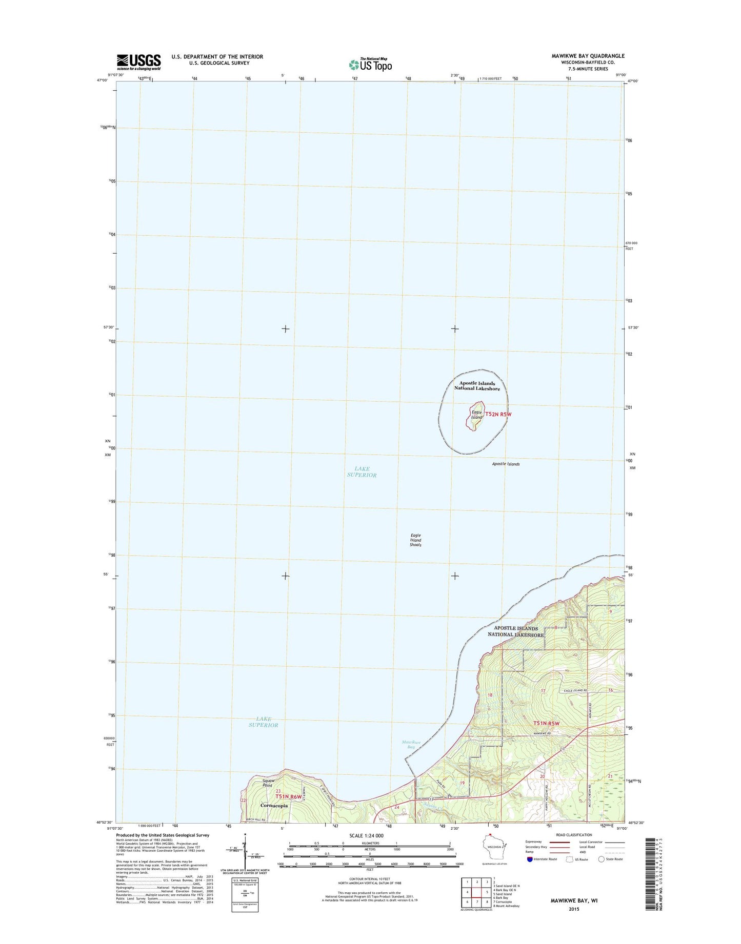
2018 topographic map quadrangle Mawikwe Bay in the state of Wisconsin. Scale: 1:24000. Based on the newly updated USGS 7.5' US Topo map series, this map is in the following counties: Bayfield. The map contains contour data, water features, and other items you are used to seeing on USGS maps, but also has updated roads and other features. This is the next generation of topographic maps. Printed on high-quality waterproof paper with UV fade-resistant inks.
Quads adjacent to this one:
West: Bark Bay OE N
Northeast: Sand Island OE N
East: Sand Island
Southeast: Mount Ashwabay
South: Cornucopia
Southwest: Bark Bay
Contains the following named places: Eagle Island, Eagle Island Shoals, Mawikwe Bay, Saxine Creek, Squaw Creek, Squaw Point