MyTopo
Bark Bay Wisconsin US Topo Map
Couldn't load pickup availability
Also explore the Bark Bay Forest Service Topo of this same quad for updated USFS data
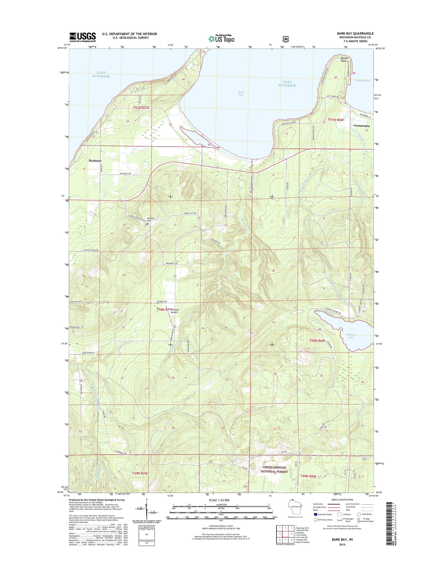
2022 topographic map quadrangle Bark Bay in the state of Wisconsin. Scale: 1:24000. Based on the newly updated USGS 7.5' US Topo map series, this map is in the following counties: Bayfield. The map contains contour data, water features, and other items you are used to seeing on USGS maps, but also has updated roads and other features. This is the next generation of topographic maps. Printed on high-quality waterproof paper with UV fade-resistant inks.
Quads adjacent to this one:
West: Herbster
North: Bark Bay OE N
Northeast: Mawikwe Bay
East: Cornucopia
Southeast: Mount Valhalla
South: Moquah NW
Southwest: Iron Lake NE
This map covers the same area as the classic USGS quad with code o46091g2.
Contains the following named places: Bark Bay, Bark Bay Slough State Natural Area, Bark River, Herbster Census Designated Place, Herbster Community Cemetery, Lenawee Creek, Lost Creek Bog State Natural Area, Lost Creek Number One, Lost Creek Number Three, Lost Creek Number Two, Roman Point, Siskiwit Lake, Town of Clover, Vietmeier Airport, ZIP Code: 54844