MyTopo
Sand Island Wisconsin US Topo Map
Couldn't load pickup availability
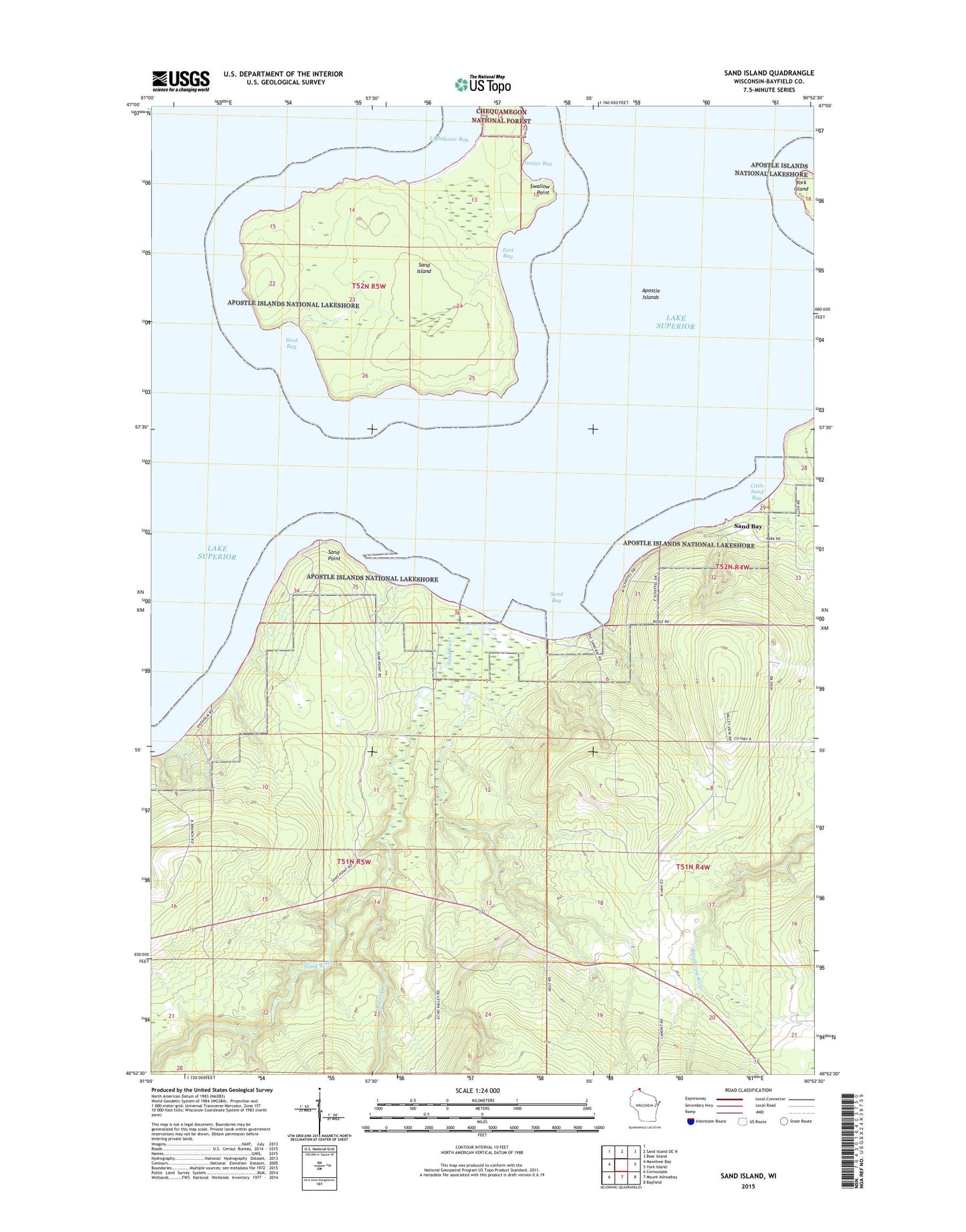
2022 topographic map quadrangle Sand Island in the state of Wisconsin. Scale: 1:24000. Based on the newly updated USGS 7.5' US Topo map series, this map is in the following counties: Bayfield. The map contains contour data, water features, and other items you are used to seeing on USGS maps, but also has updated roads and other features. This is the next generation of topographic maps. Printed on high-quality waterproof paper with UV fade-resistant inks.
Quads adjacent to this one:
West: Mawikwe Bay
North: Sand Island OE N
Northeast: Bear Island
East: York Island
Southeast: Bayfield
South: Mount Ashwabay
Southwest: Cornucopia
This map covers the same area as the classic USGS quad with code o46090h8.
Contains the following named places: East Bay, Justice Bay, Lighthouse Bay, Little Sand Bay, Racket Creek, Sand Bay, Sand Island, Sand Point, Sand River, Swallow Point, Town of Bayfield, West Bay