MyTopo
Priest Lake Wisconsin US Topo Map
Couldn't load pickup availability
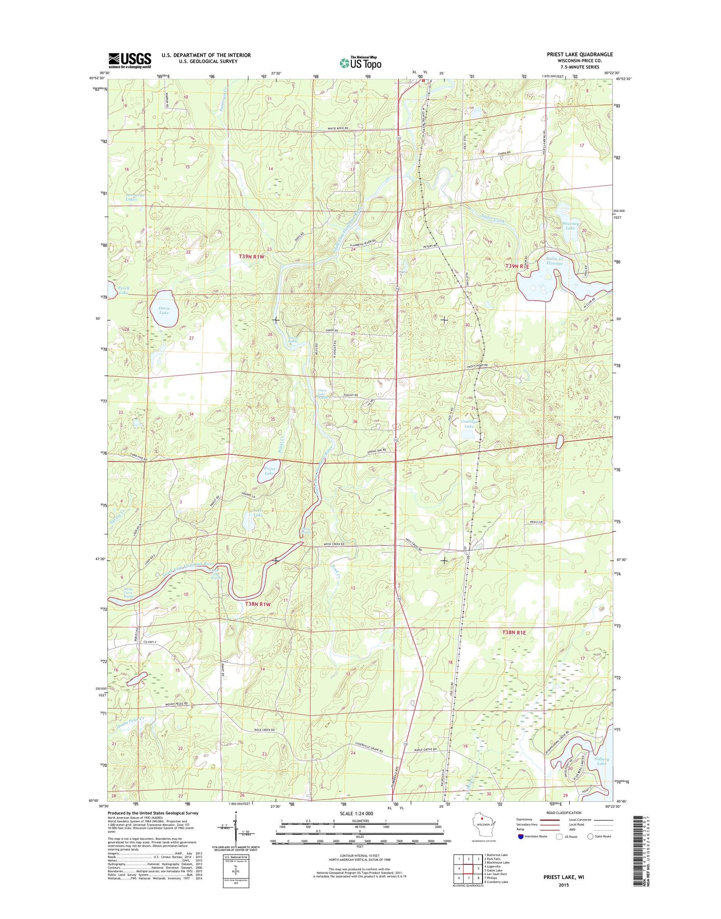
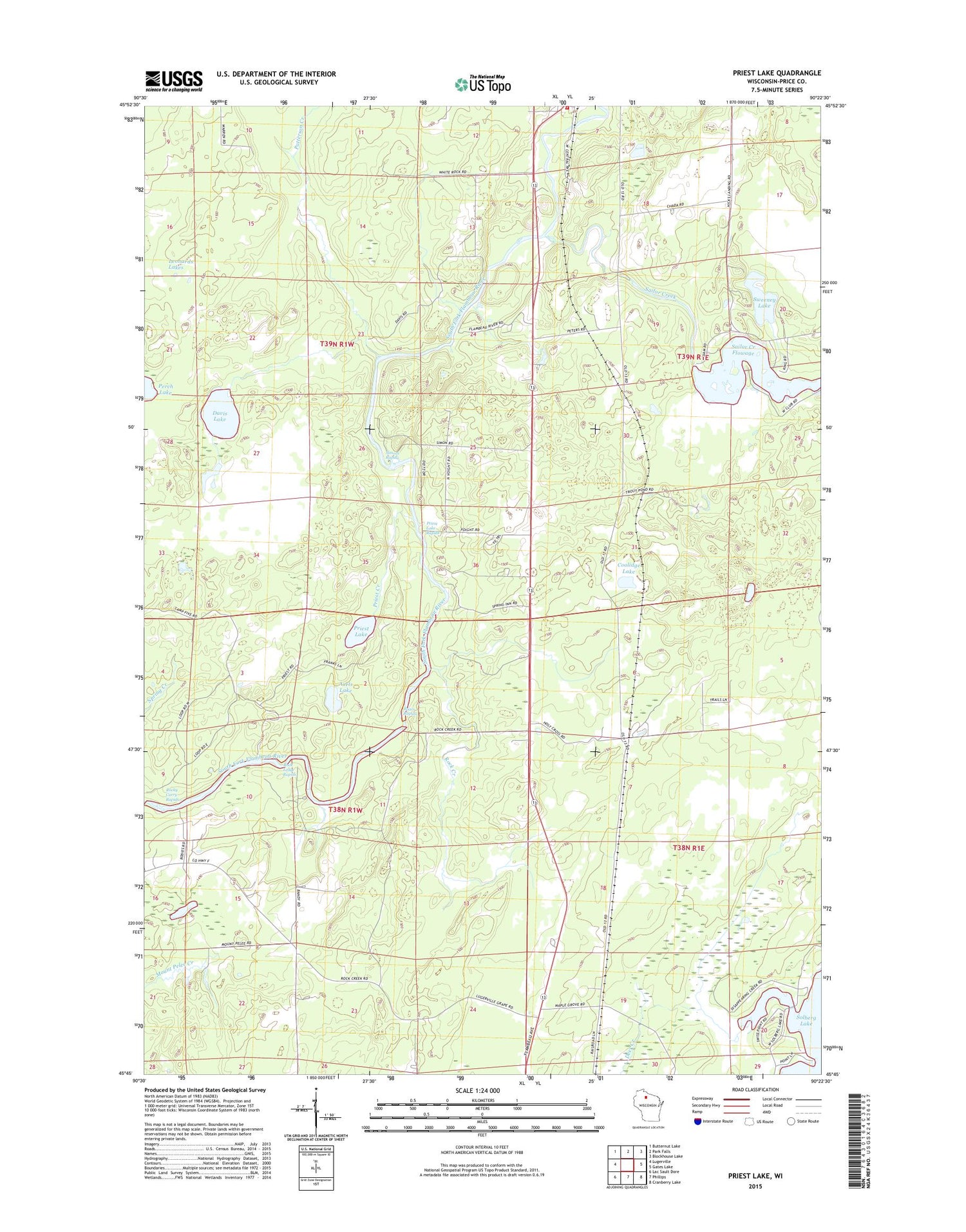
2018 topographic map quadrangle Priest Lake in the state of Wisconsin. Scale: 1:24000. Based on the newly updated USGS 7.5' US Topo map series, this map is in the following counties: Price. The map contains contour data, water features, and other items you are used to seeing on USGS maps, but also has updated roads and other features. This is the next generation of topographic maps. Printed on high-quality waterproof paper with UV fade-resistant inks.
Quads adjacent to this one:
West: Lugerville
Northwest: Butternut Lake
North: Park Falls
Northeast: Blockhouse Lake
East: Gates Lake
Southeast: Cranberry Lake
South: Phillips
Southwest: Lac Sault Dore
Contains the following named places: Axels Lake, Boars Rapids, Coolidge, Coolidge Lake, Davis Lake, Edgewood School, Fifield Fire Department District 1, Holy Cross King of Martyrs Priory, Leonards Lakes, Patterson Creek, Priest Creek, Priest Lake, Priest Lake Rapids, Rock Creek, Rock Ledge Rapids, Sailor Creek, Sailor Creek Flowage, Sailor Creek School, Simons Rapids, Sweeney Lake