MyTopo
Ridgeland NE Wisconsin US Topo Map
Couldn't load pickup availability
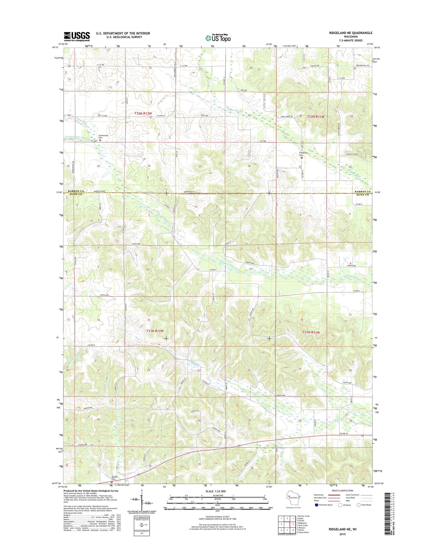
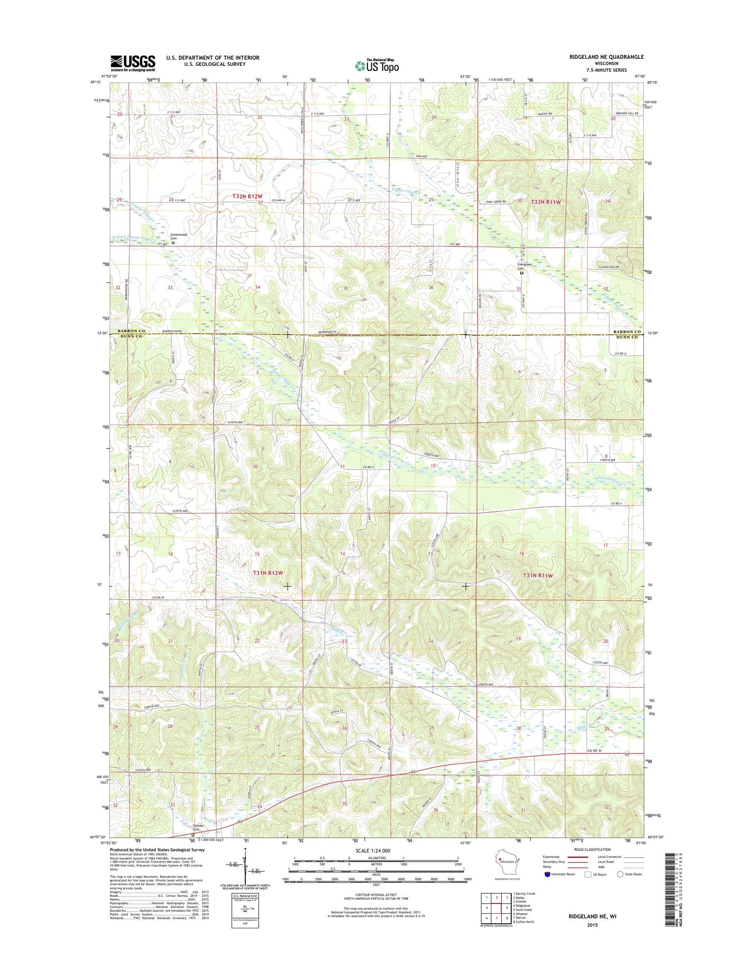
2018 topographic map quadrangle Ridgeland NE in the state of Wisconsin. Scale: 1:24000. Based on the newly updated USGS 7.5' US Topo map series, this map is in the following counties: Dunn, Barron. The map contains contour data, water features, and other items you are used to seeing on USGS maps, but also has updated roads and other features. This is the next generation of topographic maps. Printed on high-quality waterproof paper with UV fade-resistant inks.
Quads adjacent to this one:
West: Ridgeland
Northwest: Dorrity Creek
North: Dallas
Northeast: Chetek
East: Sand Creek
Southeast: Colfax North
South: Norton
Southwest: Wheeler
Contains the following named places: Concord School, Dallas Townhall, Evergreen Cemetery, Evergreen School, Greenwood Cemetery, New Hope Church, Plainview School, Ridgeland Wastewater Treatment Plant, South Fork Lower Pine Creek, Tollebu Cemetery, Town of Wilson, Wayside School, Wildu Farm