
MyTopo
Shamrock Wisconsin US Topo Map
Couldn't load pickup availability
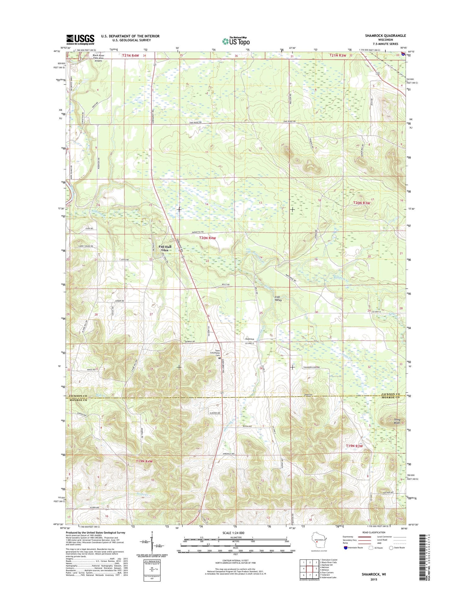
2018 topographic map quadrangle Shamrock in the state of Wisconsin. Scale: 1:24000. Based on the newly updated USGS 7.5' US Topo map series, this map is in the following counties: Jackson, Monroe. The map contains contour data, water features, and other items you are used to seeing on USGS maps, but also has updated roads and other features. This is the next generation of topographic maps. Printed on high-quality waterproof paper with UV fade-resistant inks.
Quads adjacent to this one:
West: Melrose
Northwest: Stenulson Coulee
North: Black River Falls
Northeast: Hatfield SW
East: Millston
Southeast: Alderwood Lake
South: Cataract
Southwest: Four Corners
Contains the following named places: Clear Creek, Edenvale School, Fall Hall Glen, Gospel Hall, Hawk Island School, Hill Settlement School, Irish Valley, Oak Ridge School, Peace Church, Pine Hill School, Polly Falls, Printz Creek School, Saint Columkille Cemetery, Saint Columkille Church, Shamrock, Shamrock Creek, Stony Bluff, Stony Creek, Town of Manchester, Union Church


