MyTopo
Wilson Lake Wisconsin US Topo Map
Couldn't load pickup availability
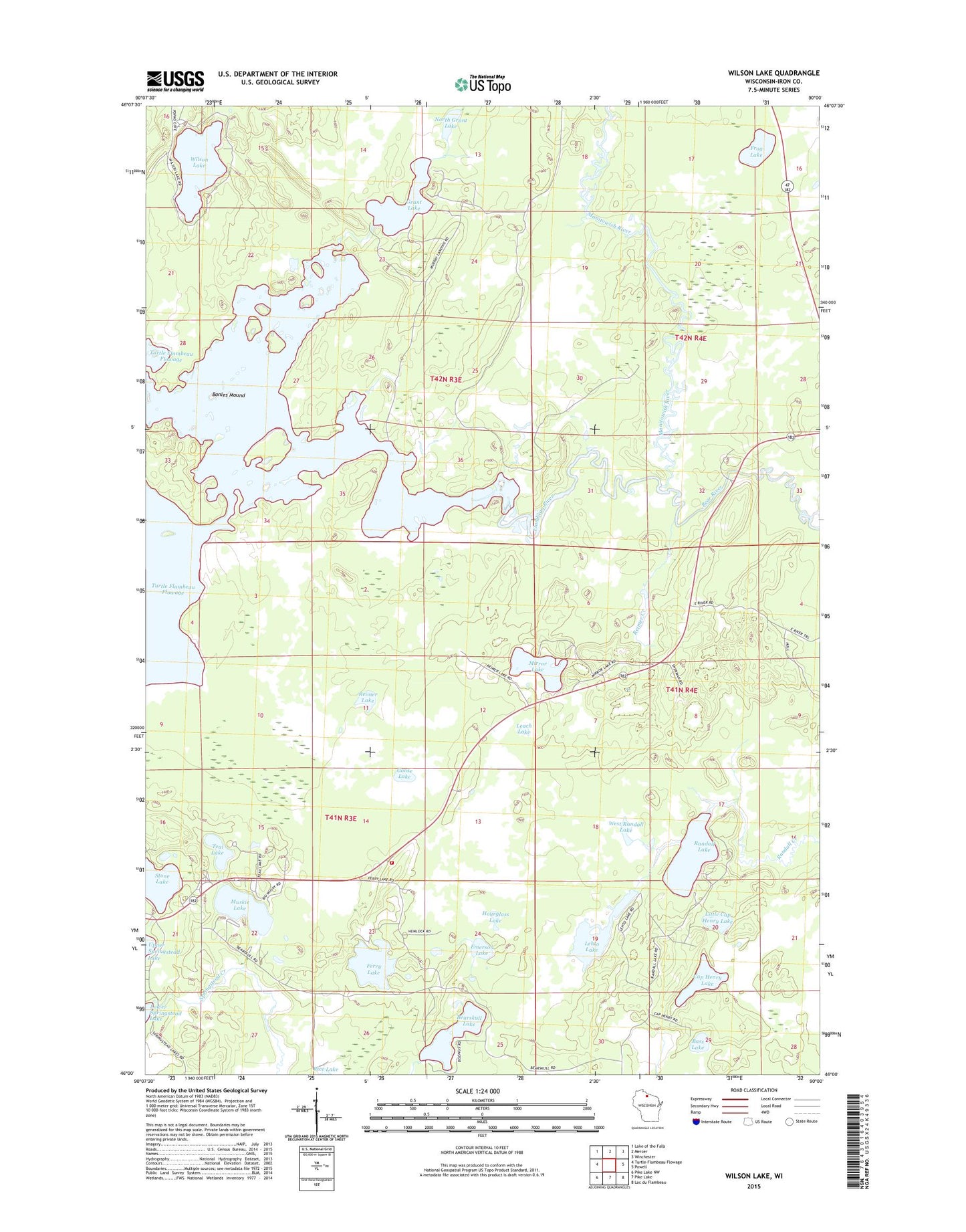
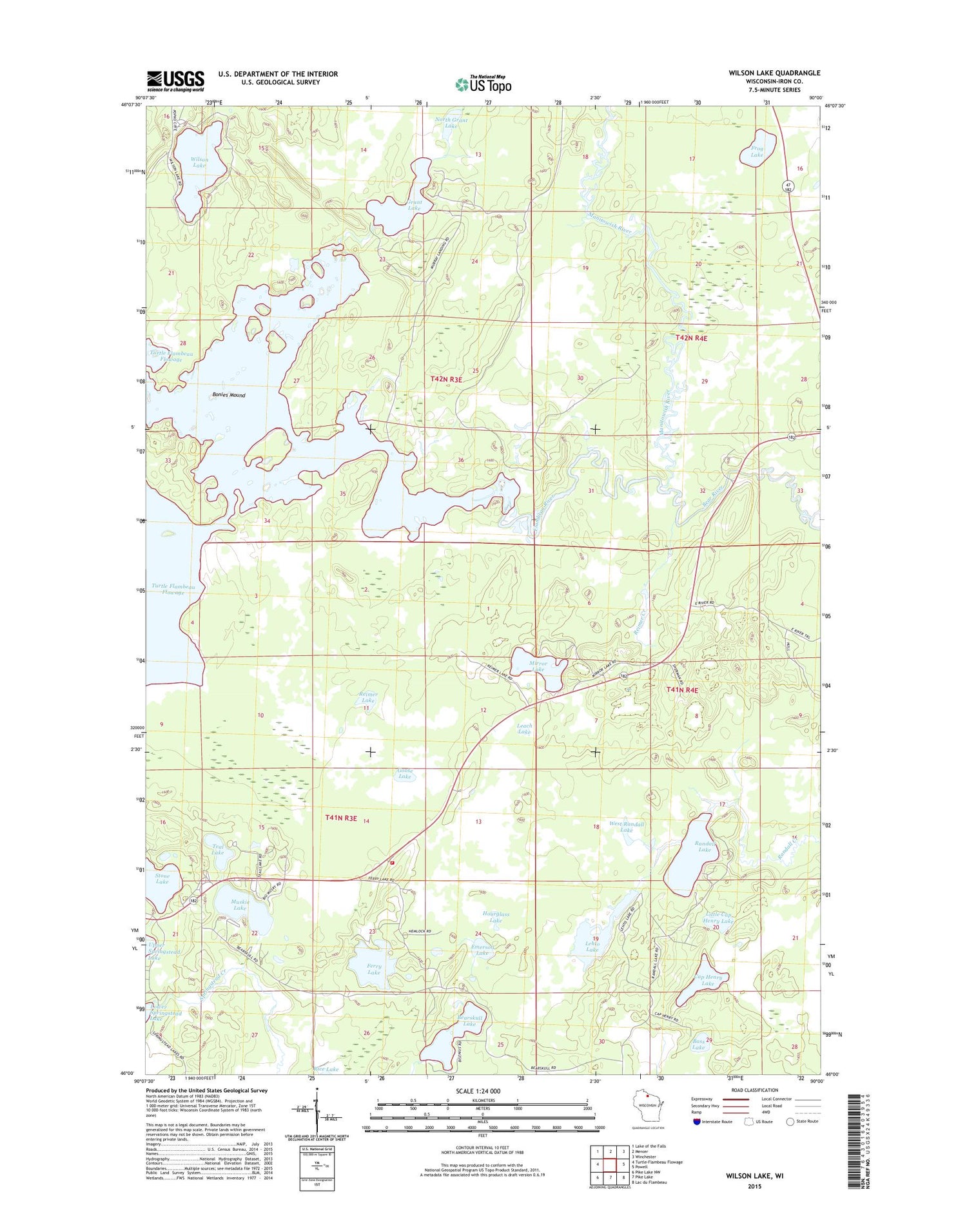
2018 topographic map quadrangle Wilson Lake in the state of Wisconsin. Scale: 1:24000. Based on the newly updated USGS 7.5' US Topo map series, this map is in the following counties: Iron. The map contains contour data, water features, and other items you are used to seeing on USGS maps, but also has updated roads and other features. This is the next generation of topographic maps. Printed on high-quality waterproof paper with UV fade-resistant inks.
Quads adjacent to this one:
West: Turtle-Flambeau Flowage
Northwest: Lake of the Falls
North: Mercer
Northeast: Winchester
East: Powell
Southeast: Lac du Flambeau
South: Pike Lake
Southwest: Pike Lake NW
Contains the following named places: Bass Lake, Bear River, Bearskull Lake, Bonies Mound, Boot Lake State Wildlife Area, Cap Henry Lake, East Reimer Lake, Emerson Lake, Ferry Lake, Frog Lake, Frog Lake and Pines State Natural Area, Goose Lake, Grant Lake, Hall Lake, Hourglass Lake, Leach Lake, Lehto Lake, Little Bear Creek, Little Cap Henry Lake, Manitowish River, Mirror Lake, Murrays Landing, Muskie Lake, North Grant Lake, Randall Lake, Reimer Creek, Reimer Lake, Sherman Township Volunteer Fire Department, Springstead Muskeg State Natural Area, Stone Lake, Teal Lake, Town of Sherman, West Randall Lake, Wilson Lake