MyTopo
Amethyst Mountain Wyoming US Topo Map
Couldn't load pickup availability
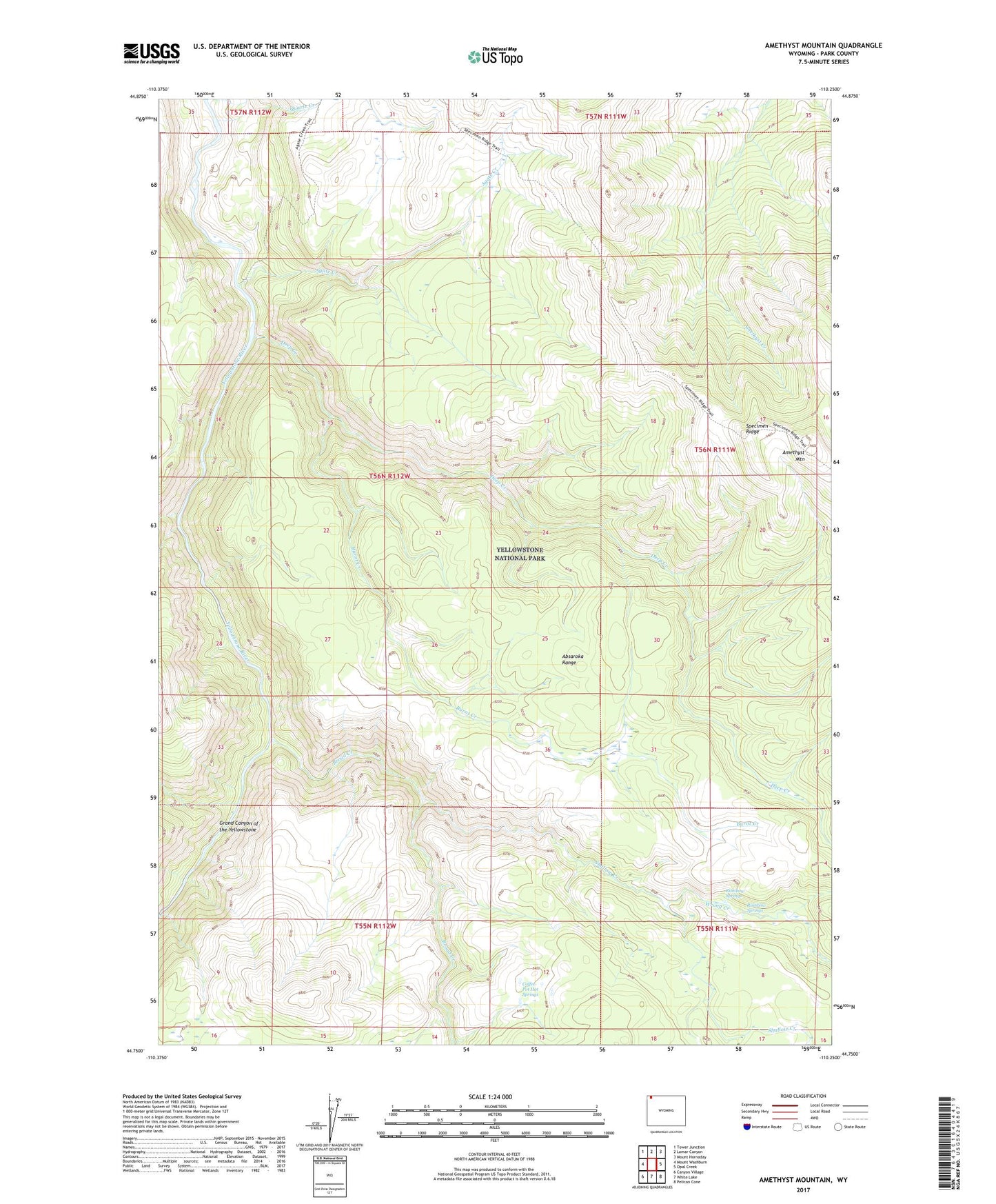
2021 topographic map quadrangle Amethyst Mountain in the state of Wyoming. Scale: 1:24000. Based on the newly updated USGS 7.5' US Topo map series, this map is in the following counties: Park. The map contains contour data, water features, and other items you are used to seeing on USGS maps, but also has updated roads and other features. This is the next generation of topographic maps. Printed on high-quality waterproof paper with UV fade-resistant inks.
Quads adjacent to this one:
West: Mount Washburn
Northwest: Tower Junction
North: Lamar Canyon
Northeast: Mount Hornaday
East: Opal Creek
Southeast: Pelican Cone
South: White Lake
Southwest: Canyon Village
Contains the following named places: Agate Creek, Amethyst Mountain, Broad Creek, Burnt Creek, Coffee Pot Hot Springs, Deep Creek, Quartz Creek, Rainbow Springs, Shallow Creek, Specimen Ridge, Specimen Ridge Trail, Wrong Creek