MyTopo
Arpan Butte Wyoming US Topo Map
Couldn't load pickup availability
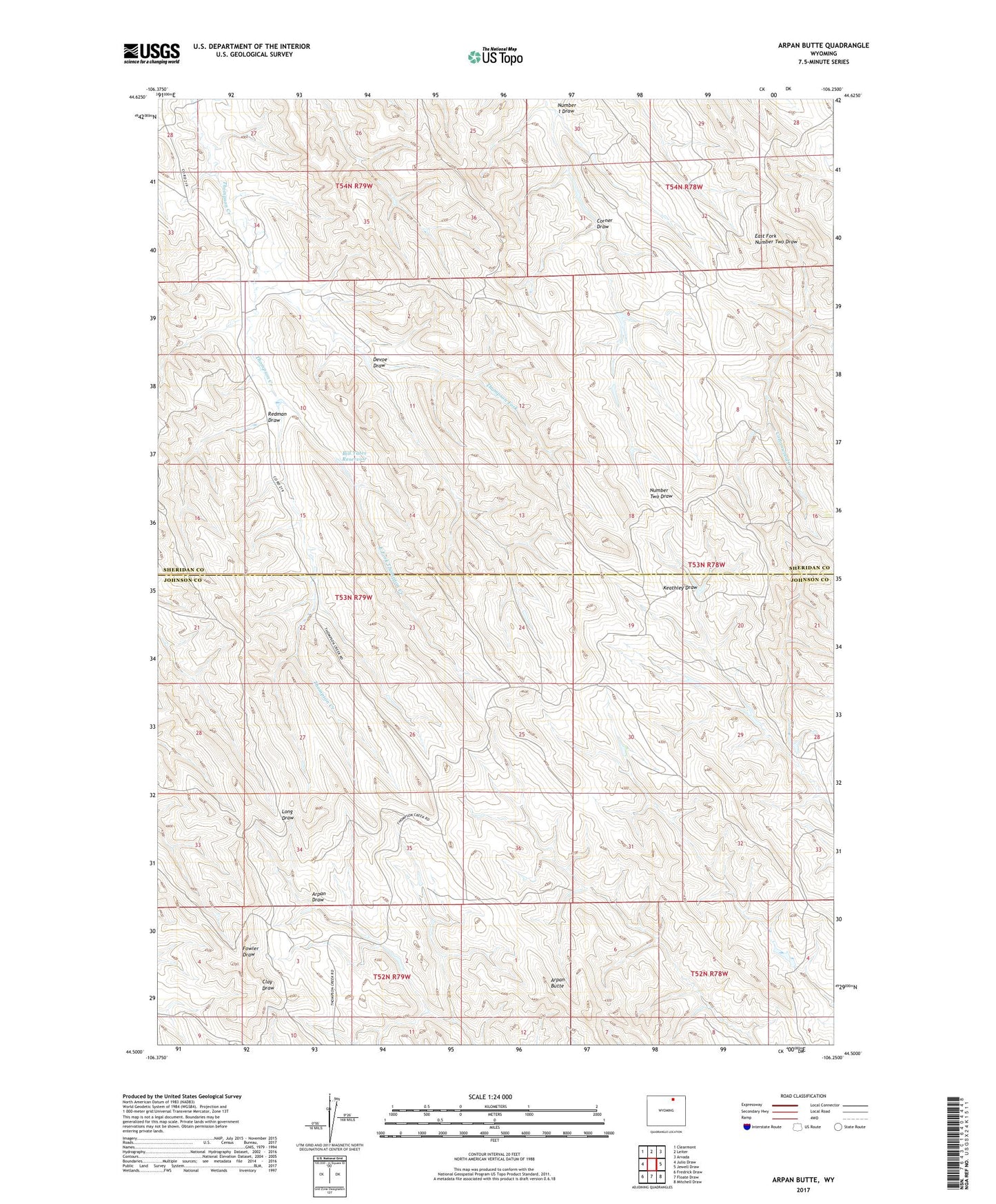
2021 topographic map quadrangle Arpan Butte in the state of Wyoming. Scale: 1:24000. Based on the newly updated USGS 7.5' US Topo map series, this map is in the following counties: Sheridan, Johnson. The map contains contour data, water features, and other items you are used to seeing on USGS maps, but also has updated roads and other features. This is the next generation of topographic maps. Printed on high-quality waterproof paper with UV fade-resistant inks.
Quads adjacent to this one:
West: Julio Draw
Northwest: Clearmont
North: Leiter
Northeast: Arvada
East: Jewell Draw
Southeast: Mitchell Draw
South: Floate Draw
Southwest: Fredrick Draw
Contains the following named places: Arpan Butte, Auzqui Number 2 Dam, Auzqui Reservoir Number 2, Ben Dam, Ben Reservoir, Bill Yates Reservoir, Corner Draw, Devoe Draw, East Fork Thompson Creek, Green Cabin Number 3 Dam, Number 1 Draw, Redman Draw, Republican Dam, Republican Reservoir, Thompson Fork