
MyTopo
Arvada Wyoming US Topo Map
Couldn't load pickup availability
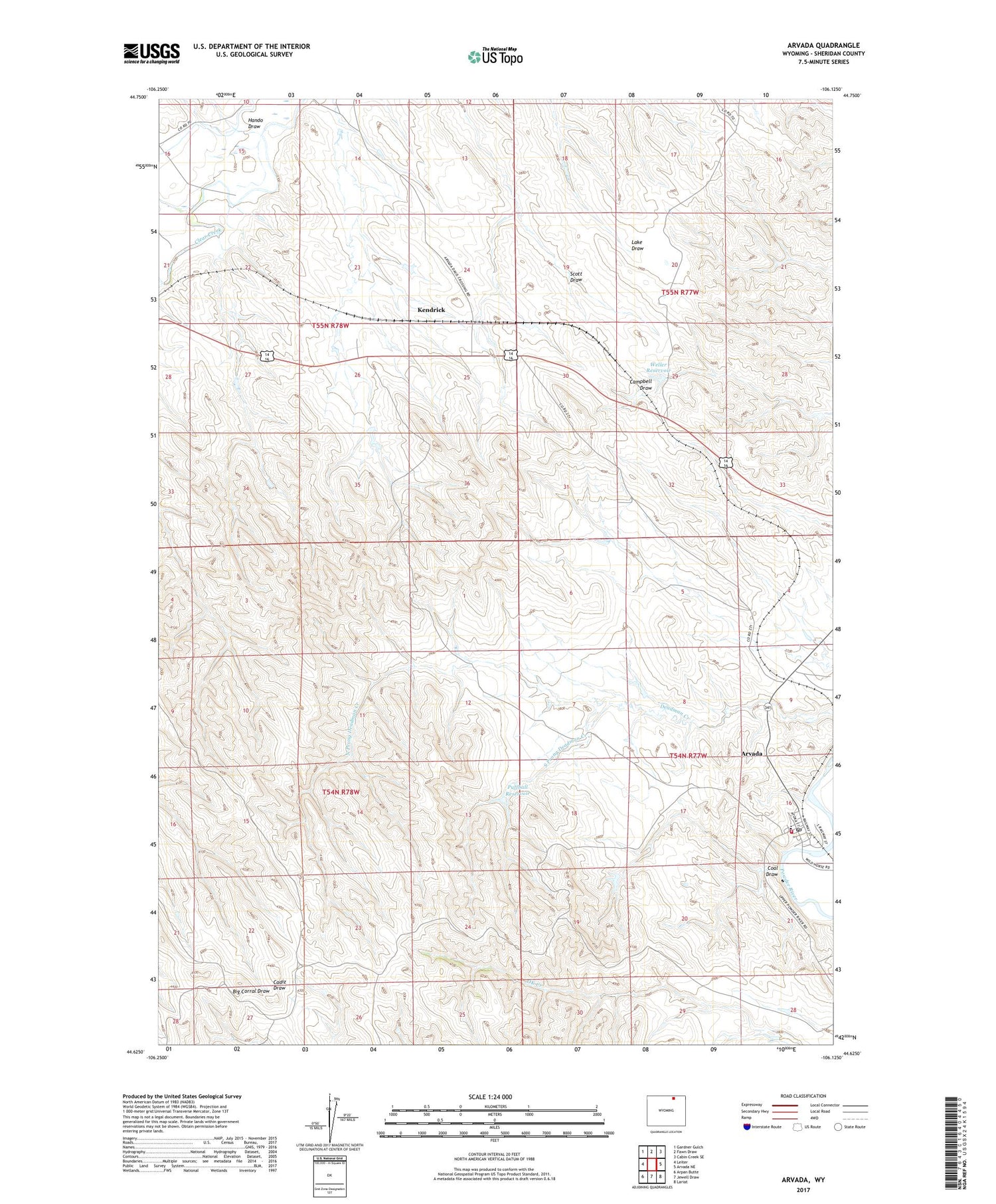
2021 topographic map quadrangle Arvada in the state of Wyoming. Scale: 1:24000. Based on the newly updated USGS 7.5' US Topo map series, this map is in the following counties: Sheridan. The map contains contour data, water features, and other items you are used to seeing on USGS maps, but also has updated roads and other features. This is the next generation of topographic maps. Printed on high-quality waterproof paper with UV fade-resistant inks.
Quads adjacent to this one:
West: Leiter
Northwest: Gardner Gulch
North: Fawn Draw
Northeast: Cabin Creek SE
East: Arvada NE
Southeast: Lariat
South: Jewell Draw
Southwest: Arpan Butte
Contains the following named places: Arvada, Arvada Census Designated Place, Arvada Coal Mine, Arvada Post Office, Arvada School, Clearmont Fire District, Coal Draw, Hando Draw, Kendrick, North Prong Deadman Creek, Puffball Dam, Puffball Reservoir, South Prong Deadman Creek, Sweat Mine, Weller Dam, Weller Reservoir, Whitman Mine, Wild Horse Creek, Wyoming Smokeless Mine


