MyTopo
Badwater NE Wyoming US Topo Map
Couldn't load pickup availability
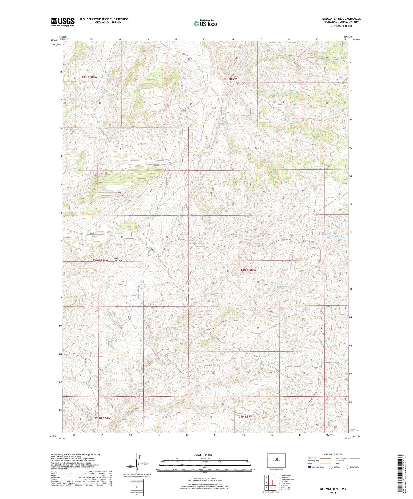
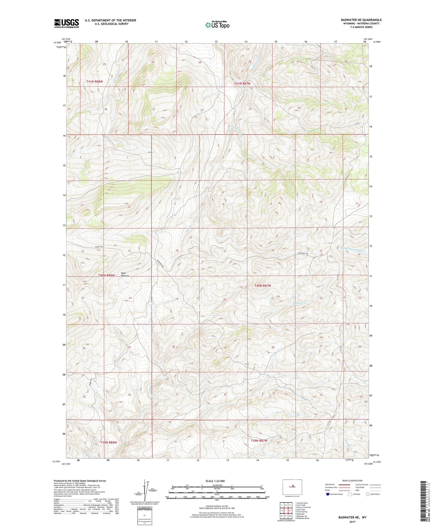
2021 topographic map quadrangle Badwater NE in the state of Wyoming. Scale: 1:24000. Based on the newly updated USGS 7.5' US Topo map series, this map is in the following counties: Natrona. The map contains contour data, water features, and other items you are used to seeing on USGS maps, but also has updated roads and other features. This is the next generation of topographic maps. Printed on high-quality waterproof paper with UV fade-resistant inks.
Quads adjacent to this one:
West: Sioux Pass
Northwest: Cornell Gulch
North: Lost Creek
Northeast: Cherry Creek Hill
East: Grave Spring
Southeast: Deadman Butte
South: Badwater SE
Southwest: Badwater
Contains the following named places: Baskett Cabin, Bishop Cabin, Carlson Cabin, Larson Cabin, Little Lost Creek, Okie Pasture, Rate Sheep Camp, Sawmill Creek