MyTopo
Bairoil Wyoming US Topo Map
Couldn't load pickup availability
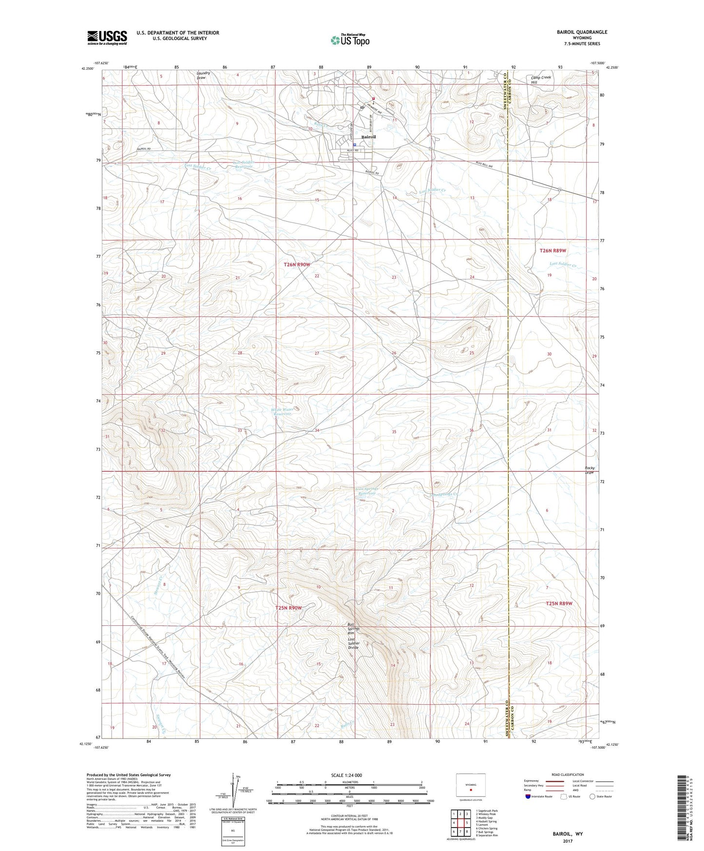
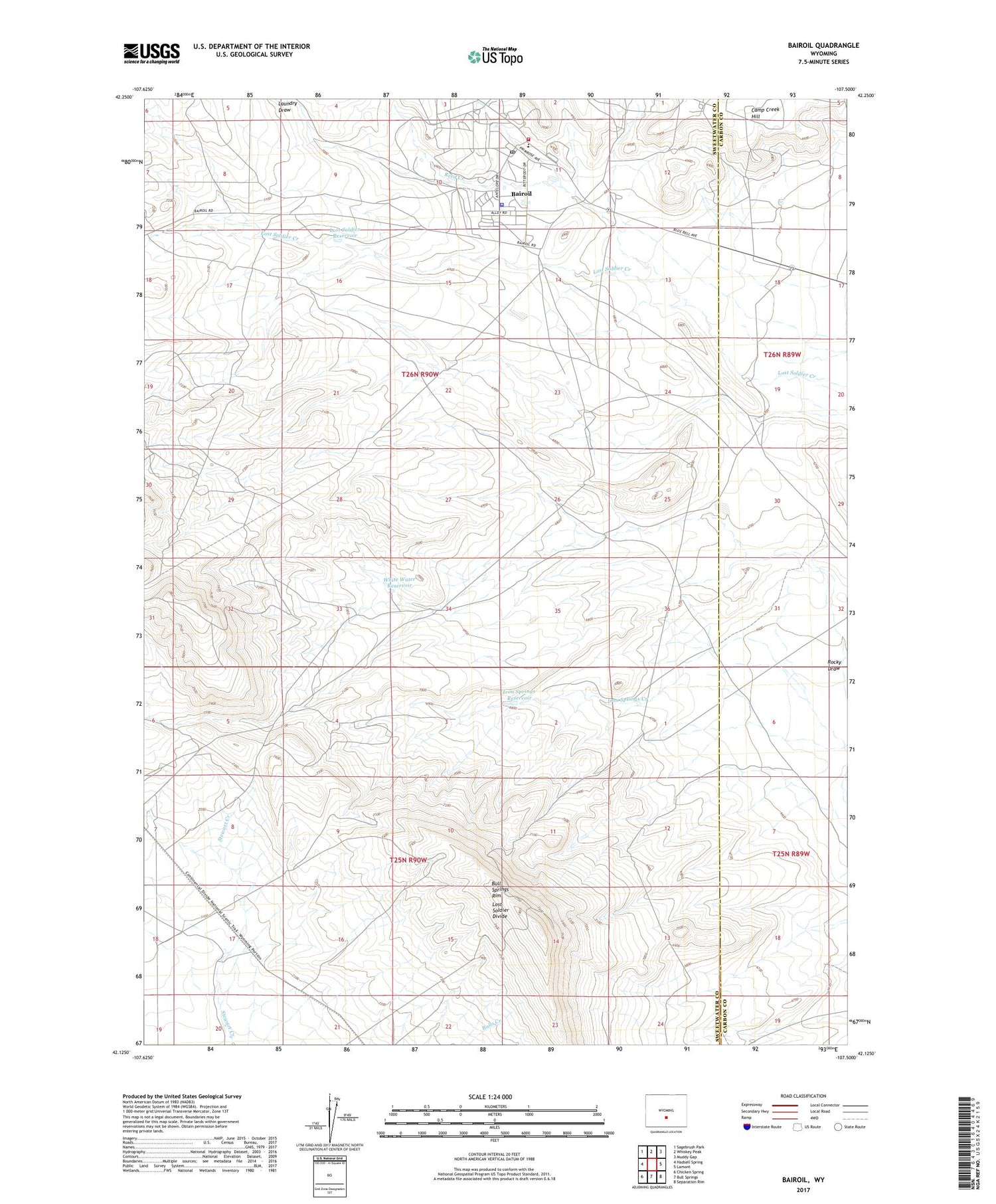
2021 topographic map quadrangle Bairoil in the state of Wyoming. Scale: 1:24000. Based on the newly updated USGS 7.5' US Topo map series, this map is in the following counties: Sweetwater, Carbon. The map contains contour data, water features, and other items you are used to seeing on USGS maps, but also has updated roads and other features. This is the next generation of topographic maps. Printed on high-quality waterproof paper with UV fade-resistant inks.
Quads adjacent to this one:
West: Hadsell Spring
Northwest: Sagebrush Park
North: Whiskey Peak
Northeast: Muddy Gap
East: Lamont
Southeast: Separation Rim
South: Bull Springs
Southwest: Chicken Spring
Contains the following named places: Abel Creek, Bairoil, Bairoil Fire Department, Bairoil Police Department, Bairoil Post Office, Bairoil School, Iron Springs Reservoir, Laundry Draw, Lost Soldier Oil Field, Lost Soldier Reservoir, Reed Creek, South Camp, Town of Bairoil, Wertz Camp, Wertz Oil Field, White Water Reservoir, ZIP Code: 82322