MyTopo
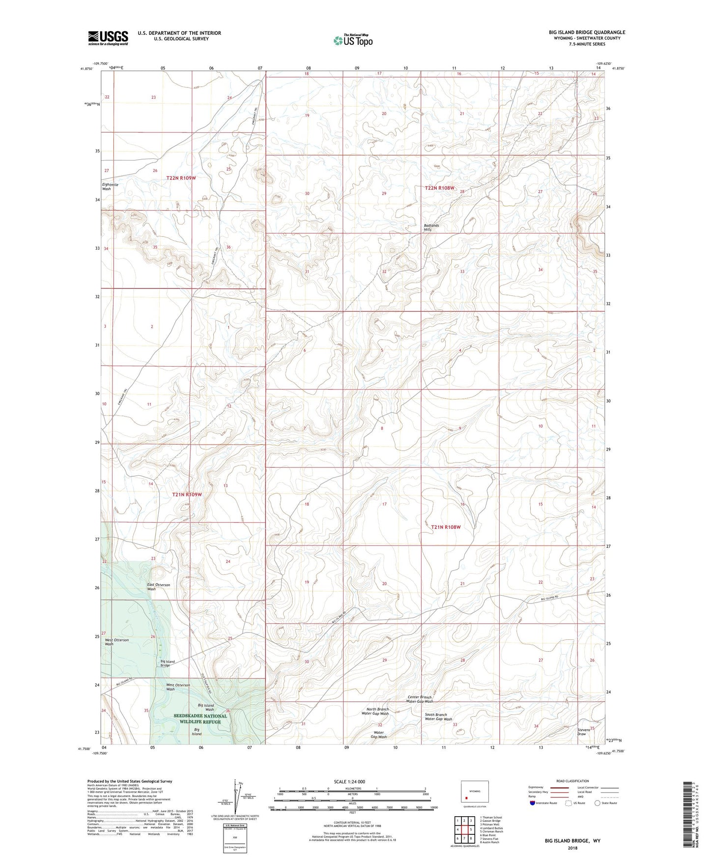
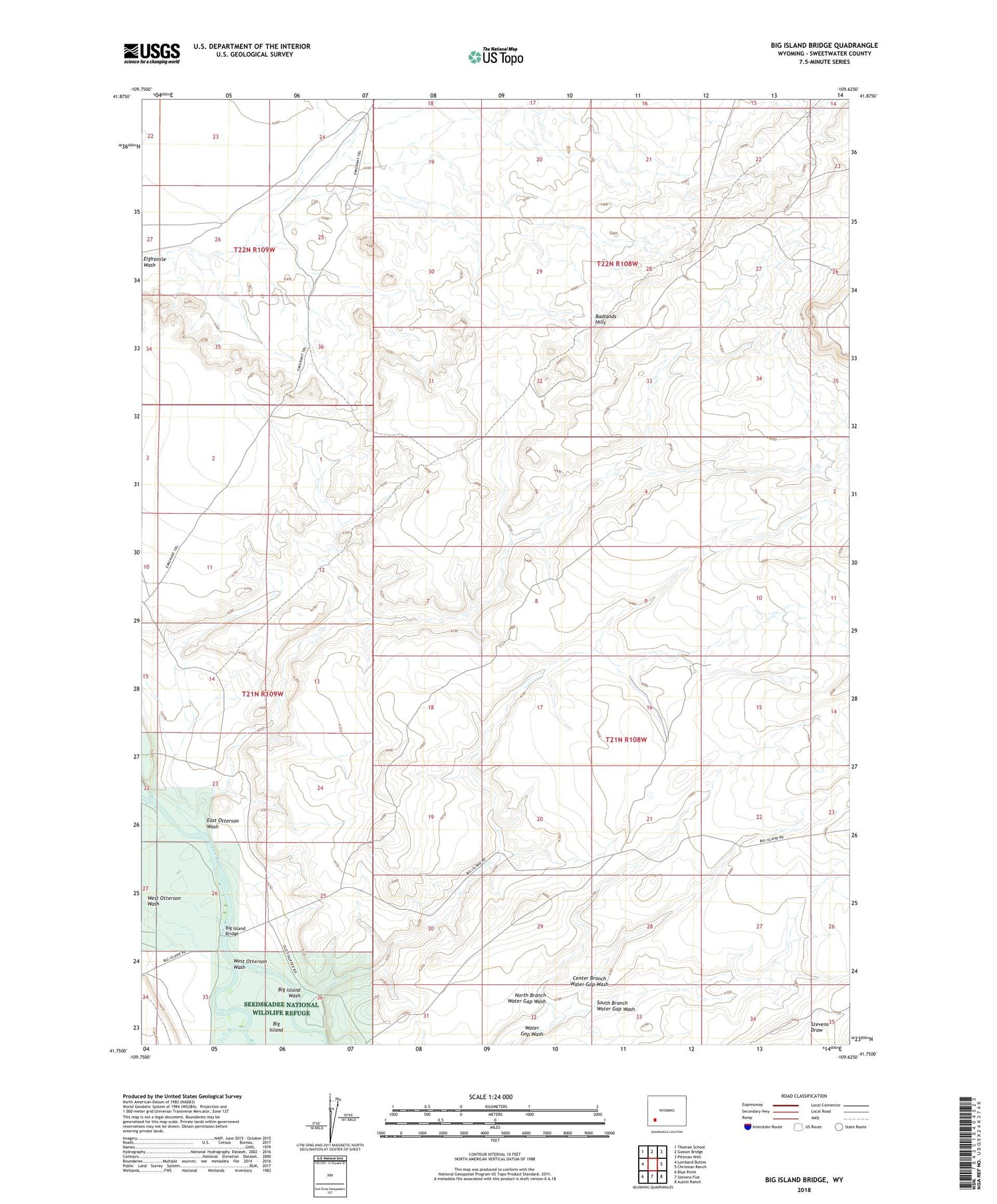
Big Island Bridge Wyoming US Topo Map
Couldn't load pickup availability
2021 topographic map quadrangle Big Island Bridge in the state of Wyoming. Scale: 1:24000. Based on the newly updated USGS 7.5' US Topo map series, this map is in the following counties: Sweetwater. The map contains contour data, water features, and other items you are used to seeing on USGS maps, but also has updated roads and other features. This is the next generation of topographic maps. Printed on high-quality waterproof paper with UV fade-resistant inks.
Quads adjacent to this one:
West: Lombard Buttes
Northwest: Thoman School
North: Gasson Bridge
Northeast: Pittman Well
East: Chrisman Ranch
Southeast: Austin Ranch
South: Stevens Flat
Southwest: Blue Point
Contains the following named places: Badlands Hills, Big Island, Big Island Bridge, Big Island Wash, Center Branch Water Gap Wash, East Otterson Wash, Green River North Division, North Branch Water Gap Wash, South Branch Water Gap Wash, Stauffer Chemical Company Big Island Number Twelve Mine, West Otterson Wash