MyTopo
Austin Ranch Wyoming US Topo Map
Couldn't load pickup availability
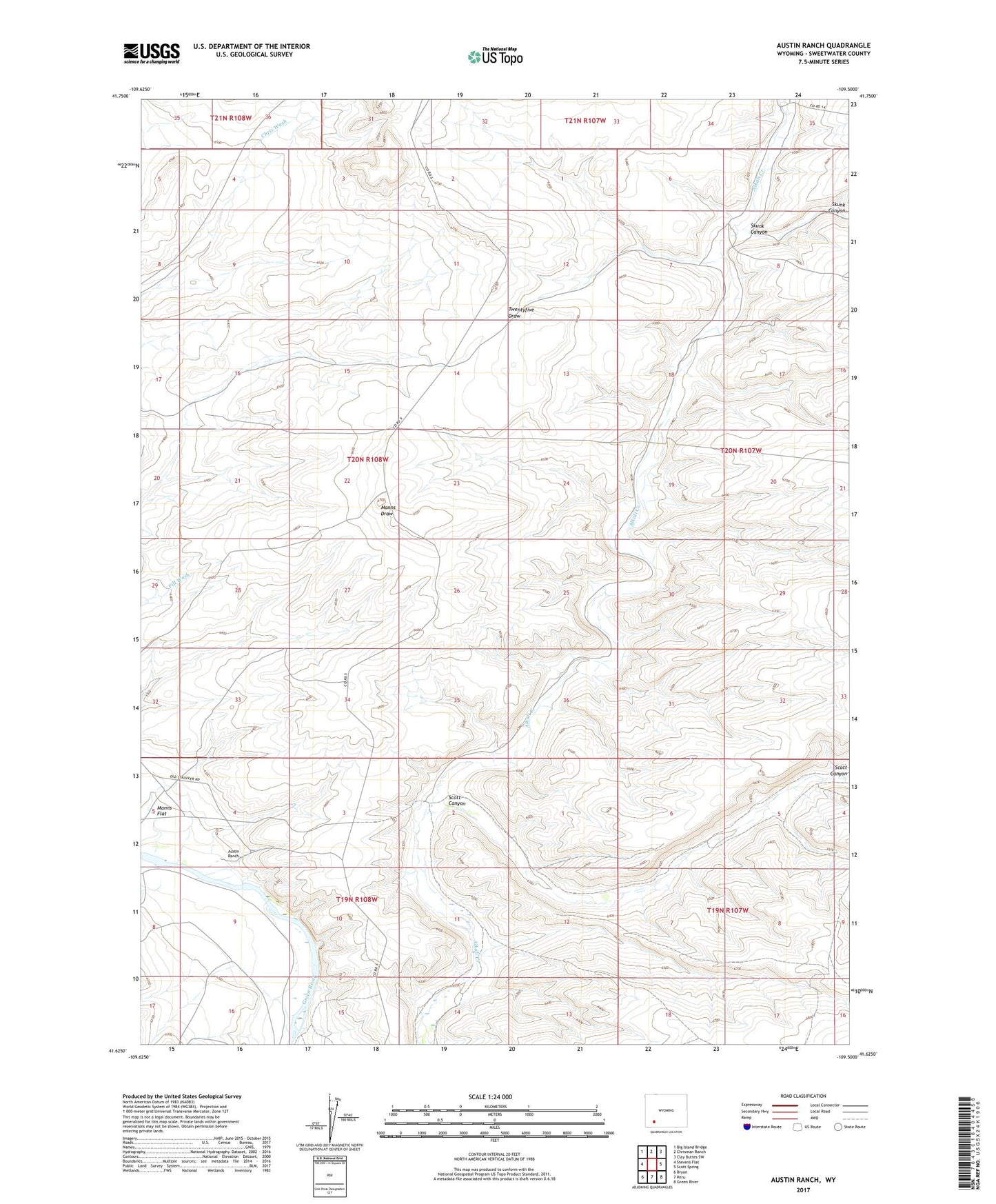
2021 topographic map quadrangle Austin Ranch in the state of Wyoming. Scale: 1:24000. Based on the newly updated USGS 7.5' US Topo map series, this map is in the following counties: Sweetwater. The map contains contour data, water features, and other items you are used to seeing on USGS maps, but also has updated roads and other features. This is the next generation of topographic maps. Printed on high-quality waterproof paper with UV fade-resistant inks.
Quads adjacent to this one:
West: Stevens Flat
Northwest: Big Island Bridge
North: Chrisman Ranch
Northeast: Clay Buttes SW
East: Scott Spring
Southeast: Green River
South: Peru
Southwest: Bryan
This map covers the same area as the classic USGS quad with code o41109f5.
Contains the following named places: Austin Ranch, Blue Rim Reservoir Number 1, Scott Canyon, Skunk Canyon