MyTopo
Bonneville SW Wyoming US Topo Map
Couldn't load pickup availability
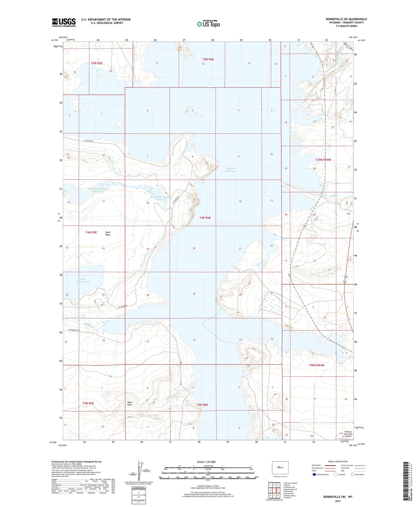
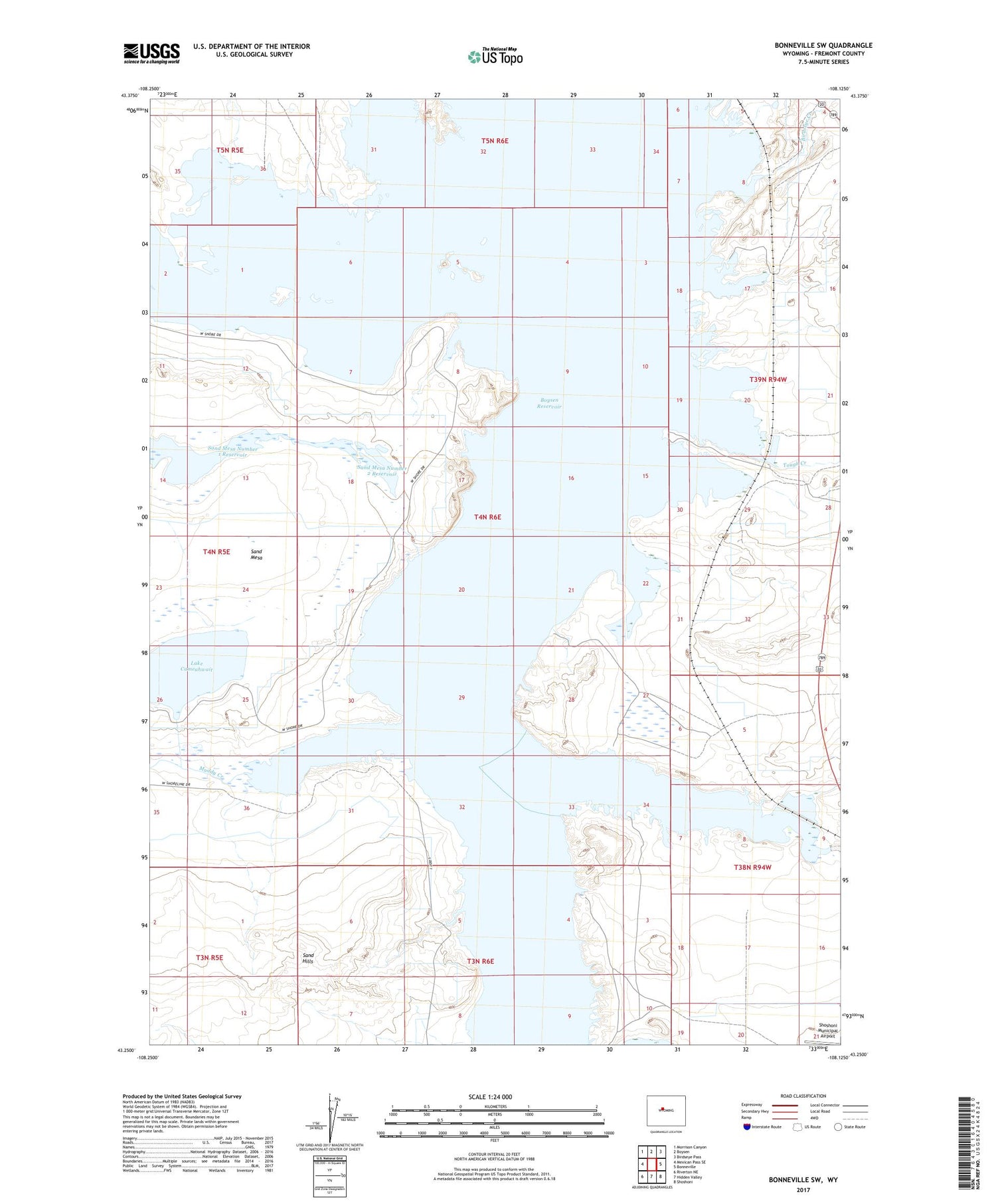
2021 topographic map quadrangle Bonneville SW in the state of Wyoming. Scale: 1:24000. Based on the newly updated USGS 7.5' US Topo map series, this map is in the following counties: Fremont. The map contains contour data, water features, and other items you are used to seeing on USGS maps, but also has updated roads and other features. This is the next generation of topographic maps. Printed on high-quality waterproof paper with UV fade-resistant inks.
Quads adjacent to this one:
West: Mexican Pass SE
Northwest: Morrison Canyon
North: Boysen
Northeast: Birdseye Pass
East: Bonneville
Southeast: Shoshoni
South: Hidden Valley
Southwest: Riverton NE
Contains the following named places: Badwater Creek, Birdseye Creek, Boysen Reservoir, Lake Cameahwait, Muddy Creek, Prong Horn Number Fourteen Mine, Reservoir Creek, Sand Hills, Sand Mesa Number 1 Dam, Sand Mesa Number 1 Reservoir, Sand Mesa Number 2 Dam, Sand Mesa Number 2 Reservoir, Tough Creek