MyTopo
Shoshoni Wyoming US Topo Map
Couldn't load pickup availability
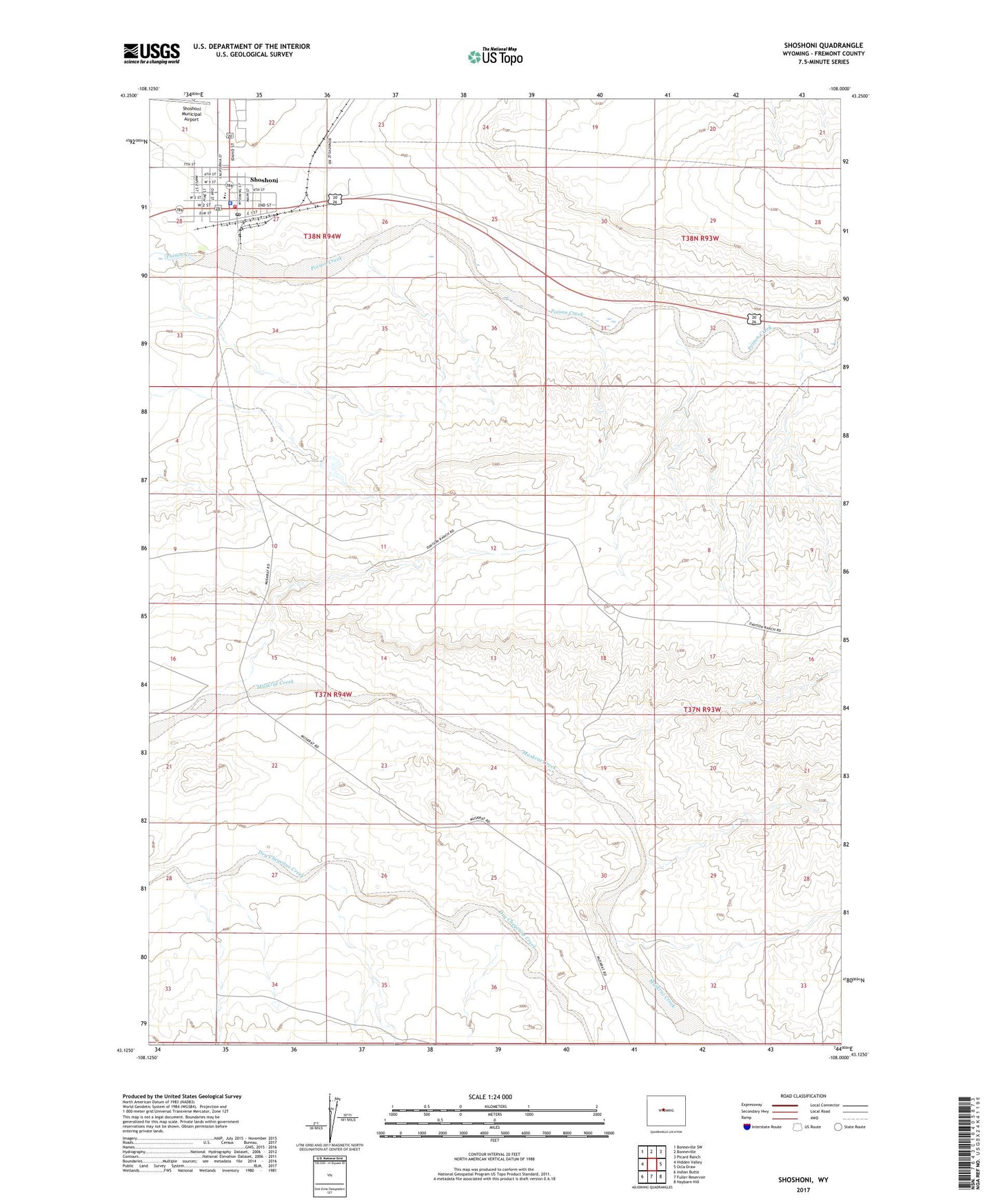
2021 topographic map quadrangle Shoshoni in the state of Wyoming. Scale: 1:24000. Based on the newly updated USGS 7.5' US Topo map series, this map is in the following counties: Fremont. The map contains contour data, water features, and other items you are used to seeing on USGS maps, but also has updated roads and other features. This is the next generation of topographic maps. Printed on high-quality waterproof paper with UV fade-resistant inks.
Quads adjacent to this one:
West: Hidden Valley
Northwest: Bonneville SW
North: Bonneville
Northeast: Picard Ranch
East: Ocla Draw
Southeast: Haybarn Hill
South: Fuller Reservoir
Southwest: Indian Butte
This map covers the same area as the classic USGS quad with code o43108b1.
Contains the following named places: Fremont County Fire Protection District Battalion 14 Shoshoni, Shoshoni, Shoshoni Elementary School, Shoshoni Junior High School, Shoshoni Police Department, Shoshoni Post Office, Shoshoni Schools, Shoshoni Volunteer Fire Department, Town of Shoshoni