MyTopo
Bonnie Reservoir Wyoming US Topo Map
Couldn't load pickup availability
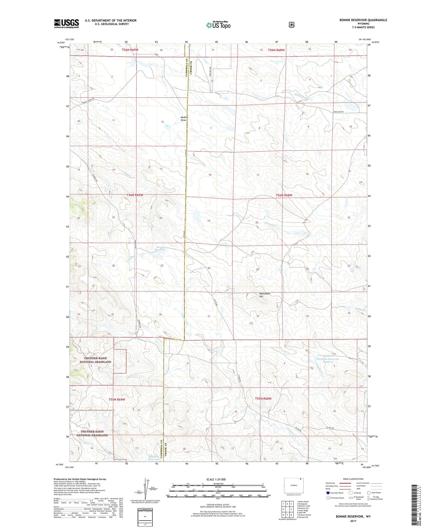
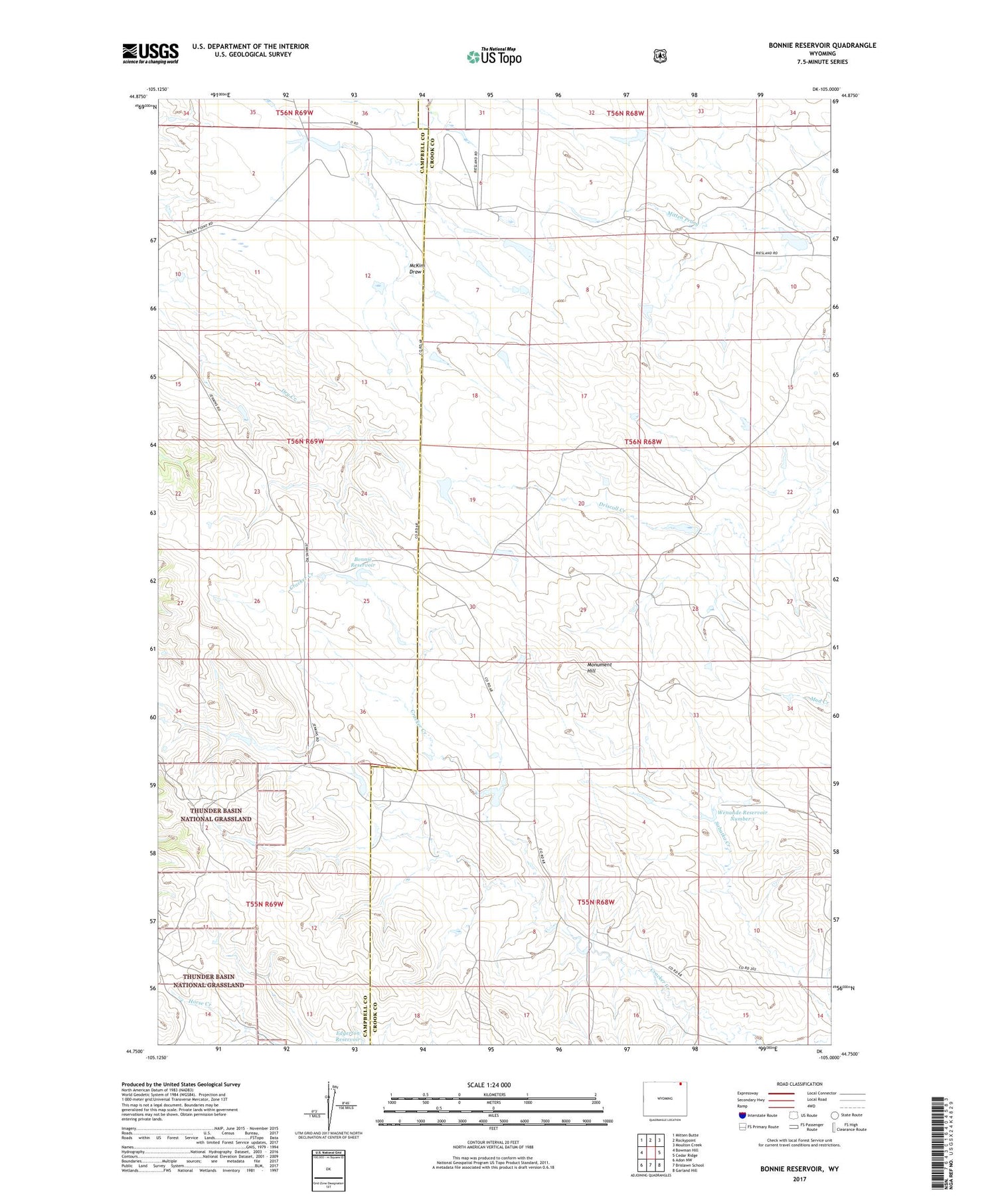
2021 topographic map quadrangle Bonnie Reservoir in the state of Wyoming. Scale: 1:24000. Based on the newly updated USGS 7.5' US Topo map series, this map is in the following counties: Crook, Campbell. The map contains contour data, water features, and other items you are used to seeing on USGS maps, but also has updated roads and other features. This is the next generation of topographic maps. Printed on high-quality waterproof paper with UV fade-resistant inks.
Quads adjacent to this one:
West: Bowman Hill
Northwest: Mitten Butte
North: Rockypoint
Northeast: Moulton Creek
East: Cedar Ridge
Southeast: Garland Hill
South: Brislawn School
Southwest: Adon NW
Contains the following named places: Bonnie Reservoir, Horse Creek Arena, Jenkins Ranch, McKim Draw, Mitch Dam, Mitch Reservoir, Monument Hill, Stroner, Wenande Ranch, Wenande Reservoir Number 1