MyTopo
Moulton Creek Wyoming US Topo Map
Couldn't load pickup availability
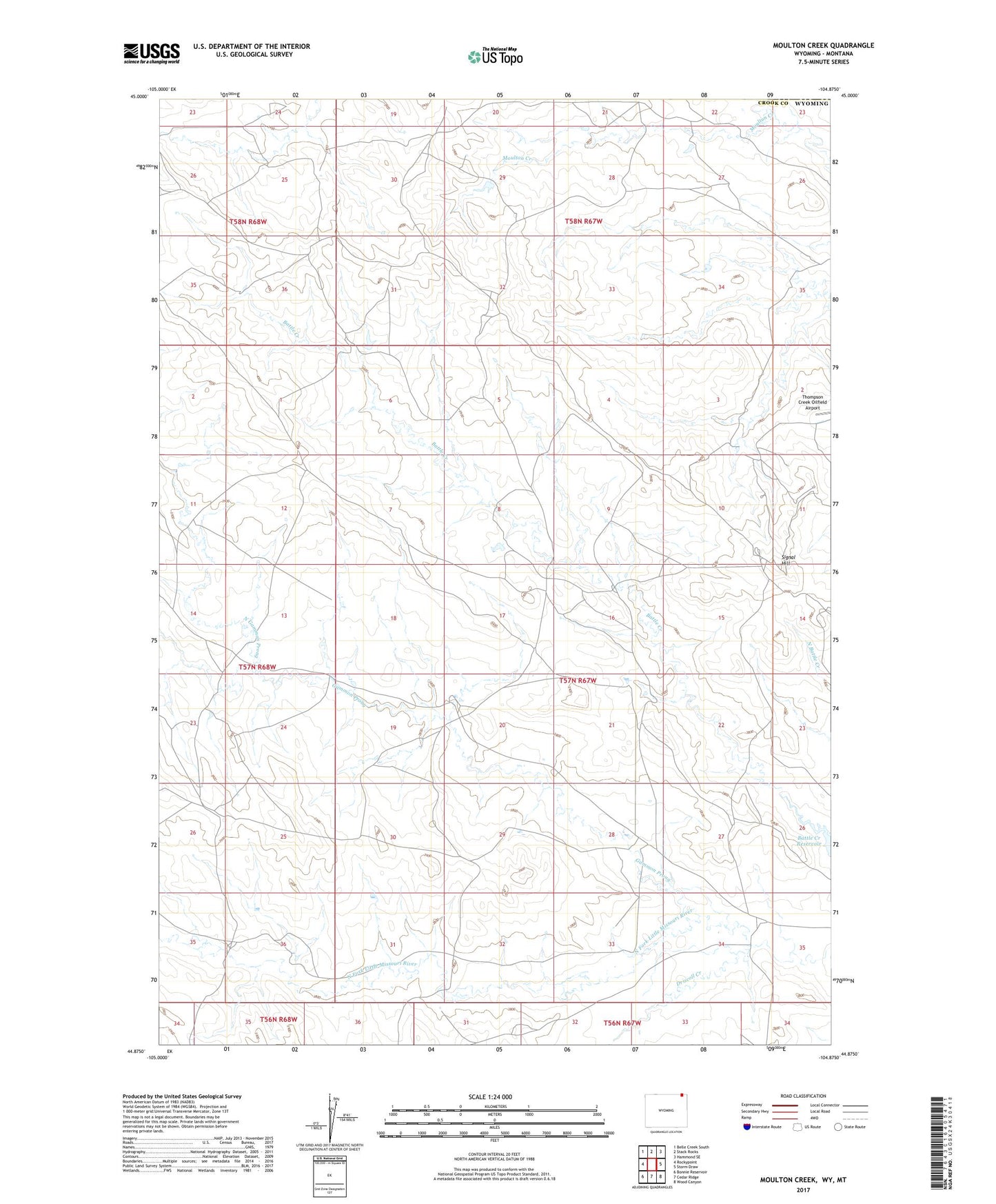
2021 topographic map quadrangle Moulton Creek in the state of Wyoming. Scale: 1:24000. Based on the newly updated USGS 7.5' US Topo map series, this map is in the following counties: Crook, Carter. The map contains contour data, water features, and other items you are used to seeing on USGS maps, but also has updated roads and other features. This is the next generation of topographic maps. Printed on high-quality waterproof paper with UV fade-resistant inks.
Quads adjacent to this one:
West: Rockypoint
Northwest: Belle Creek South
North: Stack Rocks
Northeast: Hammond SE
East: Storm Draw
Southeast: Wood Canyon
South: Cedar Ridge
Southwest: Bonnie Reservoir
This map covers the same area as the classic USGS quad with code o44104h8.
Contains the following named places: Driscoll Creek, Gammon Prong, Moulton Creek, North Gammon Prong, Signal Hill, Thompson Creek Oilfield Airport