MyTopo
Crater Lake Wyoming US Topo Map
Couldn't load pickup availability
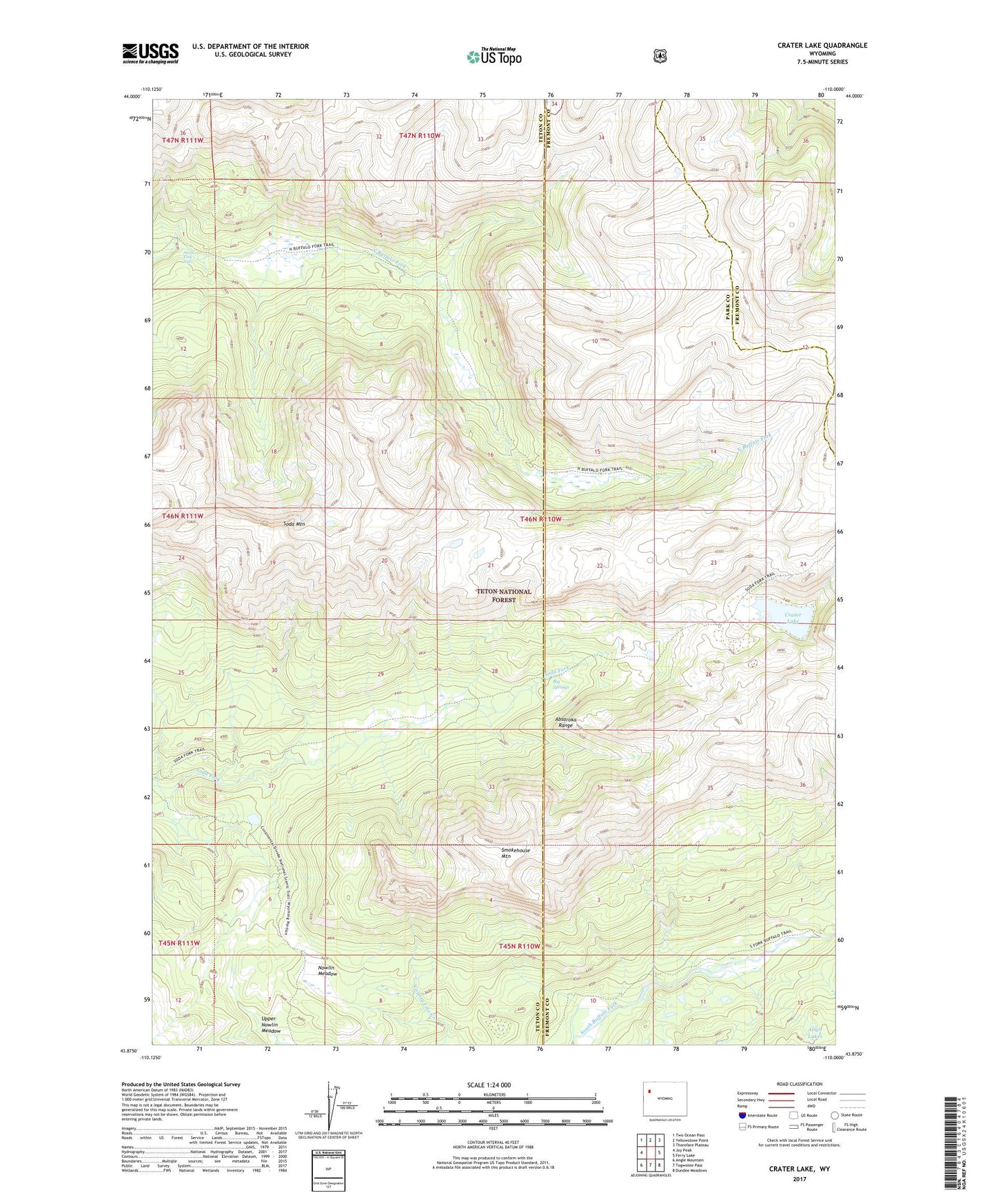
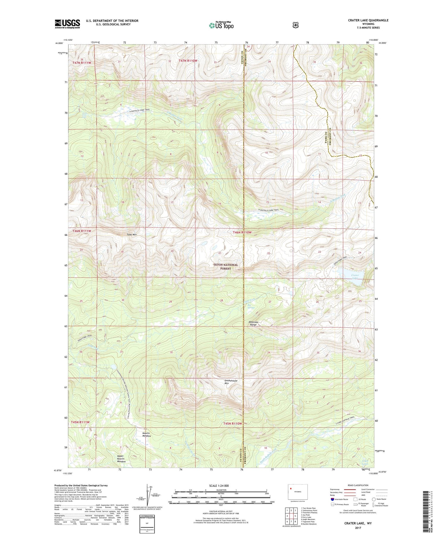
2021 topographic map quadrangle Crater Lake in the state of Wyoming. Scale: 1:24000. Based on the newly updated USGS 7.5' US Topo map series, this map is in the following counties: Teton, Fremont, Park. The map contains contour data, water features, and other items you are used to seeing on USGS maps, but also has updated roads and other features. This is the next generation of topographic maps. Printed on high-quality waterproof paper with UV fade-resistant inks.
Quads adjacent to this one:
West: Joy Peak
Northwest: Two Ocean Pass
North: Yellowstone Point
Northeast: Thorofare Plateau
East: Ferry Lake
Southeast: Dundee Meadows
South: Togwotee Pass
Southwest: Angle Mountain
Contains the following named places: Angle Lakes, Big Springs, Crater Lake, Nawlin Meadow Patrol Cabin, North Fork Falls, Nowlin Meadow, Smokehouse Mountain, Soda Fork Trail, Soda Mountain, Upper Nowlin Meadow